Midtown in San Antonio in Bexar County, Texas — The American South (West South Central)
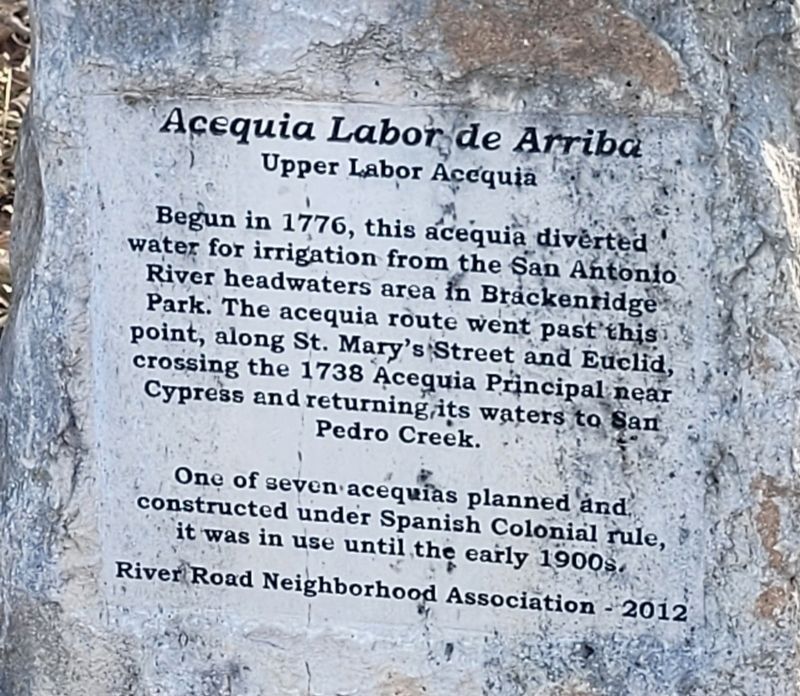
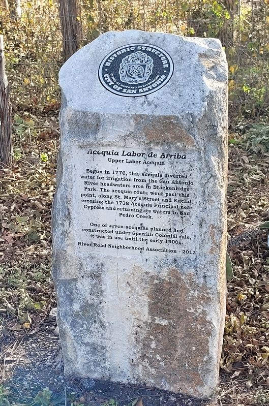
Acequia Labor de Arriba
Upper Labor Acequia
One of seven acequias planned and constructed under Spanish Colonial rule, it was in use until the early 1900s.
Erected 2012 by River Road Neighborhood Association.
Topics. This historical marker is listed in these topic lists: Colonial Era • Waterways & Vessels. A significant historical year for this entry is 1776.
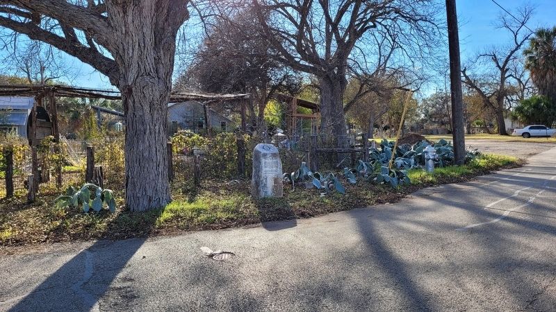
Location. 29° 27.349′ N, 98° 28.738′ W. Marker is in San Antonio, Texas, in Bexar County. It is in Midtown. Marker is at the intersection of East Huisache Avenue and Allison Road, on the right when traveling east on East Huisache Avenue. The marker is located along the southwest corner of the road. Touch for map. Marker is in this post office area: San Antonio TX 78212, United States of America. Touch for directions.
Other nearby markers. At least 8 other markers are within walking distance of this marker. Acequia de Arriba (within shouting distance of this marker); Polo Field (approx. 0.2 miles away); Archaeology in Brackenridge Park (approx. ¼ mile away); Water Works Channel (approx. 0.3 miles away); The Mexican Village (approx. 0.3 miles away); Japanese Tea Garden (approx. 0.4 miles away); Upper Labor Acequia (approx. 0.4 miles away); Alamo Portland and Roman Cement Company (approx. 0.4 miles away). Touch for a list and map of all markers in San Antonio.
Also see . . . Acequias. Texas State Historical Association
The building of acequias, or irrigation canals, was an important element in Spanish efforts to colonize Texas. Much of the region occupied by the Spanish in Texas was semiarid, and irrigation was vitally necessary for the success of agriculture. Acequias had been widely used throughout Spain since the time of the Moorish conquest, and the early Spanish colonists brought with them sophisticated knowledge of how to construct large-scale irrigation systems. The earliest acequias in Texas were dug near Ysleta, below El Paso, after 1680 by Pueblo Indians under the supervision of Spanish friars. These first acequias eventually became part of a large irrigation network, portions of which were still in use in the early 1990s.(Submitted on January 3, 2023, by James Hulse of Medina, Texas.)
Credits. This page was last revised on February 2, 2023. It was originally submitted on January 3, 2023, by James Hulse of Medina, Texas. This page has been viewed 115 times since then and 33 times this year. Photos: 1, 2, 3. submitted on January 3, 2023, by James Hulse of Medina, Texas.


