South Bend in St. Joseph County, Indiana — The American Midwest (Great Lakes)
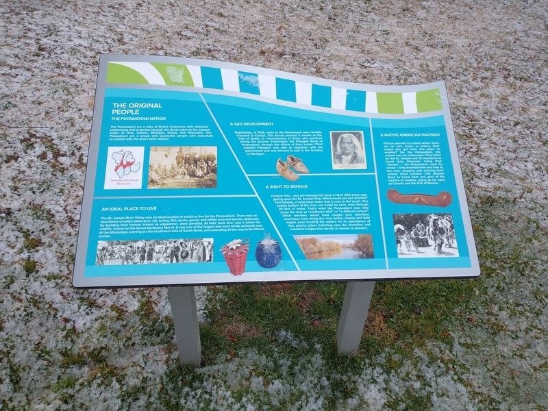
The Original People
The Potawatomi Nation
The Potawatomi are a tribe of Native Americans with historical settlements that extended through the Great Lakes in the present states of Ohio, Indiana, Michigan, Illinois, and Wisconsin. The Potawatomi are a proud and successful people who peacefully co-existed with the area's early settlers.
An Ideal Place To Live
The St. Joseph River Valley was an ideal location in which to live for the Potawatomi. There was an abundance of white-tailed deer, elk, turkey, fish, ducks, geese, and edible nuts and berries. Materials for building their homes, known as wigwamen, were plentiful. At their back door was a haven for wildlife, known as the Grand Kankakee Marsh. It was one of the largest and most fertile wetlands east of the Mississippi, starting on the southwest side of South Bend, and extending all the way to the Illinois border.
A Sad Development
Regrettably, in 1838, most of the Potawatomi were forcibly marched to Kansas. This forced removal is known as the Trail of Death, in remembrance of those who perished during the journey. Fortunately, the Pokagon Band of Potawatomi, through the efforts of their leader, Chief Leopold Pokagon, was able to negotiate with the government and was allowed to stay in the Territory of Michigan.
A Sight To Behold
Imagine this… you are transported back in time 200 years ago, gazing upon the St. Joseph River. What would you see and feel? Fast-flowing, crystal-clear water that is cool to the touch. The pebbly bottom of the river can easily be seen, even through 30 feet of water. That's what the Potawatomi saw, who knew the river as "znathwen zibé", or "a difficult current". Other wonders would have caught your attention: enormous trees lining the river banks, osprey and bald eagles seen hunting the waters for its abundance of fish, playful otters frolicking near the shoreline, and riverbank lodges that served as homes to beavers.
A Native American Highway
Picture yourself in a world where there are no cars, trains, or planes. How would you get from one place to another? For the Potawatomi, the answer was our waterways. They relied on the St. Joseph and its tributaries to travel long distances. Using their "thiman"- the Potawatomi word for canoe-they traveled from one river to the next, stopping and carrying their canoes when needed. This allowed them to travel from one part of the country to another, going as far away as Canada and the Gulf of Mexico.
Topics. This historical marker is listed in these topic lists: Native Americans • Settlements & Settlers • Waterways & Vessels. A significant historical year for this entry is 1838.
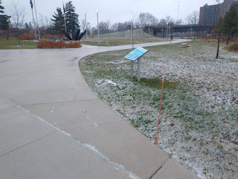
Location. 41° 40.43′ N, 86° 14.578′ W. Marker is in South Bend, Indiana, in St. Joseph County. Marker is at the intersection of South Saint Louis Boulevard and East Wayne Street, on the right when traveling south on South Saint Louis Boulevard. Touch for map. Marker is at or near this postal address: 219 S St Louis Blvd, South Bend IN 46617, United States of America. Touch for directions.
Other nearby markers. At least 8 other markers are within walking distance of this marker. A Window To Our Past (a few steps from this marker); St. Joseph County Vietnam Veterans Memorial (within shouting distance of this marker); History of Howard Park (about 300 feet away, measured in a direct line); 9/11 Memorial (about 400 feet away); COVID-19 Pandemic Memorial (about 400 feet away); Howard Park (about 500 feet away); Special Olympics Island (approx. ¼ mile away); Robertson's Department Store (approx. 0.4 miles away). Touch for a list and map of all markers in South Bend.
Credits. This page was last revised on January 4, 2023. It was originally submitted on January 3, 2023, by Craig Doda of Napoleon, Ohio. This page has been viewed 69 times since then and 8 times this year. Photos: 1, 2. submitted on January 3, 2023, by Craig Doda of Napoleon, Ohio. • Devry Becker Jones was the editor who published this page.

