Forest Park in St. Louis, Missouri — The American Midwest (Upper Plains)
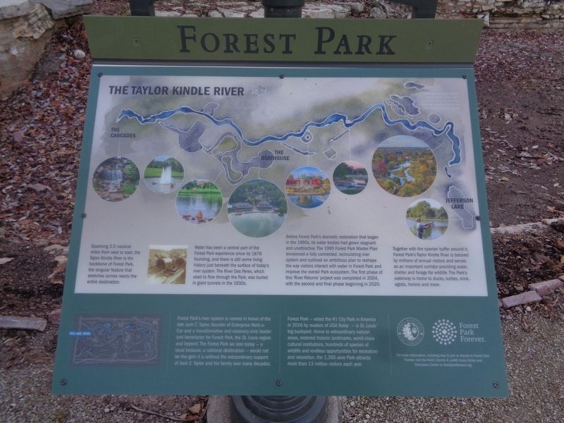
The Taylor Kindle River
Forest Park
Spanning 2.5 nautical miles from west to east, the Taylor Kindle River is the backbone of Forest Park, the singular feature that stretches across nearly the entire destination.
Water has been a central part of the Forest Park experience since its 1876 founding, and there is still some living history just beneath the surface of today's river system. The River Des Peres, which used to flow through the Park, was buried in giant tunnels in the 1930s.
Before Forest Park's dramatic restoration that began in the 1990s, its water bodies had grown stagnant and unattractive. The 1995 Forest Park Master Plan envisioned a fully connected, recirculating river system and outlined an ambitious plan to reshape the way visitors interact with water in Forest Park and improve the overall Park ecosystem. The first phase of this "River Returns" project was completed in 2004, with the second and final phase beginning in 2020.
Together with the riparian buffer around it, Forest Park's Taylor Kindle River is beloved by millions of annual visitors and serves as an important corridor providing water, shelter and forage for wildlife. The Park's waterway is home to ducks, turtles, mink, egrets, herons and more.
(aside:)
Forest Park's river system is named in honor of the late Jack C. Taylor, founder of Enterprise Rent-a-Car and a transformative and visionary civic leader and benefactor for Forest Park, the St. Louis region and beyond. The Forest Park we love today - a local treasure, a national destination - would not be the gem it is without the extraordinary support of Jack C. Taylor and his family over many decades.
Forest Park - voted the #1 City Park in America in 2016 by readers of USA Today - is St. Louis' big backyard. Home to extraordinary natural areas, restored historic landmarks, world-class cultural institutions, hundreds of species of wildlife and endless opportunities for recreation and relaxation, the 1,300-acre Park attracts more than 13 million visitors each year.
Erected by City of St. Louis Parks Recreation and Forestry and Forest Park Forever.
Topics. This historical marker is listed in these topic lists: Parks & Recreational Areas • Waterways & Vessels. A significant historical year for this entry is 1876.
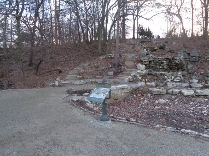
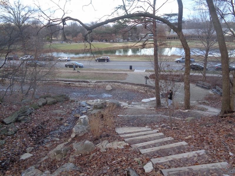
Location. 38° 38.609′ N, 90° 17.883′ W. Marker is in St. Louis, Missouri. It is in Forest Park. Marker is on Lagoon Drive west of Fine Arts Drive, on the right when traveling east. Marker is located at the Cascades in Forest Park. Touch for map. Marker is at or near this postal address: 6141 Lagoon Dr, Saint Louis MO 63112, United States of America. Touch for directions.
Other nearby markers. At least 8 other markers are within walking distance of this marker. Welcome to Forest Park (approx. ¼ mile away); Apotheosis of St. Louis, 1904-1906
(approx. 0.3 miles away); The Grand Basin (approx. 0.4 miles away); Giant Three-Way Plug, Scale A, 1970-1971 (approx. 0.4 miles away); Saint Louis Art Museum (approx. half a mile away); Friedrich Ludwig Jahn (approx. half a mile away); Parkview (approx. 0.6 miles away); Can the Past Tear Us Apart? (approx. 0.6 miles away). Touch for a list and map of all markers in St. Louis.
Credits. This page was last revised on January 30, 2023. It was originally submitted on January 3, 2023, by Jason Voigt of Glen Carbon, Illinois. This page has been viewed 229 times since then and 43 times this year. Photos: 1, 2, 3. submitted on January 3, 2023, by Jason Voigt of Glen Carbon, Illinois.


