East Side in San Antonio in Bexar County, Texas — The American South (West South Central)
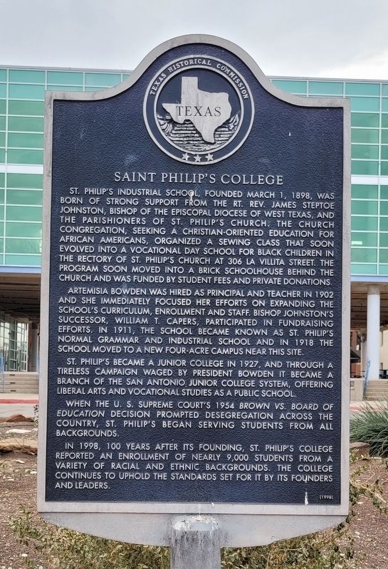
Saint Philip's College
Photographed by James Hulse, December 30, 2022
1. Saint Philip's College Marker
Artemisia Bowden was hired as principal and teacher in 1902 and she immediately focused her efforts on expanding the school's curriculum, enrollment and staff. Bishop Johnston's successor, William T. Capers, participated in fundraising efforts. In 1911, the school became known as St. Philip's Normal Grammar and Industrial School and in 1918 the school moved to a new four-acre campus near this site.
St. Philip's became a junior college in 1927, and through a tireless campaign waged by President Bowden it became a branch of the San Antonio Junior College System, offering liberal arts and vocational studies as a public school.
When the U.S. Supreme Court's 1954 Brown vs. Board of Education decision prompted desegregation across the country, St. Philip's began serving students from all backgrounds.
In 1998, 100 years after its founding, St. Philip's College reported an enrollment of nearly 9,000 students from a variety of racial and ethnic backgrounds. The college continues to uphold the standards set for it by its founders and leaders.
Erected 1998 by Texas Historical Commission. (Marker Number 11748.)
Topics. This historical marker is listed in these topic lists: African Americans • Civil Rights • Education
this page online
Location. 29° 25.04′ N, 98° 27.207′ W. Marker is in San Antonio, Texas, in Bexar County. It is in the East Side. It is at the intersection of Wyoming Street and South Mittman Street, on the right when traveling east on Wyoming Street. The marker is located in the circular driveway in front of the college. Touch for map. Marker is at or near this postal address: 2330 Wyoming Street, San Antonio TX 78203, United States of America. Touch for directions.

Regionally, this marker is in South Texas. It is also in the American South. Globally, it is in North America, a Gulf of Mexico state, the Western Hemisphere, the Western World, and the Anglosphere. Historically, it finds itself in what was once New Spain, the Republic of Texas, and one of the Confederate States of America.
Other nearby markers. At least 8 other markers are within walking distance of this marker: Jacobs Chapel United Methodist Church (approx. 0.3 miles away); All Gave Some – Some Gave All (approx. 0.4 miles away); The Historic African American Cemetery (approx. half a mile away); Hamilton P. Bee (approx.
Photographed by James Hulse, December 30, 2022
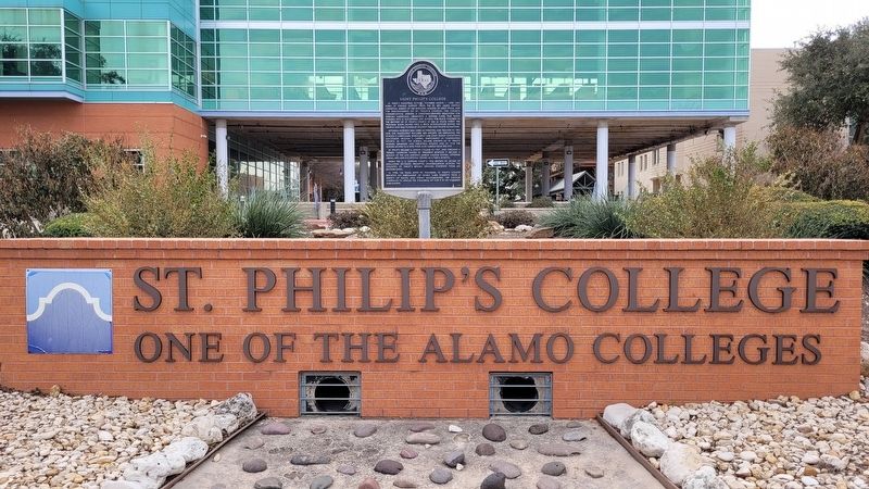
2. Saint Philip's College Marker
Also see . . . St. Philip's College. Texas State Historical Association (Submitted on January 5, 2023, by James Hulse of Medina, Texas.)
Photographed by James Hulse, December 30, 2022
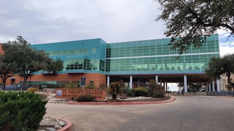
3. The view of the Saint Philip's College and Marker from the street
Credits. This page was last revised on February 2, 2023. It was originally submitted on January 5, 2023, by James Hulse of Medina, Texas. This page has been viewed 391 times since then and 41 times this year. Photos: 1, 2, 3. submitted on January 5, 2023, by James Hulse of Medina, Texas.
