Manassas, Virginia — The American South (Mid-Atlantic)
Camps of Instruction
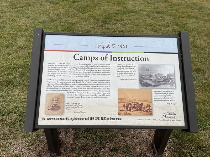
April 17, 1861
On April 17, 1861 the Virginia Secession Convention voted to leave the Union. While secession was not official until a statewide referendum in May, state leaders began to mobilize the military to defend critical areas of Virginia, including Manassas Junction. At the time of secession, Virginia only had a small militia force. A newly created Army and Navy, commanded by Robert E. Lee, was tasked with creating an army from scratch. Several native citizens who had resigned from the United States Army assisted in the effort. Soon camps of instruction were set up across the state to turn new recruits into soldiers.
At Manassas, Camp Pickens served as a large training ground. Thousands of men from across Virginia and the south converged here. Though full of patriotic fervor, few had military experience. Officers did their best to turn farm boys, mechanics and shop clerks into professional soldiers. As these men worked to build a system of earthworks around Manassas to protect the railroad junction, large pieces of artillery arrived from the Gosport Navy Yard in Norfolk and were placed in some of the forts. Though formidable weapons of war, the men had no experience firing them. Volunteers from infantry units were trained on these artillery pieces. Here at Fort Mayfield, young men and boys were slowly turned into professional soldiers.
[Captions:]
Robert E. Lee, the first commander in chief of the military and naval forces of Virginia.
The naval guns depicted in this wartime sketch were similar to ones placed at Mayfield. Paired with the earthworks and natural terrain around the fort, they made an excellent defensive position for the Confederate troops stationed there.
Soldiers practiced loading men into an ambulance during a drill. Constant practice in marching, handling weapons and caring for wounded men turned average citizens into soldiers during the opening months of the war.
Erected by City of Manassas, Virginia.
Topics. This historical marker is listed in these topic lists: Education • Forts and Castles • Railroads & Streetcars • War, US Civil. A significant historical date for this entry is April 17, 1861.
Location. 38° 45.228′ N, 77° 27.165′ W. Marker is in Manassas, Virginia. Marker can be reached from Battery Heights Boulevard south of Quarry Road, on the right when traveling north. Touch for map. Marker is at or near this postal address: 8401 Quarry Rd, Manassas VA 20110, United States of America. Touch for directions.
Other nearby markers. At least 8 other markers are within walking distance of this marker. Why the Forts? (here, next to this marker); Building the Fort System (here, next to this marker); Preservation of Mayfield Fort

Photographed By Devry Becker Jones (CC0), January 8, 2023
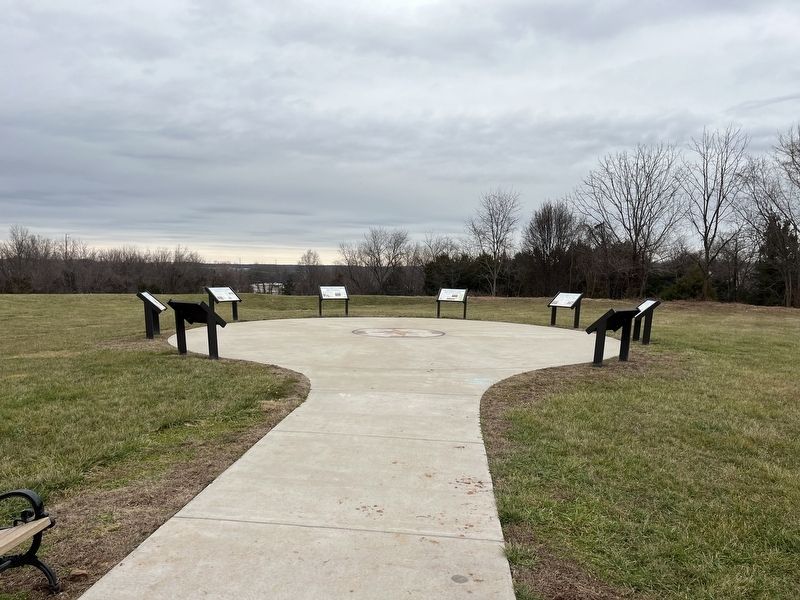
2. The markers on the grounds of Fort Mayfield
Credits. This page was last revised on January 8, 2023. It was originally submitted on January 8, 2023, by Devry Becker Jones of Washington, District of Columbia. This page has been viewed 143 times since then and 41 times this year. Photos: 1, 2. submitted on January 8, 2023, by Devry Becker Jones of Washington, District of Columbia.
