Manassas, Virginia — The American South (Mid-Atlantic)
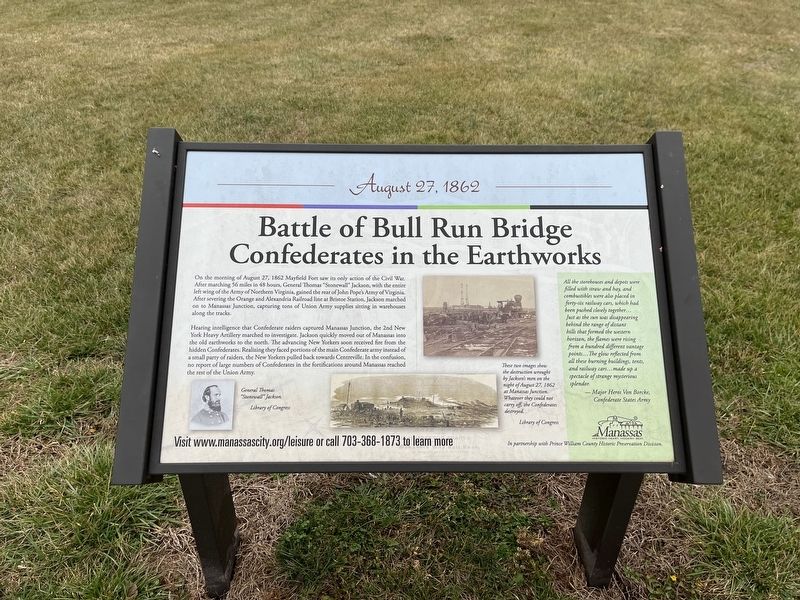
Battle of Bull Run Bridge
Confederates in the Earthworks
— August 27, 1862 —
On the morning of August 27, 1862 Mayfield Fort saw its only action of the Civil War. After marching 56 miles in 48 hours, General Thomas "Stonewall" Jackson, with the entire left wing of the Army of Northern Virginia, gained the rear of John Pope's Army of Virginia. After severing the Orange and Alexandria Railroad line at Bristoe Station, Jackson marched on to Manassas Junction, capturing tons of Union Army supplies sitting in warehouses along the tracks.
Hearing intelligence that Confederate raiders captured Manassas Junction, the 2nd New York Heavy Artillery marched to investigate. Jackson quickly moved out of Manassas into the old earthworks to the north. The advancing New Yorkers soon received fire from the hidden Confederates. Realizing they faced portions of the main Confederate army instead of a small party of raiders, the New Yorkers pulled back towards Centreville. In the confusion, no report of large numbers of Confederates in the fortifications around Manassas reached the rest of the Union Army.
All the storehouses and depots were filled with straw and hay, and combustibles were also placed in forty-six railway cars, which had been pushed closely together… Just as the sun was disappearing behind the range of distant hills that formed the western horizon, the flames were rising from a hundred different vantage points…The glow reflected from all these burning buildings, tents, and railway cars…made up a spectacle of strange mysterious splendor.
— Major Heros Von Borcke, Confederate States Army
[Caption:]
These two images show the destruction wrought by Jackson's men on the night of August 27, 1862 at Manassas Junction. Whatever they could not carry off, the Confederates destroyed.
Erected by City of Manassas, Virginia.
Topics and series. This historical marker is listed in these topic lists: Forts and Castles • Railroads & Streetcars • War, US Civil. In addition, it is included in the Orange and Alexandria Railroad series list. A significant historical date for this entry is August 27, 1862.
Location. 38° 45.229′ N, 77° 27.157′ W. Marker is in Manassas, Virginia. Marker can be reached from Battery Heights Boulevard south of Quarry Road when traveling south. Touch for map. Marker is at or near this postal address: 8401 Quarry Rd, Manassas VA 20110, United States of America. Touch for directions.
Other nearby markers. At least 8 other markers are within walking distance of this marker. A different marker also named Battle of Bull Run Bridge (here, next to this marker); Role of Mayfield in Battle of First Manassas (here, next to this marker); Casualties of Battle (here, next to this marker); Building the Fort System

Photographed By Devry Becker Jones (CC0), January 8, 2023
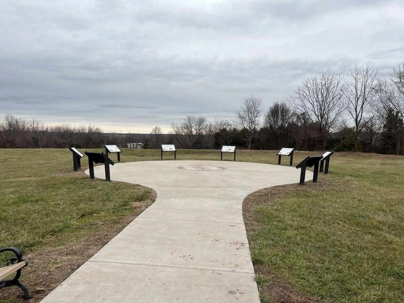
2. The markers on the grounds of Fort Mayfield
Credits. This page was last revised on January 8, 2023. It was originally submitted on January 8, 2023, by Devry Becker Jones of Washington, District of Columbia. This page has been viewed 199 times since then and 36 times this year. Photos: 1, 2. submitted on January 8, 2023, by Devry Becker Jones of Washington, District of Columbia.
