Manassas, Virginia — The American South (Mid-Atlantic)
Battle of Bull Run Bridge
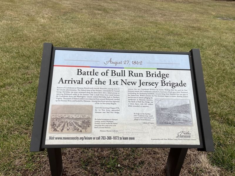
Arrival of the 1st New Jersey Brigade
— August 27, 1862 —
Rumors of Confederates at Manassas filtered north towards Alexandria, causing worry in the Lincoln administration. The Federal Army of the Potomac, commanded by General George McClellan was away, encamped along the James River after a failed attempt at capturing Richmond earlier in the summer. Only a small Union force stood between the Confederate Army and Washington. Lincoln ordered McClellan back to Northern Virginia. Thousands of Federal soldiers soon departed from around Richmond, traveled up the Potomac river, and headed for Manassas. Among these forces were four regiments of the 1st New Jersey Brigade.
Late in the morning of August 27th, the 1st New Jersey approached Manassas near Bull Run Bridge, unaware that two Confederate divisions lay nearby. Holding their fire until New Jerseyans neared, the Confederates unleased a hurricane of lead upon them. Positioned overlooking the developing battlefield, cannons firing from Mayfield Fort tore gaps in the Federal line. Within minutes the New Jerseyans began to retreat, allowing Jackson and his men to resume pillaging the warehouses at Manassas Junction. The Battle of Bull Run Bridge was a Union fiasco, with 445 soldiers killed, wounded, or captured.
[Captions:]
The Federal encampment at Harrison's Landing, outside of Richmond. President Lincoln recalled the Federal Army from these camps prior to the Battle of Second Manassas.
The bridge over the Bull Run where Confederate troops routed a portion of the Union Army in a prelude to Second Manassas.
Erected by City of Manassas, Virginia.
Topics. This historical marker is listed in this topic list: War, US Civil.
Location. 38° 45.227′ N, 77° 27.157′ W. Marker is in Manassas, Virginia. Marker can be reached from Battery Heights Boulevard south of Quarry Road, on the right when traveling north. Touch for map. Marker is at or near this postal address: 8401 Quarry Rd, Manassas VA 20110, United States of America. Touch for directions.
Other nearby markers. At least 8 other markers are within walking distance of this marker. Casualties of Battle (here, next to this marker); a different marker also named Battle of Bull Run Bridge (here, next to this marker); Preservation of Mayfield Fort (here, next to this marker); Role of Mayfield in Battle of First Manassas (here, next to this marker); Building the Fort System (a few steps from this marker); Camps of Instruction (a few steps from this marker); Why the Forts? (a few steps from this marker); Building Mayfield Fort (about 300 feet away, measured in a direct line). Touch for a list and map of all markers in Manassas.

Photographed By Devry Becker Jones (CC0), January 8, 2023
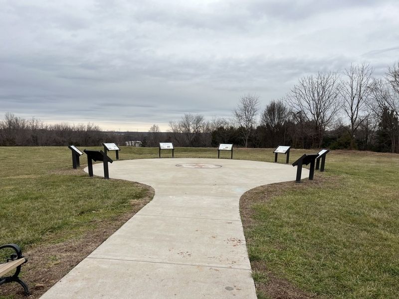
2. The markers on the grounds of Fort Mayfield
Credits. This page was last revised on April 7, 2023. It was originally submitted on January 8, 2023, by Devry Becker Jones of Washington, District of Columbia. This page has been viewed 165 times since then and 31 times this year. Photos: 1, 2. submitted on January 8, 2023, by Devry Becker Jones of Washington, District of Columbia.
