Lamar in Prowers County, Colorado — The American Mountains (Southwest)
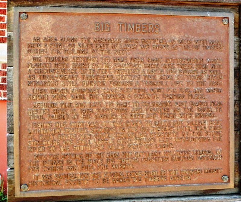
Big Timbers
An area along the Arkansas River bottoms, 45 miles westward from a point 20 miles east of Lamar was known as “The Big Timbers” during the “Building of the West.”
Big Timbers received its name from giant cottonwoods which flanked both banks of the Arkansas. These huge trees, some with a circumference of 18 feet, provided a haven for Indians as well as trail-weary travelers. Defying time, some of these river monarchs still survive forming a tangible link to the past.
Lush grass, abundant game, plentiful wood for fuel and wagon repair work made Big Timbers a favorite camping place.
Zebulon Pike, who gave his name to Colorado’s most famous Peak, rested here in 1806. Surveyors and traders on the Santa Fe Trail paused at Big Timbers to rest and trade with Indians.
Bent’s Old Fort was up the river 35 miles but William Bent maintained trading stations in the Big Timbers until 1853 when he built Bent’s New Fort. Crumbling remnants of the stone structure are still visible atop Squaw’s Leap overlooking the river to the south six miles west of Lamar.
With the opening of the area for settlers following removal of the Indians in the 1860’s Big Timbers furnished building materials for cabins and fuel for warmth.
It was natural for the museum, established by the Prowers County Historical Society to be named “Big Timbers Museum.”
Erected by Prowers County Historical Society.
Topics and series. This historical marker is listed in these topic lists: Exploration • Native Americans • Settlements & Settlers • Waterways & Vessels. In addition, it is included in the Santa Fe Trail series list. A significant historical year for this entry is 1806.
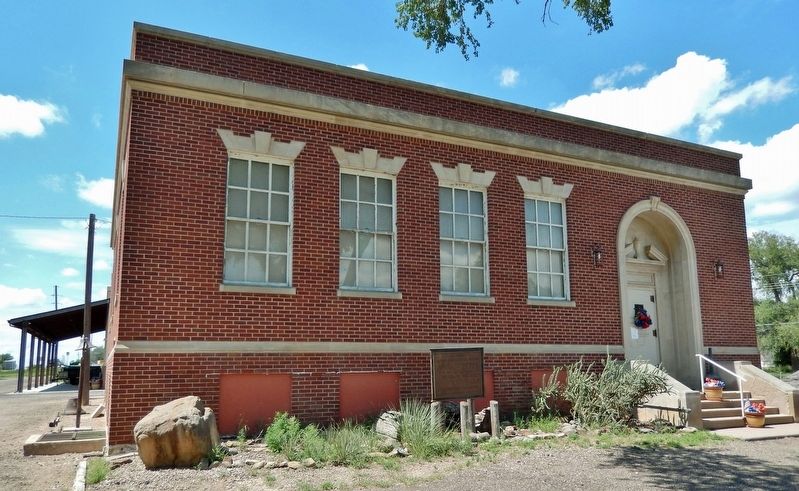
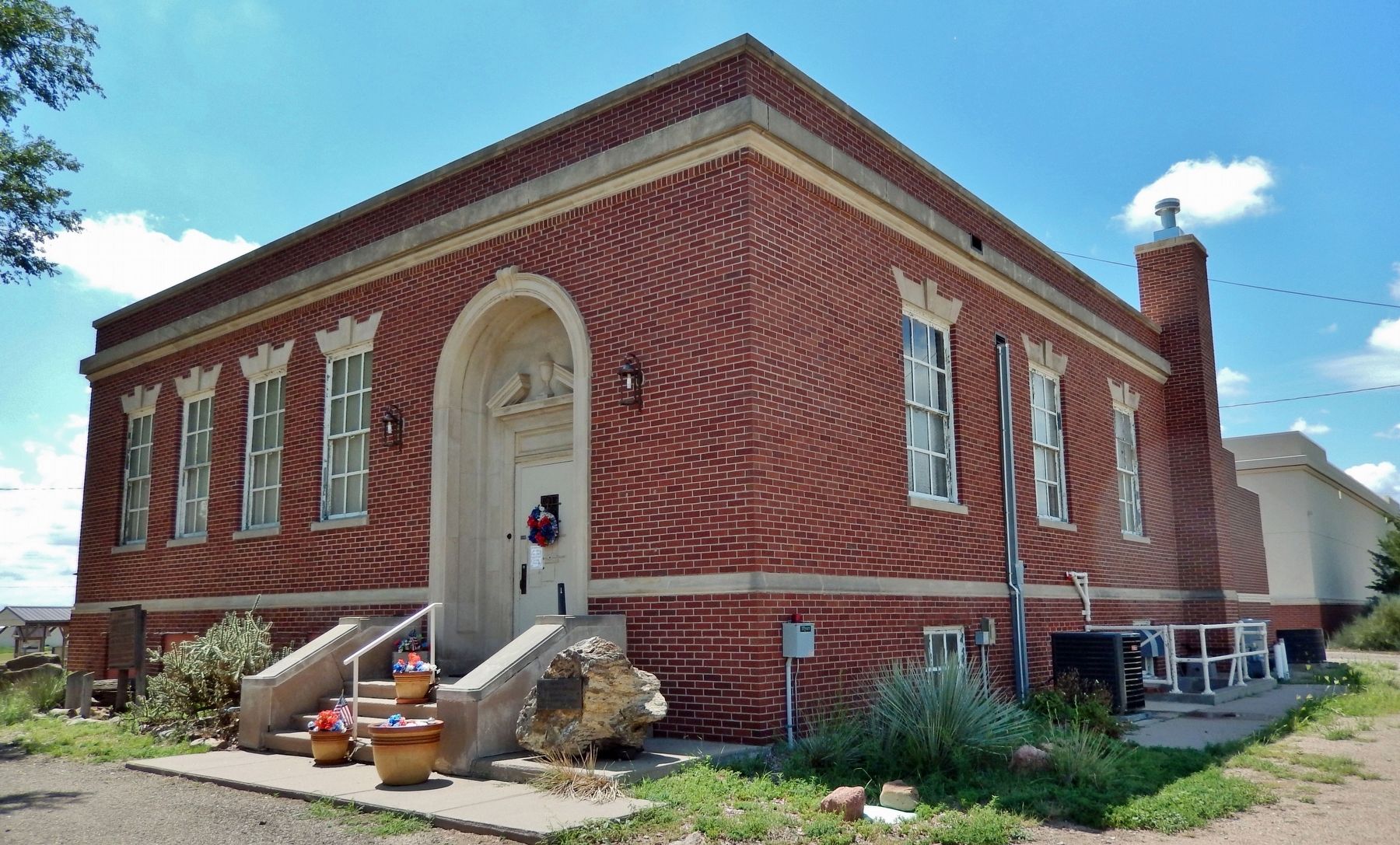
Location. 38° 6.95′ N, 102° 37.124′ W. Marker is in Lamar, Colorado, in Prowers County. Marker can be reached from the intersection of Scenic U.S. 50/287 and State Highway 196, on the left when traveling north. Marker is located on the east side of the Big Timbers Museum building. Touch for map. Marker is at or near this postal address: 7515 US-50 Scenic Highway, Lamar CO 81052, United States of America. Touch for directions.
Other nearby markers. At least 8 other markers are within 2 miles of this marker, measured as the crow flies. Iraqi Freedom Memorial (within shouting distance of this marker); Santa Fe Trail, 1821-1880 (within shouting distance of this marker); Big Timbers Museum Collection (within shouting distance of this marker); Explore Big Timbers Region (within shouting distance of this marker); Santa Fe Trail Scenic and Historic Byway (within shouting distance of this marker); a different marker also named Santa Fe Trail (within shouting distance
of this marker); Madonna of the Trail (within shouting distance of this marker); Lamar Railroad Depot (approx. 1.8 miles away). Touch for a list and map of all markers in Lamar.
Also see . . . Big Timbers. Wikipedia entry:
Big Timbers is a wooded riparian area in Colorado along both banks of the Arkansas River that is famous as a campsite for native American tribes and travelers on the Mountain Branch of the Santa Fe Trail. The Spanish knew this area as La Casa de Palo or the House of Wood, because wood was scarce along the banks of the Arkansas River except for that specific area. Cottonwood was the primary type of timber found there. At its greatest extent, Big Timbers may have stretched from the mouth of the Purgatoire to the present-day Kansas-Colorado border, a distance of 62 miles.(Submitted on January 8, 2023, by Cosmos Mariner of Cape Canaveral, Florida.)
Credits. This page was last revised on July 5, 2023. It was originally submitted on January 8, 2023, by Cosmos Mariner of Cape Canaveral, Florida. This page has been viewed 199 times since then and 55 times this year. Photos: 1, 2, 3. submitted on January 8, 2023, by Cosmos Mariner of Cape Canaveral, Florida.


