Conneaut in Ashtabula County, Ohio — The American Midwest (Great Lakes)
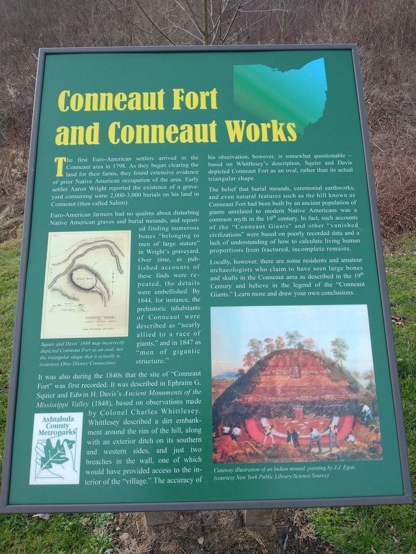
Conneaut Fort and Conneaut Works
The first Euro-American settlers arrived in the Conneaut area in 1798. As they began clearing the of prior Native American occupation of the area. Early settler Aaron Wright reported the existence of a graveyard containing some 2,000-3,000 burials on his land in Conneaut (then called Salem).
Euro-American farmers had no qualms about disturbing Native American graves and burial mounds, and reported finding numerous bones "belonging to men of large stature" in Wright's graveyard. Over time, as published accounts of these finds were repeated, the details were embellished. By 1844, for instance, the prehistoric inhabitants of Conneaut were described as "nearly allied to a race of giants," and in 1847 as "men of gigantic structure."
It was also during the 1840s that the site of "Conneaut Fort" was first recorded. It was described in Ephraim G. Squier and Edwin H. Davis's Ancient Monuments of the Mississippi Valley (1848), based on observations made by Colonel Charles Whittlesey. Whittlesey described a dirt embankment around the rim of the hill, along with an exterior ditch on its southern and western sides, and just two breaches in the wall, one of which would have provided access to the interior of the "village." The accuracy of his observation, however, is somewhat questionable - based on Whittlesey's description, Squier and Davis depicted Conneaut Fort as an oval, rather than its actual triangular shape.
The belief that burial mounds, ceremonial earthworks, and even natural features such as the hill known as Conneaut Fort had been built by an ancient population of giants unrelated to modern Native Americans was a common myth in the 19th century. In fact, such accounts of the "Conneaut Giants” and other "vanished civilizations” were based on poorly recorded data and a lack of understanding of how to calculate living human proportions from fractured, incomplete remains.
Locally, however, there are some residents and amateur archaeologists who claim to have seen large bones and skulls in the Conneaut area as described in the 19 Century and believe in the legend of the "Conneaut Giants." Learn more and draw your own conclusions.
Topics. This historical marker is listed in these topic lists: Forts and Castles • Native Americans. A significant historical year for this entry is 1798.
Location. 41° 56.21′ N, 80° 33.919′ W. Marker is in Conneaut, Ohio, in Ashtabula County. Marker is on Mill Road west of Welton Road, on the right when traveling west. Touch for map. Marker is at or near this postal address: 431 Mill Rd, Conneaut OH 44030, United States of America. Touch for directions.
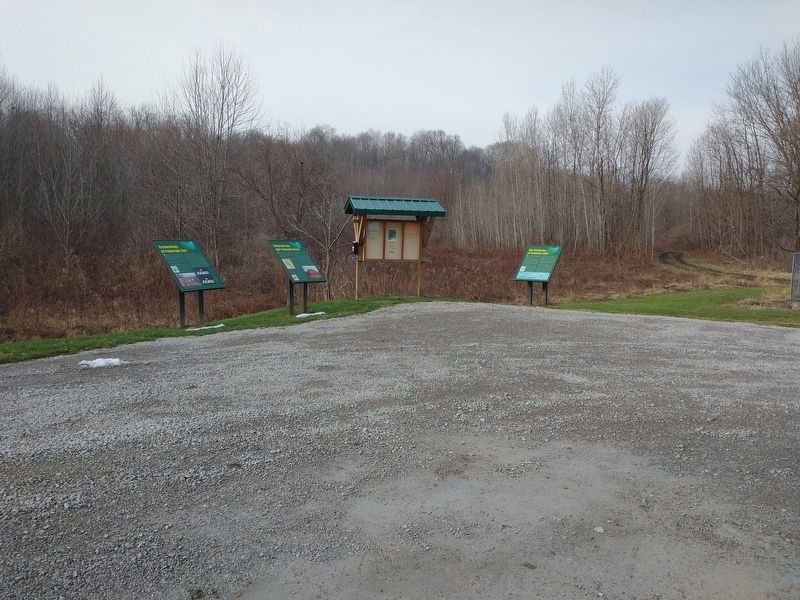
Other nearby markers. At least 8 other markers are within walking distance of this marker. Archaeology Of Conneaut Fort (here, next to this marker); The Prehistory of Northeast Ohio (here, next to this marker); Conneaut (approx. 0.3 miles away); Conneaut Veterans Memorial (approx. 0.6 miles away); Veterans Memorial (approx. 0.6 miles away); Western Reserve (approx. 0.6 miles away); Remembering Our Fallen Heroes (approx. 0.7 miles away); Conneaut Viaduct (approx. ¾ mile away). Touch for a list and map of all markers in Conneaut.
Credits. This page was last revised on January 20, 2023. It was originally submitted on January 12, 2023, by Craig Doda of Napoleon, Ohio. This page has been viewed 309 times since then and 122 times this year. Photos: 1, 2. submitted on January 12, 2023, by Craig Doda of Napoleon, Ohio. • Devry Becker Jones was the editor who published this page.

