North Arlington in Euless in Tarrant County, Texas — The American South (West South Central)
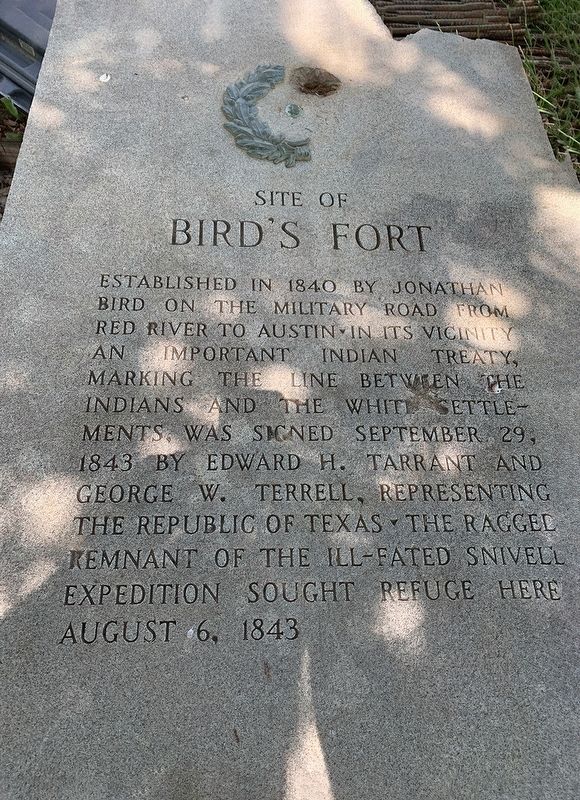
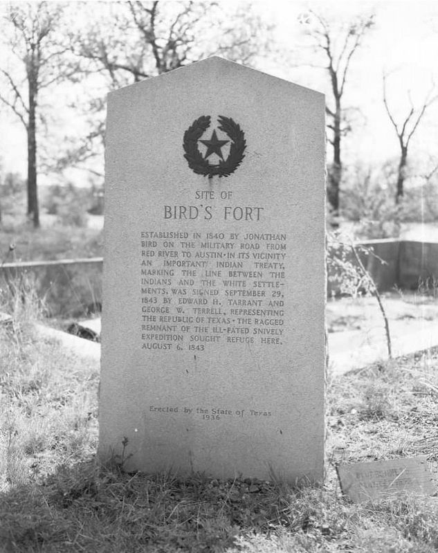
Site of Bird's Fort
Established in 1840 by Jonathan Bird on the Military Road from Red River to Austin. In its vicinity an important Indian treaty, marking the line between the Indians and the White settlements, was signed September 29, 1843 by Edward H. Tarrant and George W. Terrell, representing the Republic of Texas. The ragged remnant of the ill-fated Snivell Expedition sought refuge here August 6, 1843.
Erected 1936 by State of Texas. (Marker Number 4731.)
Topics and series. This historical marker is listed in these topic lists: Forts and Castles • Native Americans • Peace. In addition, it is included in the Texas 1936 Centennial Markers and Monuments series list. A significant historical date for this entry is September 29, 1843.
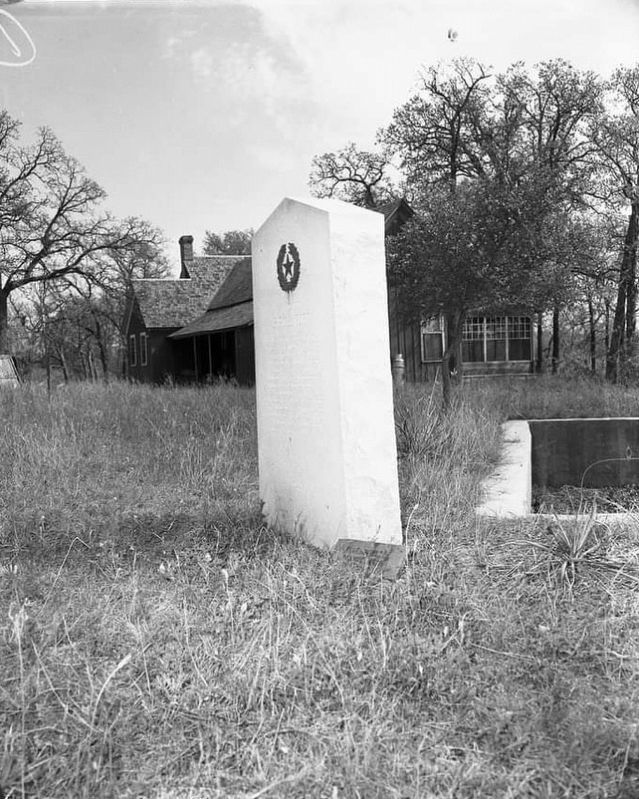
Location. Marker has been reported missing. It was located near 32° 48.029′ N, 97° 5.084′ W. Marker was in Euless, Texas, in Tarrant County. It was in North Arlington. Marker could be reached from Meadow Hawk Drive. Touch for map. Marker was in this post office area: Euless TX 76040, United States of America. Touch for directions.
Other nearby markers. At least 8 other markers are within 3 miles of this location, measured as the crow flies. Calloway Cemetery (approx. ¾ mile away); Sloan-Journey Expedition of 1838 (approx. 1.2 miles away); a different marker also named Site of Bird's Fort (approx. 1.2 miles away); Jesse Chisholm (approx. 1.2 miles away); Euless School (approx. 2 miles away); Commercial Horticulture in Euless (approx. 2 miles away); Saint John Missionary Baptist Church (approx. 2.3 miles away); Site of Mosier Valley School (approx. 2.4 miles away). Touch for a list and map of all markers in Euless.
Credits. This page was last revised on February 2, 2023. It was originally submitted on January 13, 2023. This page has been viewed 182 times since then and 43 times this year. Photos: 1, 2, 3. submitted on January 13, 2023. • J. Makali Bruton was the editor who published this page.


