Mackinaw City in Cheboygan County, Michigan — The American Midwest (Great Lakes)
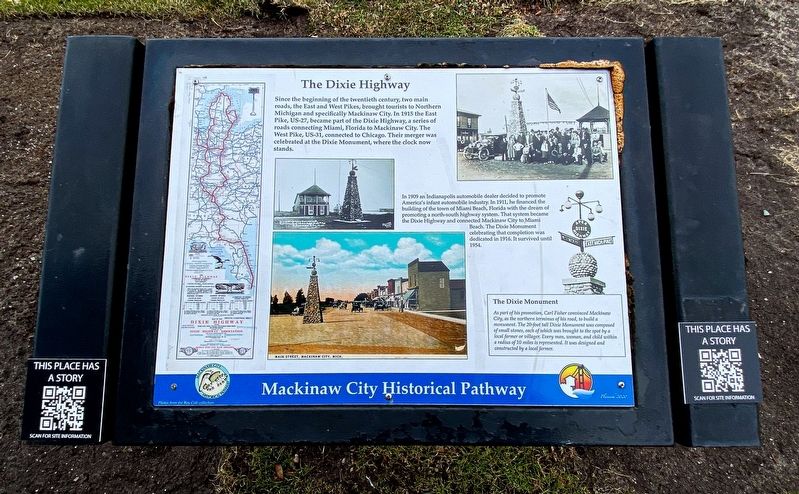
The Dixie Highway
Mackinaw City Historical Pathway
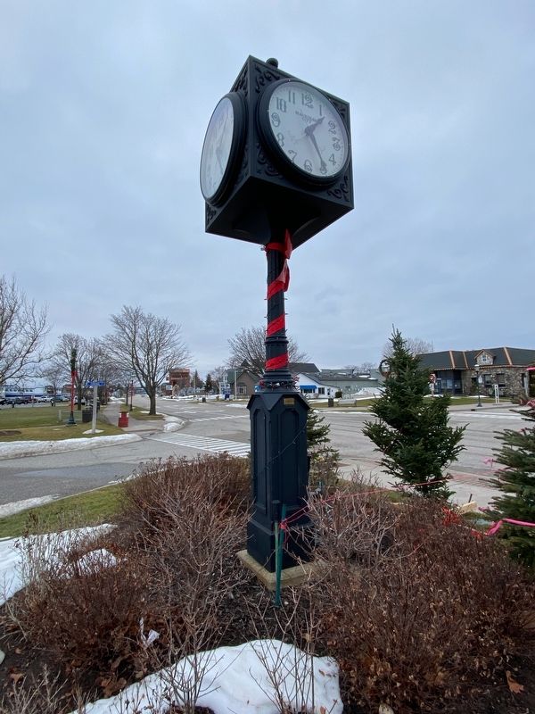
In 1909 an Indianapolis automobile dealer decided to promote America's infant automobile industry. In 1911, he financed the building of the town of Miami Beach, Florida with the dream of promoting a north-south highway system. That system became the Dixie Highway and connected Mackinaw City to Miami Beach. The Dixie Monument celebrating that completion was dedicated in 1916. It survived until 1954.
The Dixie Monument
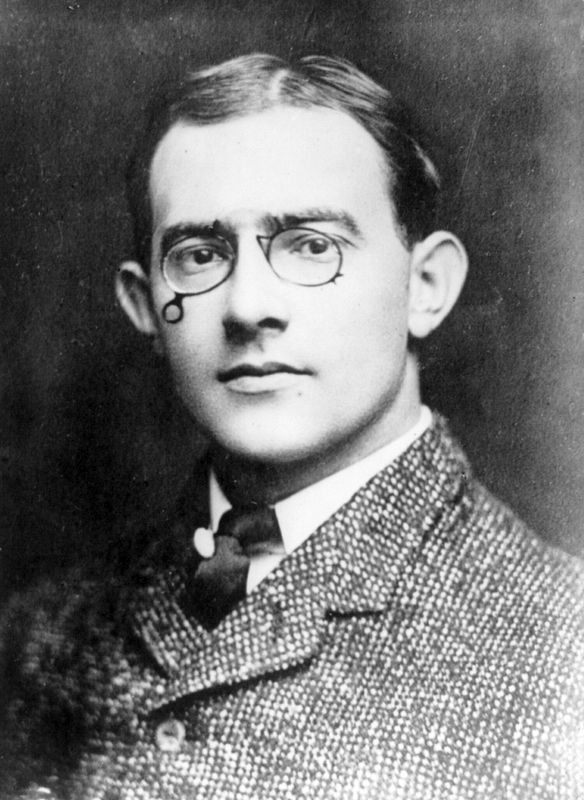
As part of his promotion, Carl Fisher convinced Mackinaw City, as the northern terminus of his road, to build a monument. The 20-foot tall Dixie Monument was composed of small stones, each of which was brought to the spot by a local farmer or villager. Every man, woman, and child within a radius of 10 miles is represented. It was designed and constructed by a local farmer.
Topics. This historical marker is listed in this topic list: Roads & Vehicles.
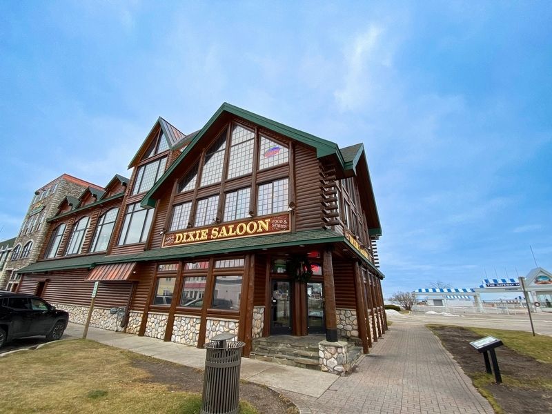
Location. 45° 46.9′ N, 84° 43.516′ W. Marker is in Mackinaw City, Michigan, in Cheboygan County. Marker is at the intersection of East Central Avenue and Langlade Street, on the right when traveling west on East Central Avenue. Marker is in front of the Dixie Saloon. Touch for map. Marker is at or near this postal address: 401 East Central Avenue, Mackinaw City MI 49701, United States of America. Touch for directions.
Other nearby markers. At least 8 other markers are within walking distance of this marker. A different marker also named The Dixie Highway (here, next to this marker); The Water Highway (a few steps from this marker); Historic Mackinaw City (within shouting distance of this marker); Mackinaw City (within shouting distance of this marker); Iron Horse (within shouting distance of this marker); Chief Wawatam (within shouting distance of this marker); The Algomah (within shouting distance of this marker); Mackinaw, Mackinac or Michilimackinac? (within shouting distance of this marker). Touch for a list and map of all markers in Mackinaw City.
Also see . . . Dixie Highway. Excerpt:
The Dixie Highway was inspired by the example of the slightly earlier Lincoln Highway, the first road across the United States. The prime booster of both projects was promoter and businessman Carl G. Fisher. It was overseen by the Dixie Highway Association and funded by a group of individuals, businesses, local governments, and states. In the early years, the U.S. federal government played little role, but from the early 1920s on it provided increasing funding until 1927. That year the Dixie Highway Association was disbanded and the highway was taken over by the federal government as part of the U.S. Route system, with some portions becoming state roads.(Submitted on January 13, 2023, by J.T. Lambrou of New Boston, Michigan.)
Credits. This page was last revised on January 16, 2023. It was originally submitted on January 13, 2023, by J.T. Lambrou of New Boston, Michigan. This page has been viewed 103 times since then and 24 times this year. Photos: 1, 2, 3, 4. submitted on January 13, 2023, by J.T. Lambrou of New Boston, Michigan. • J. Makali Bruton was the editor who published this page.


