Springfield in Bon Homme County, South Dakota — The American Midwest (Upper Plains)
Lewis and Clark / Springfield
— Lewis and Clark National Historical Trail —
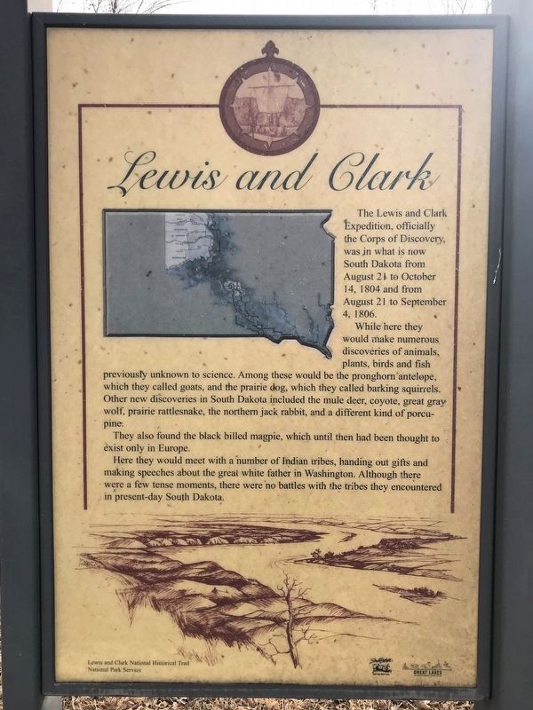
Lewis and Clark
The Lewis and Clark Expedition, officially the Corps of Discovery, was in what is now South Dakota from August 21 to October 14, 1804 and from August 21 to September 4, 1806.
While here they would make numerous discoveries of animals, plants, birds and fish previously unknown to science. Among these would be the pronghorn antelope, which they called goats, and the prairie dog, which they called barking squirrels. Other new discoveries in South Dakota included the mule deer, coyote, great gray wolf, prairie rattlesnake, the northern jack rabbit, and a different kind of porcupine.
They also found the black billed magpie, which until then had been thought to exist only in Europe.
Here they would meet with a number of Indian tribes, handing out gifts and making speeches about the great white father in Washington. Although there were a few tense moments, there were no battles with the tribes they encountered in present-day South Dakota.
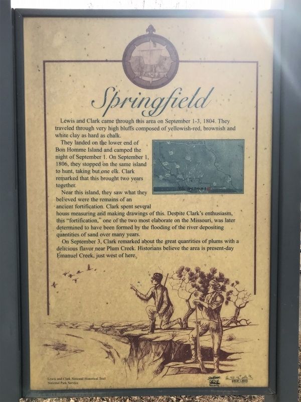
Springfield
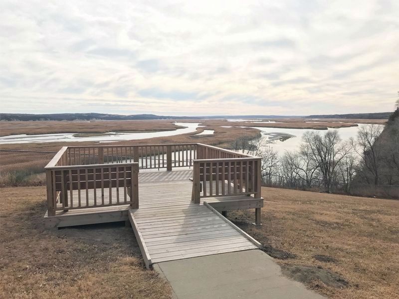
Lewis and Clark came through this area on September 1-3, 1804. They traveled through very high bluffs composed of yellowish-red, brownish and white clay as hard as chalk.
They landed on the lower end of Bon Homme Island and camped the night of September 1. On September 1, 1806, they stopped on the same island to hunt, taking but one elk. Clark remarked that this brought two years together.
Near this island, they saw what they believed were the remains of an ancient fortification. Clark spent several hours measuring and making drawings of this. Despite Clark's enthusiasm, this "fortification," one of the two most elaborate on the Missouri, was later determined to have been formed by the flooding of the river depositing quantities of sand over many years.
On September 3, Clark remarked about the great quantities of plums with a delicious flavor near Plum Creek. Historians believe the area is present-day Emanuel Creek, just west of here.
Erected by National Park Service.
Topics and series. This historical marker is listed in these topic lists: Exploration • Waterways & Vessels. In addition, it is included in the Lewis & Clark Expedition series list. A significant historical date for this entry is September 1, 1804.
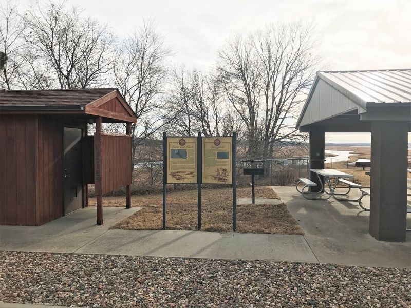
Location. 42° 51.055′ N, 97° 53.539′ W. Marker is in Springfield, South Dakota, in Bon Homme County. Marker is at the intersection of Walnut Avenue and 5th Street on Walnut Avenue. Located in Terrace Park in Springfield. Touch for map. Marker is in this post office area: Springfield SD 57062, United States of America. Touch for directions.
Other nearby markers. At least 8 other markers are within 10 miles of this marker, measured as the crow flies. Springfield Veterans Memorial (a few steps from this marker); Graves of Ogden Marsh and Addie L. Marsh (about 400 feet away, measured in a direct line); Veteran's Memorial Plaza (approx. 0.3 miles away); Replica First Schoolhouse (approx. 6.8 miles away); First School in Dakota Territory Monument (approx. 6.8 miles away); Tyndall Veterans Memorial Park (approx. 9.3 miles away); The Sage Brothers (approx. 9.9 miles away in Nebraska); Life After the Expedition (approx. 10 miles away in Nebraska). Touch for a list and map of all markers in Springfield.
Credits. This page was last revised on January 15, 2023. It was originally submitted on January 13, 2023. This page has been viewed 130 times since then and 18 times this year. Photos: 1, 2, 3, 4. submitted on January 13, 2023.


