Near Satartia in Yazoo County, Mississippi — The American South (East South Central)
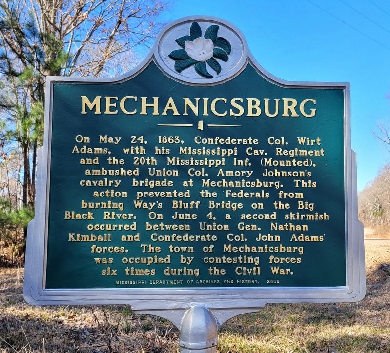
Mechanicsburg
Erected 2009 by Mississippi Department of Archives and History.
Topics. This historical marker is listed in this topic list: War, US Civil. A significant historical date for this entry is May 24, 1863.
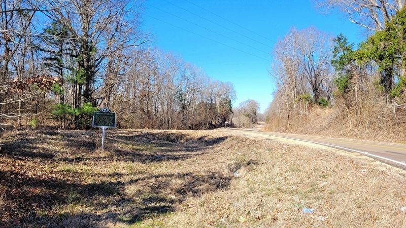
Location. 32° 38.19′ N, 90° 30.835′ W. Marker is near Satartia, Mississippi, in Yazoo County. Marker is at the intersection of State Highway 433 and Mechanicsburg Road, on the right when traveling east on State Highway 433. The marker is located along the south side of the highway at the intersection. Touch for map. Marker is in this post office area: Bentonia MS 39040, United States of America. Touch for directions.
Other nearby markers. At least 7 other markers are within 15 miles of this marker, measured as the crow flies. Nehemiah “Skip” James (approx. 8.2 miles away); The Blue Front Café (approx. 8.7 miles away); Tinsley Oil Field (approx. 9½ miles away); Skirmish at Concord Baptist Church (approx. 9.6 miles away); Jack Owens (approx. 9.8 miles away); Stone Fence Posts Mid-Western Kansas 1880’s (approx. 13.9 miles away); Confederate Navy Yard (approx. 14½ miles away).
Credits. This page was last revised on January 14, 2023. It was originally submitted on January 14, 2023, by James Hulse of Medina, Texas. This page has been viewed 193 times since then and 55 times this year. Photos: 1, 2. submitted on January 14, 2023, by James Hulse of Medina, Texas.

