Iron Hill Park near Newark in New Castle County, Delaware — The American Northeast (Mid-Atlantic)
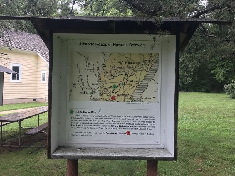
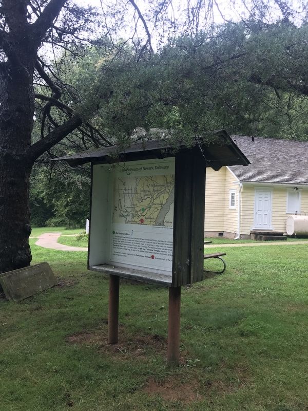
Historic Roads of Newark, Delaware / Petrified Log from Central Delaware
Inscription.
The Old Baltimore Pike was built before 1720 and connected Elkton, Maryland to Christiana. It followed the path of an east-west Indian trail over the south side of Iron Hill. When settlers arrived, (the Welsh iron miners of the Welsh Tract, for example), a new road was needed to transport products between Cecil County and Christiana. The improved road was known as the Post Road. It was later a turnpike called the Elk and Christiana Turnpike between 1817 and 1838, which was 7 miles long. To pay for its upkeep, tolls were collected at Cooch's Bridge. It reverted to a public road once the Frenchtown Railroad diverted much of the business transport activities.
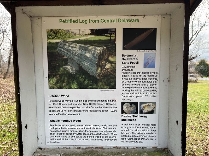
Petrified wood may be found in pits and stream banks in northern Kent County and southern New Castle County, Delaware. The central Delaware petrified wood is from either the Miocene epoch (5 to 25 million years ago) or the Pleistocene epoch (10,000 years to 2 million years ago.)
What is Petrified Wood
Petrified wood is a fossil, formed where porous, sandy layers lie on layers that contain abundant fossil diatoms. Diatoms are microscopic shells made of silica, the same compound as opals. The silica is dissolved by water passing through the sand. When this water flows to and soaks the buried wood, it can recrystallize and fill the pores in the wood. This process takes a very long time.
Belamnite, Delaware's State Fossil
Belemnitella americana
An extinct order of mollusks most closely related to the squid as it had an internal shell covered by a leathery skin, tentacles that pointed forward and a siphon that expelled water forward thus moving the animal backward by jet propulsion. It lived in the late Cretaceous period 70 million years ago.
Bivalve Steinkerns and Molds
A steinkern is an internal mold or a type of fossil formed when a shell fills with mud that later hardens. The external molds of shells are also commonly fossilized. Cretaceous Period, 65 to 85 million years old.
Topics. This historical marker is listed in these topic lists: Colonial Era • Industry & Commerce • Paleontology • Roads & Vehicles. A significant historical year for this entry is 1720.
Location. 39° 37.891′ N, 75° 45.477′ W. Marker is near Newark, Delaware, in New Castle County. It is in Iron Hill Park. Marker can be reached from South Old Baltimore Pike. Touch for map. Marker is at or near this postal address: 1355 S Old Baltimore Pike, Newark DE 19702, United States of America. Touch for directions.
Other nearby markers. At least 8 other markers are within

Photographed By Devry Becker Jones (CC0), December 30, 2023
2. Petrified Log from Central Delaware side of the marker
Credits. This page was last revised on December 31, 2023. It was originally submitted on January 16, 2023, by Adam Margolis of Mission Viejo, California. This page has been viewed 128 times since then and 37 times this year. Photos: 1. submitted on January 16, 2023, by Adam Margolis of Mission Viejo, California. 2. submitted on December 30, 2023, by Devry Becker Jones of Washington, District of Columbia. 3. submitted on January 16, 2023, by Adam Margolis of Mission Viejo, California. • Bill Pfingsten was the editor who published this page.

