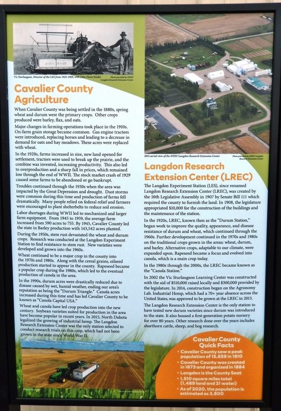
Langdon in Cavalier County, North Dakota — The American Midwest (Upper Plains)
Cavalier County Agriculture
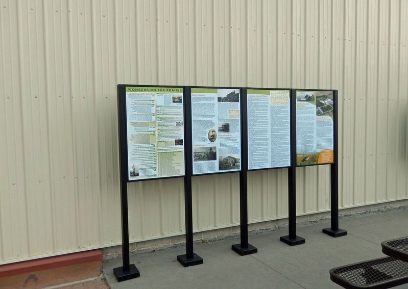
Pioneers on the Prairie
When Cavalier County was being settled in the 1880s, spring wheat and durum were the primary crops. Other crops produced were barley, flax, and oats.
Major changes in farming operations took place in the 1910s. On-farm grain storage became common. Gas engine tractors were introduced, replacing horses and leading to a decrease in demand for oats and hay meadows. These acres were replaced with wheat.
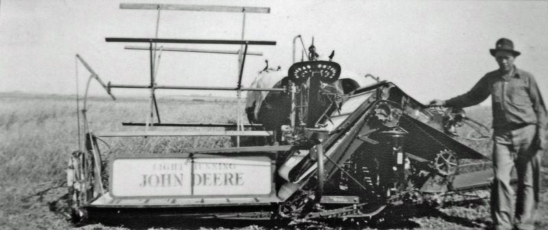
In the 1920s, farms increased in size, new land opened for settlement, tractors were used to break up the prairie, and the combine was invented, increasing productivity. This also led to overproduction and a sharp fall in prices, which remained low through the end of WWII. The stock market crash of 1929 caused some farms to be abandoned or go bankrupt.
Troubles continued through the 1930s when the area was impacted by the Great Depression and drought. Dust storms were common during this time and production of farms fell dramatically. Many people relied on federal relief and farmers were encouraged to plant shelterbelts to reduce soil erosion.
Labor shortages during WWII led to mechanized and larger farm equipment. From 1945 to 1959, the average farm increased from 590 acres to 755. By 1945, Cavalier County led the state in Barley production with 143,542 acres planted.
During the 1950s, stem rust devastated the wheat and durum crops. Research was conducted at the Langdon Experiment Station to find resistance to stem rust. New varieties were developed and grown into the 1960s.
Wheat continued to be a major crop in the county into the 1970s and 1980s. Along with the cereal grains, oilseed production started to appear in the county. Rapeseed became a popular crop during the 1980s, which led to the eventual production of canola in the area.
In the 1990s, durum acres were drastically reduced due to disease caused by wet, humid weather, ending our area's reputation as being the "Durum Triangle." Canola acres increased during this time and has led Cavalier County to be known as "Canola Capital USA."
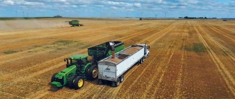
Wheat and canola have led crop production into the new century. Soybean varieties suited for production in the area have become popular in recent years. In 2015, North Dakota legalized the growing of industrial hemp. The Langdon Research Extension Center was the only station selected to conduct research trials on this crop, which had not been grown in the state since World War II.
In 1908, the legislature appropriated $10,000 for the construction of the buildings and the maintenance of the station.
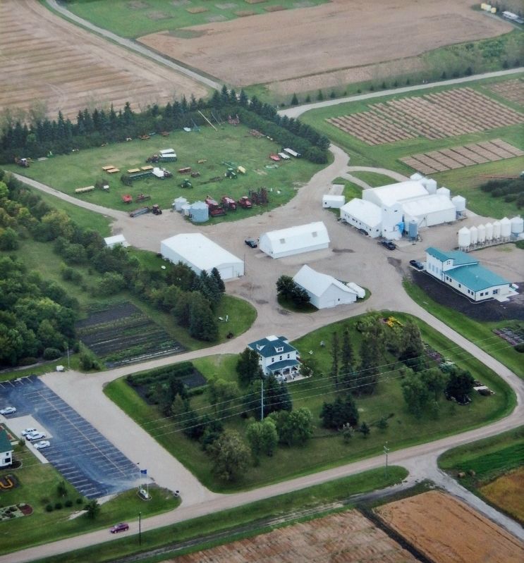
In the 1920s, LREC, known then as the "Durum Station," began work to improve the quality, appearance, and disease resistance of durum and wheat, which continued through the 1960s. Further development continued in the 1970s and 1980s on the traditional crops grown in the areas: wheat, durum, and barley. Alternative crops, adaptable to our climate, were expanded upon. Rapeseed became a focus and evolved into canola, which is a main crop today.
In the 1980s through the 2000s, the LREC became known as the "Canola Station."
In 2002 the Vic Sturlaugson Learning Center was constructed with the aid of $510,000 raised locally and $300,000 provided by the legislature. In 2014, construction began on the Agronomy Lab. Industrial Hemp, which had a 70+ year absence across the United States, was approved to be grown at the LREC in 2015.
The Langdon Research Extension Center is the only station to have tested new durum varieties since durum was introduced to the state. It also housed a first-generation potato nursery for over 80 years. Other research done over the years includes shorthorn cattle, sheep, and hog research.
•
Cavalier County was created in 1873 and organized in 1884
• Langdon is the County Seat
• 1,510 square miles total (1,489 land and 21 water)
• As of 2020, the population is estimated as 3,800
Topics. This historical marker is listed in these topic lists: Agriculture • Industry & Commerce • Science & Medicine • Settlements & Settlers.
Location. 48° 45.623′ N, 98° 22.076′ W. Marker is in Langdon, North Dakota, in Cavalier County. Marker is at the intersection of 8th Avenue and 3rd Street, on the right when traveling west on 8th Avenue. Marker is located in Boyd Block Plaza. Touch for map. Marker is at or near this postal address: 801 3rd Street, Langdon ND 58249, United States of America. Touch for directions.
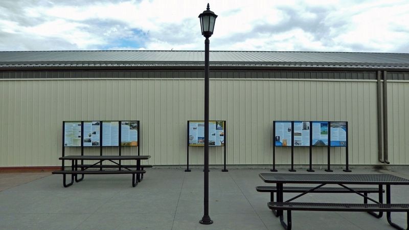
Other nearby markers. At least 8 other markers are within walking distance of this marker. Cavalier County Places (here, next to this marker); Early History (here, next to this marker); Cavalier County Timeline (here, next to this marker); Progress on the Prairie (here, next to this marker); Safeguard (here, next to this marker); Construction, System Components, and Deployment (here, next to this marker); Scenarios of an Intercontinental Missile (ICBM) Attack (here, next to this marker); Local Impact (here, next to this marker). Touch for a list and map of all markers in Langdon.
Related markers. Click here for a list of markers that are related to this marker.
Credits. This page was last revised on January 17, 2023. It was originally submitted on January 16, 2023, by Cosmos Mariner of Cape Canaveral, Florida. This page has been viewed 107 times since then and 22 times this year. Photos: 1, 2, 3, 4, 5, 6. submitted on January 17, 2023, by Cosmos Mariner of Cape Canaveral, Florida.
