Conneaut in Ashtabula County, Ohio — The American Midwest (Great Lakes)
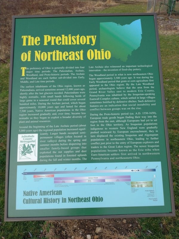
The Prehistory of Northeast Ohio
The prehistory of Ohio is generally divided into four major time periods: The Paleoindian, Archaic, Woodland, and Proto-historic periods. The Archaic and Woodland are each further sub-divided into Early, Middle, and Late time periods.
The earliest inhabitants of the Ohio region, known as Paleoindians, arrived sometime around 12,000 years ago, shortly after the last glaciers receded. Paleoindians were highly nomadic, with small bands following herds of large game in a seasonal round that could cover several hundred miles. During the Archaic period, which began approximately 10,000 years ago and lasted for about 7,500 years, Native American populations in the Ohio region increased gradually and, over time, became less nomadic as they began to exploit a broader diversity of plant and animal resources.
Around the beginning of the Late Archaic period (about 5,000 years ago) the regional population increased significantly. Larger bands occupied semi-permanent villages (often located in Metroparks river valleys) during the spring and summer months before dispersing into smaller family-based groups that exploited the nut supplies and deer populations found in forested uplands during the fall and winter months. The Late Archaic also witnessed an important technological innovation - the invention of fired-clay pottery.
The Woodland period in what is now northeastern Ohio began approximately 2,500 years ago. It was during the Early Woodland period that grain or corn agriculture first appeared in the Ohio region. By the Late Woodland period, archaeologists believe that the area from the Grand River Valley east to modern Erie County, Pennsylvania was inhabited by the Iroquoian-speaking Eastwall Complex culture, which settled in large villages sometimes fortified by defensive ditches. Such defensive features are an indication that social instability and conflict between groups was on the rise.
During the Proto-historic period (ca. A.D. 1550-1650), European trade goods began finding their way into the region from the east, although Europeans had yet to set foot in the Ohio territory. As Iroquoian populations indigenous to western New England were gradually pushed westward by European encroachment, they in turn displaced the existing Iroquoian and Algonquian populations in northeastern Ohio, leading to further conflict just prior to the entry of European explorers and traders to the Great Lakes region. The newer Iroquoian populations became known as the Erie tribe when. Euro-American settlers first arrived in northwestern Pennsylvania and northeastern Ohio.
Topics. This historical marker is listed in these topic lists: Anthropology & Archaeology • Industry & Commerce • Native Americans. A significant historical year for this entry is 1550.
Location. 41° 56.212′ N, 80° 33.919′ W. Marker is in Conneaut, Ohio, in Ashtabula County. Marker is on Mill Road west of Welton Road, on the right when traveling west. Touch for map. Marker is at or near this postal address: 431 Mill Rd, Conneaut OH 44030, United States of America. Touch for directions.
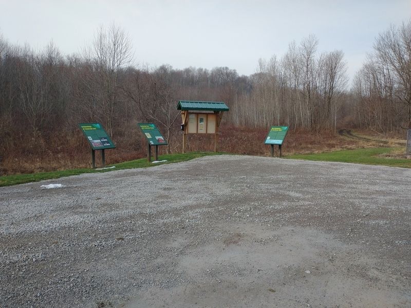
Other nearby markers. At least 8 other markers are within walking distance of this marker. Conneaut Fort and Conneaut Works (here, next to this marker); Archaeology Of Conneaut Fort (here, next to this marker); Conneaut (approx. 0.3 miles away); Conneaut Veterans Memorial (approx. 0.6 miles away); Veterans Memorial (approx. 0.6 miles away); Western Reserve (approx. 0.6 miles away); Remembering Our Fallen Heroes (approx. 0.7 miles away); Conneaut Viaduct (approx. ¾ mile away). Touch for a list and map of all markers in Conneaut.
Credits. This page was last revised on February 6, 2023. It was originally submitted on January 12, 2023, by Craig Doda of Napoleon, Ohio. This page has been viewed 79 times since then and 10 times this year. Last updated on January 20, 2023, by Bradley Owen of Morgantown, West Virginia. Photos: 1, 2. submitted on January 12, 2023, by Craig Doda of Napoleon, Ohio. • J. Makali Bruton was the editor who published this page.

