Main/Military Plaza in San Antonio in Bexar County, Texas — The American South (West South Central)
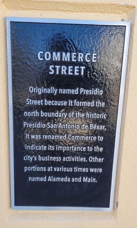
Commerce Street
Photographed by James Hulse, January 8, 2023
1. Commerce Street Marker
Erected 2022 by San Pedro Creek Cultural Park.
Topics. This historical marker is listed in this topic list: Roads & Vehicles.
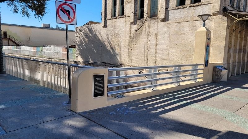
Location. 29° 25.505′ N, 98° 29.778′ W. Marker is in San Antonio, Texas, in Bexar County. It is in Main/Military Plaza. It is at the intersection of West Commerce Street and Camaron Street, on the left when traveling west on West Commerce Street. The marker is located on the south side of the bridge. Touch for map. Marker is at or near this postal address: 320 West Commerce Street, San Antonio TX 78205, United States of America. Touch for directions.

Regionally, this marker is in South Texas. It is also in the American South. Globally, it is in North America, a Gulf of Mexico state, the Western Hemisphere, the Western World, and the Anglosphere. Historically, it finds itself in what was once New Spain, the Republic of Texas, and one of the Confederate States of America.
Other nearby markers. At least 8 other markers are within walking distance of this marker: The Mexican Revolution (a few steps from this marker); The New Blossoming of San Pedro Creek (a few steps from this marker); Plaza de Armas: Center of Commerce and Government (a few steps from this marker); The Buried Past is Never Lost (within shouting distance of this marker); Spanish Governor's Palace (within shouting distance of this marker); The Healing Arts West of the Creek (about 300 feet away, measured in a direct line); Dolorosa Street (about 300 feet away); A Poor Settlement Takes Shape at the Northern Frontier of New Spain
this page online
Also see . . . Where beauty meets purpose. San Pedro Creek Culture Park (Submitted on January 21, 2023, by James Hulse of Medina, Texas.)
Photographed by James Hulse, January 8, 2023
2. The view of the Commerce Street Marker on the bridge
Credits. This page was last revised on April 7, 2023. It was originally submitted on January 20, 2023, by James Hulse of Medina, Texas. This page has been viewed 491 times since then and 40 times this year. Photos: 1, 2. submitted on January 21, 2023, by James Hulse of Medina, Texas.
