Purcellville in Loudoun County, Virginia — The American South (Mid-Atlantic)
Washington & Old Dominion Railroad Regional Park

By Devry Becker Jones (CC0), January 21, 2023
1. Washington & Old Dominion Railroad Regional Park Marker
The 100-foot-wide Washington & Old Dominion Railroad Regional Park (W&OD Trail) features a 45-mile asphalt trail for walking, running, skating, bicycling and other activities and a 33-mile, parallel, gravel bridle path for horseback riding and hiking. The W&OD Trail traverses the Piedmont between the Potomac River and the Blue Ridge Mountains creating a recreation corridor extending from the Virginia suburb of Arlington to the farming areas of western Loudoun County.
The W&OD Trail takes its name from the railroad whose trains ran along the right-of-way from 1859 until 1968. Never very successful, the railroad's demise was hastened by the improved road system and increased number of motor vehicles.
Erected by NOVA Parks.
Topics and series. This historical marker is listed in these topic lists: Parks & Recreational Areas • Railroads & Streetcars. In addition, it is included in the NOVA Parks, and the Washington and Old Dominion (W&OD) Railroad series lists. A significant historical year for this entry is 1859.
Location. 39° 8.31′ N, 77° 42.891′ W. Marker is in Purcellville, Virginia, in Loudoun County. It is
this page online

Regionally, this marker is in the Washington Metropolitan Area and in Northern Virginia. It is also in the American South, specifically in the Upper South, and in the Mid-Atlantic. Globally, it is in North America, the Western Hemisphere, the Western World, and the Anglosphere. Historically, it finds itself in what was once the territory of the Mississippian Culture, one of the original Thirteen Colonies, one of the Confederate States of America, and the Antebellum South.
Other nearby markers. At least 8 other markers are within walking distance of this marker: Killed in Action Memorial (within shouting distance of this marker); A Little History (about 300 feet away, measured in a direct line); Purcellville Station (about 400 feet away); Beyond Purcellville (about 400 feet away); Tracks into History (about 500 feet away); The Case Building (about
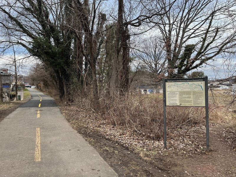
By Devry Becker Jones (CC0), January 21, 2023
2. Washington & Old Dominion Railroad Regional Park Marker
Another marker is no longer nearby. Ambush at Purcellville (was approx. 0.6 miles away but has been replaced with another marker now near it).
Credits. This page was last revised on January 21, 2023. It was originally submitted on January 21, 2023, by Devry Becker Jones of Washington, District of Columbia. This page has been viewed 233 times since then and 28 times this year. Photos: 1, 2. submitted on January 21, 2023, by Devry Becker Jones of Washington, District of Columbia.
