Waterford in Loudoun County, Virginia — The American South (Mid-Atlantic)
Bond Street Barn, Waterford
Loudoun County Barn Quilt Trail
— A Self-Guided Trail of Rural Treasures —
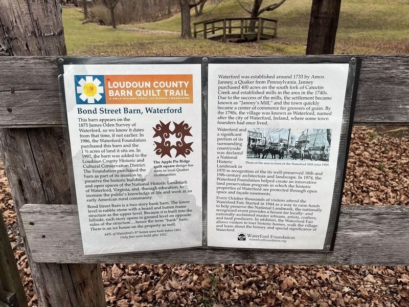
This barn appears on the 1875 James Oden Survey of Waterford, so we know it dates from that time, if not earlier. In 1986, the Waterford Foundation purchased this barn and the 1 ½ acres of land it sits on. In 1992, the barn was added to the Loudoun County Historic and Cultural Conservation District. The Foundation purchased the barn as part of its mission to preserve the historic buildings and open spaces of the National Historic Landmark of Waterford, Virginia, and, through education, to increase the public's knowledge of life and work in an early American community.
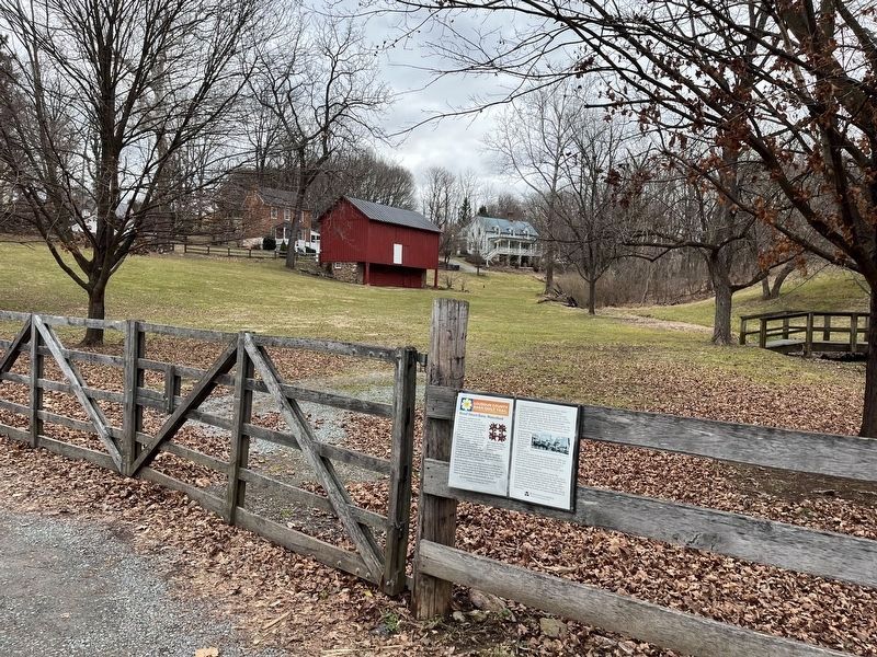
Bond Street Barn is a two story bank barn. The lower level is rubble stone with a board and batten frame structure as the upper level. Because it is built into the hillside, each story opens to ground level on opposite sides of the structure....hence the term "bank" barn. There is an ice house on the property as well.
Only four were built after 1922
Waterford was established around 1733 by Amos Janney, a Quaker from Pennsylvania. Janney purchased 400 acres on the south ford of Catoctin Creek and established mills in the area in the 1740s. Due to the success of the mills, the settlement became known as "Janney's Mill," and the town quickly became a center of commerce for growers of grain. By the 1790s, the village was known as Waterford, named after the city of Waterford, Ireland, where some town founders had once lived.
Waterford and a significant portion of its countryside was declared a National Historic Landmark in 1970 in recognition of its well-preserved 18th and 19th-century architecture and landscape. In 1974, the Waterford Foundation helped create a innovative land preservation program in which the historic properties of Waterford are protected through open space and façade easements.
Every October thousands of visitors attend the Waterford Fair. Started in 1944 as a way to raise funds to help preserve the National Landmark, the nationally recognized event provides a forum for locally- and nationally-acclaimed master artisans, artists, crafters, and food producers. In addition, the Waterford Fair allows visitors to tour historic homes, walk the village and learn the history and special significance of Waterford.
[Caption:]
The Apple Pie Ridge quilt square design has roots in local Quaker communities
Erected by Waterford Foundation, Inc.
Topics and series. This historical marker is listed in these topic lists: Agriculture • Anthropology & Archaeology
Location. 39° 11.405′ N, 77° 36.795′ W. Marker is in Waterford, Virginia, in Loudoun County. Marker is on Main Street (Virginia Route 662/698) east of Bond Street, on the right when traveling west. Touch for map. Marker is at or near this postal address: 40125 Main St, Waterford VA 20197, United States of America. Touch for directions.
Other nearby markers. At least 8 other markers are within walking distance of this marker. Independent Loudoun Virginia Rangers (a few steps from this marker); Waterford (within shouting distance of this marker); Waterford - An Old Mill Town (about 300 feet away, measured in a direct line); The Waterford Mill (about 300 feet away); How it Works (about 300 feet away); Mutual Fire Insurance Company of Loudoun County (about 800 feet away); Mill to Market (approx. ¼ mile away); The Phillips Farm (approx. ¼ mile away). Touch for a list and map of all markers in Waterford.
Credits. This page was last revised on January 21, 2023. It was originally submitted on January 21, 2023, by Devry Becker Jones of Washington, District of Columbia. This page has been viewed 123 times since then and 21 times this year. Photos: 1, 2. submitted on January 21, 2023, by Devry Becker Jones of Washington, District of Columbia.

