Sand Springs in Tulsa County, Oklahoma — The American South (West South Central)
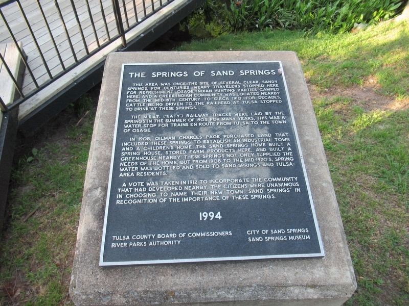
The Springs of Sand Springs
This area was once the site of several clear, sandy springs, for centuries, weary travelers stopped here for refreshment. Osage Indian hunting parties camped here, and a Creek Indian community was located nearby from the mid-19th century to circa 1910. For decades, cattle being driven to the railhead at Tulsa stopped to drink at these springs.
The M.K.&T. ("Katy") railway tracks were laid by the springs in the summer of 1903. For many years, this was a water stop for trains en route from Tulsa to the town of Osage.
In 1908, oilman Charles Page purchased land that included these springs to establish an industrial town and a children's home. The Sand Springs Home built a spring house, stored farm products here, and built a greenhouse hereby. These springs not only supplied the needs of the home, but from 1908 to the mid-1920's, spring water was bottled and sold to Sand Springs and Tulsa area residents.
A vote was taken in 1912 to incorporate the community that had developed nearby. The citizens were unanimous in choosing to name their new town "Sand Springs" in recognition of the importance of these springs.
1994
Tulsa County Board of Commissioners, City of Sand Springs, River Parks Authority, Sand Springs Museum.
Erected 1994.
Topics. This historical marker is listed in these topic lists: Industry & Commerce • Native Americans • Parks & Recreational Areas • Settlements & Settlers. A significant historical year for this entry is 1910.
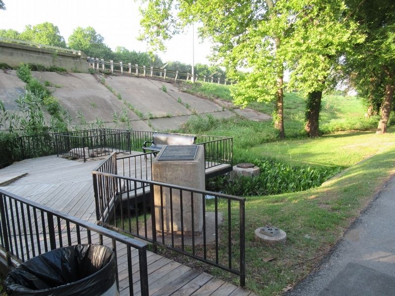
Location. 36° 8.287′ N, 96° 5.962′ W. Marker is in Sand Springs, Oklahoma, in Tulsa County. Marker is on East Charles Page Boulevard east of North Adams Road, on the left when traveling east. Touch for map. Marker is at or near this postal address: 651 E Charles Page Blvd, Sand Springs OK 74063, United States of America. Touch for directions.
Other nearby markers. At least 8 other markers are within 5 miles of this marker, measured as the crow flies. Charles Page (approx. 0.6 miles away); A New Century 1901-1926 (approx. 4.8 miles away); The Motoring Public 1926 (approx. 4.8 miles away); Transition 1866-1901 (approx. 4.8 miles away); Settlement of the Nations 1836-1866 (approx. 4.8 miles away); Crystal City (approx. 4.8 miles away); First Oil Well in Tulsa County (approx. 4.8 miles away); Red Fork (approx. 4.9 miles away).
Credits. This page was last revised on January 28, 2023. It was originally submitted on January 22, 2023, by Jason Armstrong of Talihina, Oklahoma. This page has been viewed 161 times since then and 64 times this year. Photos: 1, 2. submitted on January 22, 2023, by Jason Armstrong of Talihina, Oklahoma. • J. Makali Bruton was the editor who published this page.

