Main/Military Plaza in San Antonio in Bexar County, Texas — The American South (West South Central)
Urban Renewal and the Expansion of Government Buildings
Inscription.
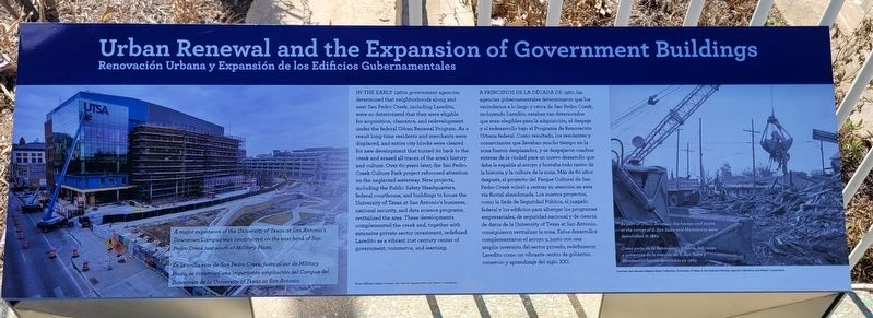
In the Early 1960s government agencies determined that neighborhoods along and near San Pedro Creek, including Laredito, were so deteriorated that they were eligible for acquisition, clearance, and redevelopment under the federal Urban Renewal Program. As a result long-time residents and merchants were displaced, and entire city blocks were cleared for new development that turned its back to the creek and erased all traces of the area's history and culture. Over 60 years later, the San Pedro Creek Culture Park project refocused attention on the neglected waterway. New projects, including the Public Safety Headquarters, federal courthouse, and buildings to house the University of Texas at San Antonio's business, national security, and data science programs, revitalized the area. These developments, complemented the creek and, together with extensive private sector investment, redefined Laredito as a vibrant 21st century center of government, commerce, and learning.
Captions
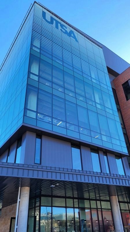
1: A major expansion of the University of Texas at San Antonio's Downtown Campus was constructed on the east bank of San Pedro Creek just south of Military Plaza.
2: As part of Urban Renewal, the houses and stores at the corner of S. San Saba and Matamoros were demolished in 1963.
Photo: William Luther; Courtesy: San Antonio Express-News and Hearst Corporation.
Courtesy: San Antonio Express-News Collection, University of Texas at San Antonio Library Special Collections and Hearst Corporation.
[Spanish Text]
A Principios De La Década De 1960, las agencias gubernamentales determinaron que los vecindarios a lo largo y cerca de San Pedro Creek, incluyendo Laredito, estaban tan deteriorados que eran elegibles para la adquisición, el despeje y el redesarrollo bajo el Programa de Renovación Urbana federal. Como resultado, los residentes y comerciantes que llevaban mucho tiempo en la zona fueron desplazados, y se despejaron cuadras enteras de la ciudad para un nuevo desarrollo que daba la espalda al arroyo y borraba todo rastro de la historia y la cultura de la zona. Más de 60 años después, el proyecto del Parque Cultural de San Pedro Creek volvió a centrar su atención en esta vía fluvial abandonada. Los nuevos proyectos, como la Sede de Seguridad Pública, el juzgado federal y los edificios para albergar los programas empresariales,
de seguridad nacional y de ciencia de datos de la University of Texas at San Antonio, consiguieron revitalizar la zona. Estos desarrollos. complementaron el arroyo y, junto con una amplia inversión del sector privado, redefinieron Laredito como un vibrante centro de gobierno, comercio y aprendizaje del siglo XXI.
Subtítulos
1: En la orilla este de San Pedro Creek, justo al sur de Military Plaza, se construyó una importante ampliación del Campus del Downtown de la University of Texas at San Antonio.
2: Como parte de la Renovación Urbana, las casas y comercios de la esquina de S. San Saba y Matamoros fueron demolidas en 1963.
Erected 2022 by San Pedro Creek Cultural Park.
Topics. This historical marker is listed in these topic lists: Education • Industry & Commerce • Parks & Recreational Areas • Waterways & Vessels. A significant historical year for this entry is 1963.
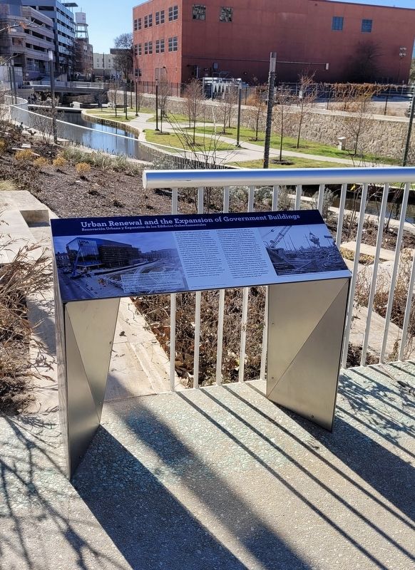
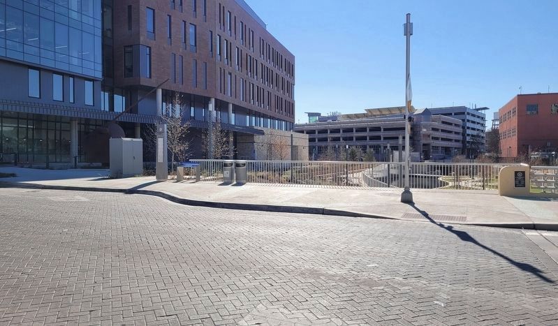
Location. 29° 25.445′ N, 98° 29.773′ W. Marker is in San Antonio, Texas, in Bexar County. It is in Main/Military Plaza. Marker is on Dolorosa Street, 0.1 miles east of South Laredo Street, on the right when traveling east. The marker is located on the south side of the Dolorosa Street Bridge along the creek. Touch for map. Marker is at or near this postal address: 506 Dolorosa Street, San Antonio TX 78205, United States of America. Touch for directions.
Other nearby markers.
At least 8 other markers are within walking distance of this marker. Laredito and the Tale of Two San Antonios (a few steps from this marker); Dolorosa Street (within shouting distance of this marker); The Healing Arts West of the Creek (within shouting distance of this marker); A Poor Settlement Takes Shape at the Northern Frontier of New Spain (within shouting distance of this marker); Jose Francisco Ruiz (within shouting distance of this marker); The Fight for an Independent Texas: From a Spanish Province to a Republic (within shouting distance of this marker); The Buried Past is Never Lost (within shouting distance of this marker); Plaza de Armas: Center of Commerce and Government (about 300 feet away, measured in a direct line). Touch for a list and map of all markers in San Antonio.
Also see . . . Where beauty meets purpose. San Pedro Creek Culture Park (Submitted on January 23, 2023, by James Hulse of Medina, Texas.)
Credits. This page was last revised on February 2, 2023. It was originally submitted on January 23, 2023, by James Hulse of Medina, Texas. This page has been viewed 86 times since then and 20 times this year. Photos: 1, 2, 3, 4. submitted on January 24, 2023, by James Hulse of Medina, Texas.


