St. Augustine in St. Johns County, Florida — The American South (South Atlantic)
Site of Fort Peyton
Inscription.
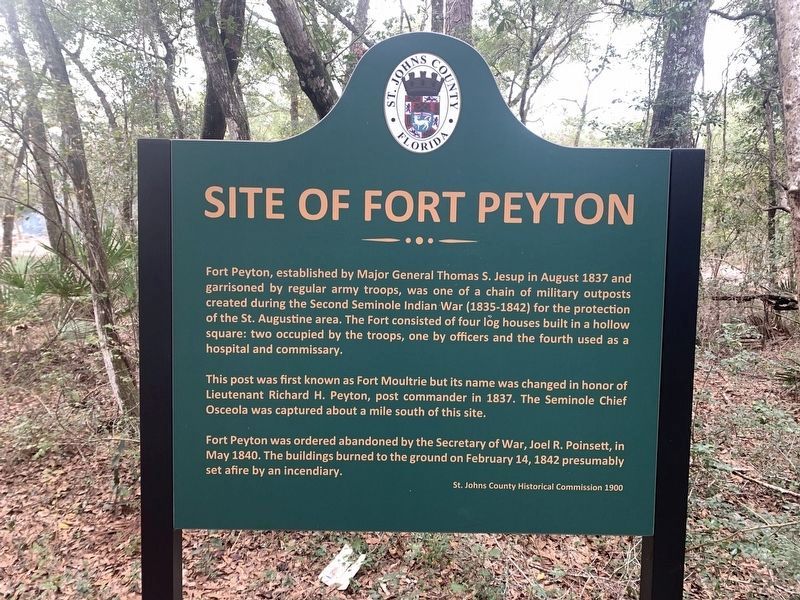
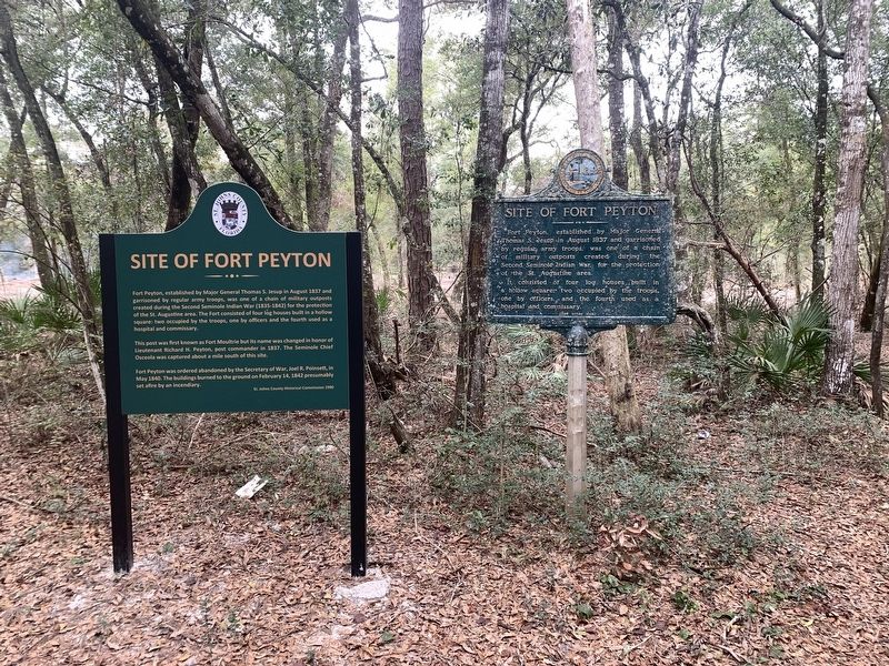
Fort Peyton, established by Major General Thomas S. Jesup in August 1837 and garrisoned by regular army troops, was one of a chain of military outposts created during the Second Seminole Indian War (1835-1842) for the protection of the St. Augustine area. The Fort consisted of four log houses built in a hollow square; two occupied by the troops, one by officers, and the fourth used as a hospital and commissary.
This post was first known as Fort Moultrie but its name was changed in honor of Lieutenant Richard H. Peyton, post commander in 1837. The Seminole Chief Osceola, was captured about a mile south of this site.
Fort Peyton was ordered abandoned by the Secretary of War, Joel R. Poinsett in May 1840. The buildings burned to the ground on February 14, 1842 presumably set afire by an incendiary.
Erected 1900 by St. Johns County Historical Commission.
Topics. This historical marker is listed in these topic lists: Forts and Castles • Wars, US Indian. A significant historical month for this entry is August 1837.
Location. 29° 49.296′ N, 81° 21.365′ W. Marker is in St. Augustine, Florida, in St. Johns County. Marker can be reached from Winterhawk Drive just west of Arrowhead Drive. Marker can be accessed via a dirt alley that is located west of Arrowhead Drive and north of Winterhawk Drive. A marker with similar text is located next to this one. Touch for map. Marker is in this post office area: Saint Augustine FL 32086, United States of America. Touch for directions.
Other nearby markers. At least 8 other markers are within walking distance of this marker. A different marker also named Site of Fort Peyton (a few steps from this marker); Treaty of Moultrie Creek (approx. 0.8 miles away); Seminole War (Fort Peyton) (approx. 0.8 miles away); a different marker also named Treaty of Moultrie Creek (approx. 0.8 miles away); Capture of Osceola (approx. 0.8 miles away); a different marker also named Treaty of Moultrie Creek (approx. 0.8 miles away); Treaty Park (approx. 0.8 miles away); Chief Osceola Capture Site (approx. 0.8 miles away). Touch for a list and map of all markers in St. Augustine.
Also see . . . Fort Peyton. (Submitted on January 23, 2023, by Tim Fillmon of Webster, Florida.)
Credits. This page was last revised on January 23, 2023. It was originally submitted on January 23, 2023, by Tim Fillmon of Webster, Florida. This page has been viewed 117 times since then and 28 times this year. Photos: 1, 2. submitted on January 23, 2023, by Tim Fillmon of Webster, Florida.

