Woodward in Woodward County, Oklahoma — The American South (West South Central)
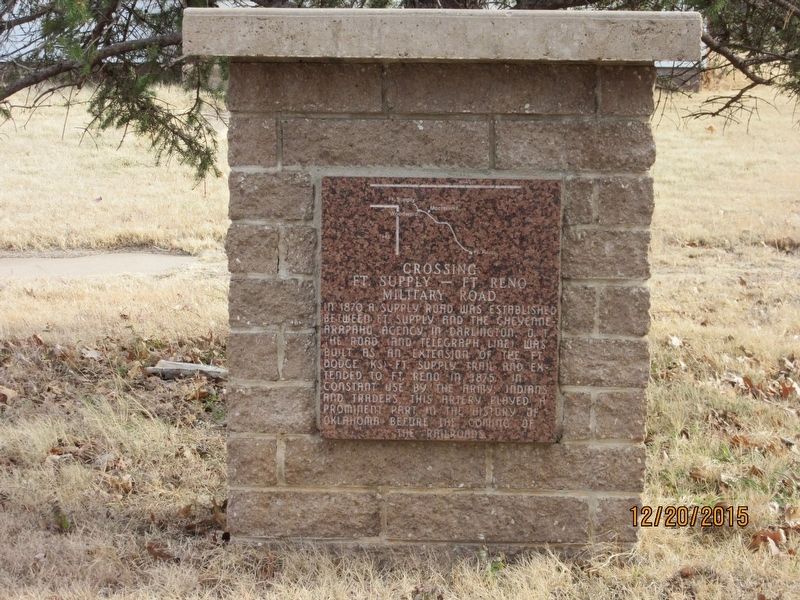
Crossing
Fort Supply - Fort Reno
— Military Road —
In 1870 a supply road was established between Fort Supply and the Cheyenne-Arapaho agency in Darlington, O.T. the road and telegraph line was built as an extension of the Fort Dodge KS - Fort Supply Trail and extended to Fort Reno in 1875. In constant use by the Army, Indians, and Traders. This artery played a prominent part in the history of Oklahoma before the coming of the railroads.
Topics. This historical marker is listed in these topic lists: Communications • Forts and Castles • Roads & Vehicles. A significant historical year for this entry is 1870.
Location. 36° 26.569′ N, 99° 23.434′ W. Marker is in Woodward, Oklahoma, in Woodward County. Marker is on 9th Street north of Jefferson Avenue, on the right when traveling north. Touch for map. Marker is at or near this postal address: 420 9th St, Woodward OK 73801, United States of America. Touch for directions.
Other nearby markers. At least 8 other markers are within 13 miles of this marker, measured as the crow flies. Military Chapel (approx. 0.6 miles away); Boiling Springs - An Oasis on the Prairie (approx. 4.8 miles away); The Civilian Conservation Corps Company 2822 Woodward Oklahoma (approx. 4.8 miles away); The Civilian Conservation Corps and Boiling Springs State Park (approx. 4.8 miles away); Boiling Springs State Park and the Civilian Conservation Corps (approx. 4.9 miles away); Camp Supply (approx. 12˝ miles away); Historic Fort Supply Cemetery (approx. 13 miles away); The Cooper Site (approx. 13 miles away). Touch for a list and map of all markers in Woodward.
Credits. This page was last revised on January 28, 2023. It was originally submitted on January 25, 2023, by Jason Armstrong of Talihina, Oklahoma. This page has been viewed 85 times since then and 16 times this year. Photo 1. submitted on January 25, 2023, by Jason Armstrong of Talihina, Oklahoma. • J. Makali Bruton was the editor who published this page.
Editor’s want-list for this marker. A wide view photo of the marker and the surrounding area together in context. • Can you help?
