Lower Providence Township near Collegeville in Montgomery County, Pennsylvania — The American Northeast (Mid-Atlantic)
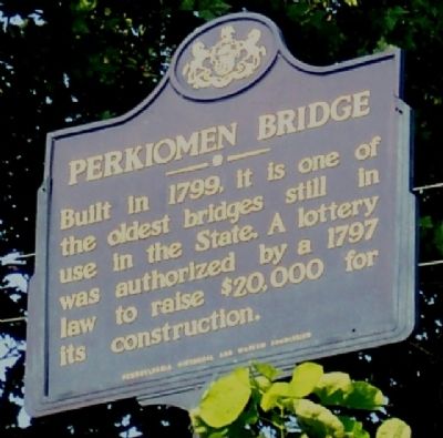
Perkiomen Bridge
Erected 1947 by Pennsylvania Historical and Museum Commission.
Topics and series. This historical marker is listed in these topic lists: Bridges & Viaducts • Man-Made Features. In addition, it is included in the Pennsylvania Historical and Museum Commission series list. A significant historical year for this entry is 1799.
Location. 40° 11.057′ N, 75° 26.83′ W. Marker is near Collegeville, Pennsylvania, in Montgomery County. It is in Lower Providence Township. Marker is on Main Street/Ridge Pike (Old U.S. 422), on the right when traveling east. Touch for map. Marker is at or near this postal address: 3978 Ridge Pike, Collegeville PA 19426, United States of America. Touch for directions.
Other nearby markers. At least 8 other markers are within 5 miles of this marker, measured as the crow flies. Frederick A. C. Muhlenberg (approx. 1.4 miles away); Keystone Grange #2 Old Lodge Hall (approx. 1.4 miles away); Muhlenberg House (approx. 1˝ miles away); Reformed Church at Providence / Site of Stone Church 1835-1874 (approx. 1.6 miles away); Augustus Lutheran Church (approx. 2.1 miles away); IndenHofen Farmstead (approx. 4 miles away); Port Providence Trailhead (approx. 4.2 miles away); Rittenhouse Farm (approx. 4.2 miles away).
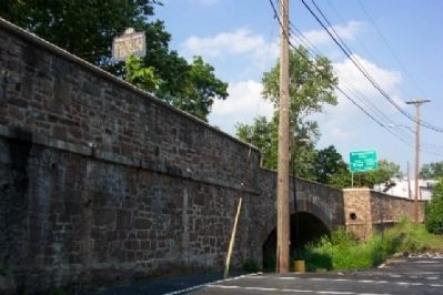
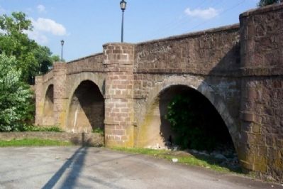
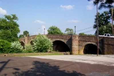
More about this marker. The marker is inaccessible as there is no pedestrian walkway across the bridge. The best view of the marker is from the parking lot of the Collegeville Inn on the southeast side of the bridge.
Also see . . .
1. A Brief History of Collegeville. A timeline of events in Collegeville. Side notes on the website: 1867 - Toll house erected on the Perkiomen Bridge. Local citizens throw the gate into the creek and burn the toll house - 1873 - Second toll house erected after a court order that a gate could not be maintained within one mile of the bridge. Local citizens again burn the toll house. (Submitted on August 14, 2009.)
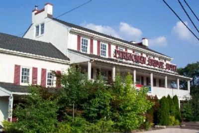
2. Preservationists Worry About Perkiomen Bridge Hotel. A Philadelphia Inquirer McClatchy-Tribune Business News Article by Jeff Gammage, March 22, 2007 regarding the Perkiomen Bridge Hotel financial woes. (Submitted on August 14, 2009.)
3. Philadelphia Trolly Tracks. A Photo of the bridge from May 30, 1921. (Submitted on August 14, 2009.)
Credits. This page was last revised on February 7, 2023. It was originally submitted on August 9, 2009, by William Fischer, Jr. of Scranton, Pennsylvania. This page has been viewed 1,821 times since then and 30 times this year. Photos: 1, 2, 3, 4, 5. submitted on August 9, 2009, by William Fischer, Jr. of Scranton, Pennsylvania. • Syd Whittle was the editor who published this page.
