
Marker Logo
THE HISTORICAL
MARKER DATABASE
“Bite-Size Bits of Local, National, and Global History”
Christmas in Orange County, Florida — The American South (South Atlantic)
 

Turpentine Tree

Fort Christmas Historical Park
 
 
Turpentine Tree Marker image. Click for full size.
Photographed by Brandon D Cross, October 20, 2022
1. Turpentine Tree Marker
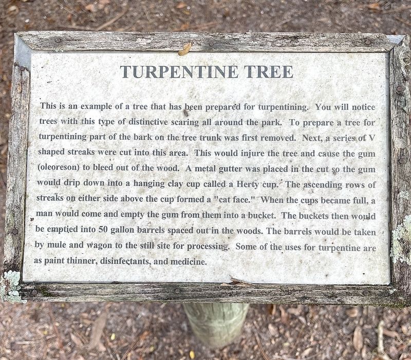
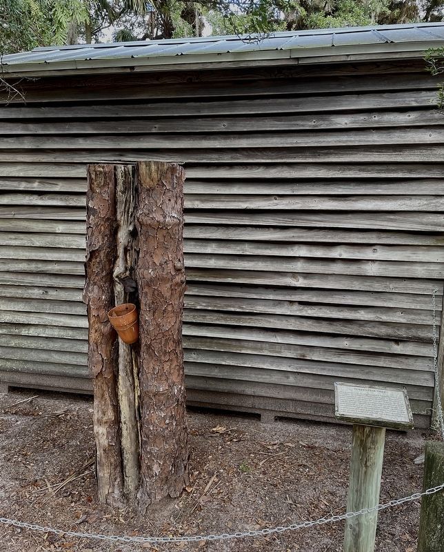
Inscription. This is an example of a tree that has been prepared for turpentining. You will notice trees with this type of distinctive scaring all around the park. To prepare a tree for turpentining part of the bark on the tree trunk was first removed. Next, a series of V shaped streaks were cut into this area. This would injure the tree and cause the gum (oleoreson) to bleed out of the wood, A metal gutter was placed in the cut so the gum would drip down into a hanging clay cup called a Herty cup. The ascending rows of streaks on either side above the cup formed a "cat face." When the cups became full, a man would come and empty the gum from them into a bucket. The buckets then would be emptied into 50 gallon barrels spaced out in the woods. The barrels would be taken by mule and wagon to the still site for processing. Some of the uses for turpentine are as paint thinner, disinfectants, and medicine.
 
Erected by Orange County Parks and Recreation.
 
Topics. This historical marker is listed in these topic lists: Horticulture & ForestryIndustry & CommerceParks & Recreational AreasSettlements & Settlers.
 
Location. 28° 33.66′ N,
Paid Advertisement
Click or scan to see
this page online
81° 1.303′ W. Marker is in Christmas, Florida, in Orange County. It is on North Fort Christmas Road 0.1 miles north of Christmas Cemetery Road. Located within Fort Christmas Historical Park. Touch for map. Marker is at or near this postal address: 1222 N Fort Christmas Road, Christmas FL 32709, United States of America. Touch for directions.

Regionally, this marker is in Greater Orlando and in Central Florida. It is also in the American South. Globally, it is in the North Atlantic Region, North America, a Gulf of Mexico state, the Western Hemisphere, the Western World, and the Anglosphere. Historically, it finds itself in what was once New Spain, the territory of the Mississippian Culture, one of the Confederate States of America, and the Antebellum South.

Other nearby markers. At least 8 other markers are within walking distance of this marker: Beehead Ranch House (a few steps from this marker); Cane Grinding-Syrup Making (within shouting distance of this marker); Cane Grinding (within shouting distance of this marker); Cotton (within shouting distance of this marker); Woods House (within shouting
Turpentine Tree Marker image. Click for full size.
Photographed by Brandon D Cross, October 20, 2022
2. Turpentine Tree Marker
distance of this marker); Florida Pioneer Gardens (within shouting distance of this marker); Simmons 3 House (within shouting distance of this marker); Chickens (about 300 feet away, measured in a direct line). Touch for a list and map of all markers in Christmas.
 
Also see . . .
1. The Turpentine Era. (Submitted on January 27, 2023, by Brandon D Cross of Flagler Beach, Florida.)
2. The Brutality of Florida’s Turpentine Industry. (Submitted on January 27, 2023, by Brandon D Cross of Flagler Beach, Florida.)
 
 
Credits. This page was last revised on January 27, 2023. It was originally submitted on January 27, 2023, by Brandon D Cross of Flagler Beach, Florida. This page has been viewed 250 times since then and 25 times this year. Photos:   1, 2. submitted on January 27, 2023, by Brandon D Cross of Flagler Beach, Florida. • Andrew Ruppenstein was the editor who published this page.

m=214832

CeraNet Cloud Computing sponsors the Historical Marker Database.
This website earns income from purchases you make after using our links to Amazon.com. We appreciate your support.
Paid Advertisement
Sep. 9, 2026
