Northside in Fort Wayne in Allen County, Indiana — The American Midwest (Great Lakes)
Kekionga
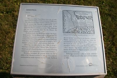
Tradition holds that Kekionga means "the blackberry patch." To the Miami people this also had the meaning of an ancient, sacred place. In the spring, the scattered families of the several clans came to Kekionga from their winter hunting grounds to conduct their business, prepare for war, and cultivate the fields.
Kekionga was described in the 1790s as being a very large settlement called "Miami Town" by eastern Americans who feared the place as the center of Indian resistance to the expanding United States frontier.
Kekionga occupied the ground above the flood plain of the Maumee and the St. Joseph rivers and was surrounded by wide expanses of corn fields, as far as the eye can see," according to one observer. Anthony Wayne commented on the broad corn fields that extended all along the Maumee River. Others noted the herds of cattle and the many gardens growing pumpkins, melons, and squash. Dome-shaped houses, called "wiccias," log homes, and bark-covered long houses, for business or religious purposes, covered the many acres of Kekionga.
Kekionga remained a place of native settlement until the Miami were forcibly removed from Indiana in 1846.
Erected by Journal-Gazette Foundation.
Topics. This historical marker is listed in these topic lists: Native Americans • Settlements & Settlers • Wars, US Indian. A significant historical year for this entry is 1846.
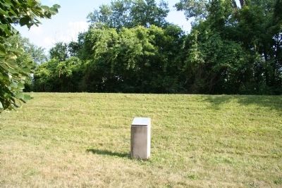
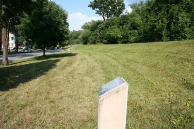
Location. 41° 4.905′ N, 85° 7.826′ W. Marker is in Fort Wayne, Indiana, in Allen County. It is in Northside. Marker is on Edgewater Avenue, half a mile west of Lafort Street, on the left. This historical marker is located just downstream from the "Three Rivers" area (where the St. Mary's and St. Joseph's Rivers come together to form the Maumee River), along the north side of the river. Touch for map. Marker is at or near this postal address: 740 Edgewater Avenue, Fort Wayne IN 46805, United States of America. Touch for directions.
Other nearby markers. At least 8 other markers are within walking distance of this marker. The Site of General Wayne's Fort (approx. 0.2 miles away); Old Fort Wayne Well (approx. 0.2 miles away); The Last Two American Forts / The Siege of 1812 (approx. 0.2 miles away); The Headwaters of the Maumee River (approx. 0.2 miles away); First Central Fire House (approx.
0.2 miles away); The History of the Bell (approx. 0.2 miles away); Three Rivers Water Filtration Plant (approx. ¼ mile away); The Battle of Kekionga (approx. ¼ mile away). Touch for a list and map of all markers in Fort Wayne.
Also see . . .
1. Miami Indians. This link is published and made available by, "Ohio History Central," an online encyclopedia of Ohio History. (Submitted on August 3, 2009, by Dale K. Benington of Toledo, Ohio.)
2. Kekionga. An encyclopedia article posted on Absolute Astronomy.com. (Submitted on August 3, 2009, by Dale K. Benington of Toledo, Ohio.)
Credits. This page was last revised on February 4, 2023. It was originally submitted on August 3, 2009, by Dale K. Benington of Toledo, Ohio. This page has been viewed 3,941 times since then and 147 times this year. Last updated on August 9, 2009, by Dale K. Benington of Toledo, Ohio. Photos: 1, 2, 3. submitted on August 3, 2009, by Dale K. Benington of Toledo, Ohio. • Kevin W. was the editor who published this page.


