
Mechanicsville in Hanover County, Virginia — The American South (Mid-Atlantic)
Cold Harbor Crossroads
Cold Harbor Tavern
Photographed by Bernard Fisher, January 30, 2023
1. Cold Harbor Crossroads Marker
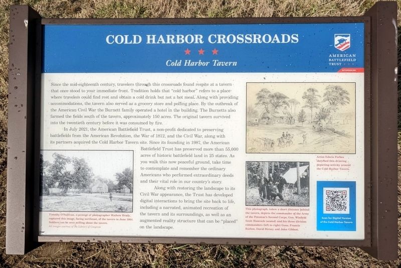
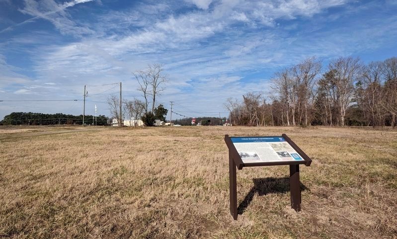
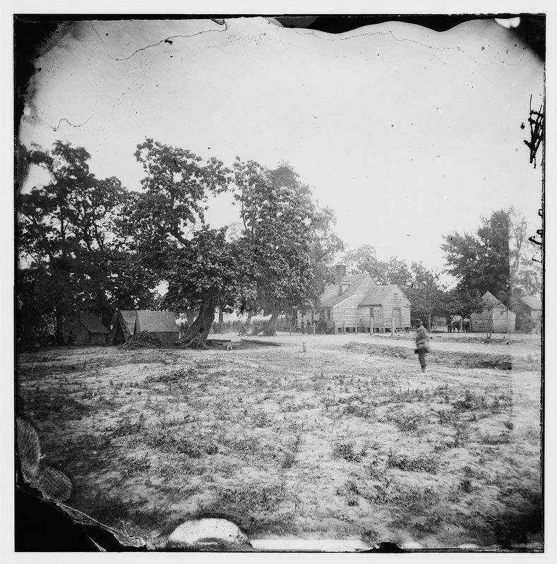
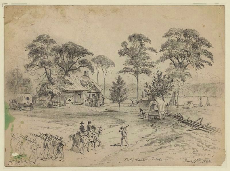
Since the mid-eighteenth century, travelers through this crossroads found respite at a tavern that once stood to your immediate front. Tradition holds that "cold harbor" refers to a place where travelers could find rest and obtain a cold drink but not a hot meal. Along with providing accommodations, the tavern also served as a grocery store and polling place. By the outbreak of the American Civil War the Burnett family operated a hotel in the building. The Burnetts also farmed the fields south of the tavern, approximately 150 acres. The original tavern survived into the twentieth century before it was consumed by fire.
In July 2021, the American Battlefield Trust, a non-profit dedicated to preserving battlefields from the American Revolution, the War of 1812, and the Civil War, along with its partners acquired the Cold Harbor Tavern site. Since its founding in 1987, the American Battlefield Trust has preserved more than 55,000 acres of historic battlefield land in 25 states. As you walk this now peaceful ground, take time to contemplate and remember the ordinary Americans who performed extraordinary deeds and their
this page online
Along with restoring the landscape to its Civil War appearance, the Trust has developed digital interactions to bring the site back to life, including a narrated, animated recreation of the tavern and its surroundings, as well as an augmented reality structure that can be "placed" on the landscape.
(captions)
Timothy O'Sullivan, a protegé of photographer Mathew Brady, captured this image, facing northeast, of the tavern in June 1864. Soldiers can be seem milling about the tavern. All images courtesy of the Library of Congress
Artist Edwin Forbes sketched this drawing depicting activity around the Cold Harbor Tavern.
This photograph, taken a short distance behind the tavern, depicts the commander the Army of the Potomac's Second Corps, Gen. Winfield Scott Hancock (seated) and his three division commanders (left to right) Gens. Francis Barlow, David Birney and John Gibbon.
Scan for Digital Version of the Cold Harbor Tavern
Erected 2023 by American Battlefield Trust.
Topics. This historical marker is listed in this topic list: War, US Civil.
Location. 37° 35.453′ N,
Photographed by Bernard Fisher, January 30, 2023
2. Cold Harbor Crossroads Marker (facing northwest)

Regionally, this marker is in Virginia’s Piedmont, in Central Virginia, and in the Richmond Metropolitan Area. It is also in the American South, specifically in the Upper South, and on the Eastern Seaboard. Globally, it is in the North Atlantic Region, North America, the Western Hemisphere, the Western World, and the Anglosphere. Historically, it finds itself in what was once the territory of the Mississippian Culture, one of the original Thirteen Colonies, one of the Confederate States of America, and the Antebellum South.
Other nearby markers. At least 8 other markers are within walking distance of this marker: A different marker also named Cold Harbor Crossroads (about 300 feet away, measured in a direct line); a different marker also named Cold Harbor Crossroads (about 300 feet
Photographed by Timothy O'Sullivan, June 1864
3. Cold Harbor, Virginia (vicinity). W.P. Burnet's house
Library of Congress [LC-B811- 691]
Photographed by Edwin Forbes, June 3, 1864
4. Cold Harbor Tavern, June 3, 1864
Library of Congress [LC-DIG-ppmsca-20704]
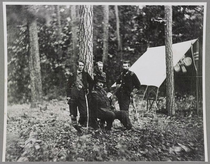
circa 1864
5. Generals, Barlow, Birney, Gibbon, & Hancock, USA
Library of Congress [LC-DIG-ppmsca-34227]
Credits. This page was last revised on January 28, 2026. It was originally submitted on January 30, 2023, by Bernard Fisher of Richmond, Virginia. This page has been viewed 470 times since then and 68 times this year. Photos: 1, 2, 3, 4, 5. submitted on January 30, 2023, by Bernard Fisher of Richmond, Virginia.
