Area 2/MIT in Cambridge in Middlesex County, Massachusetts — The American Northeast (New England)
The Looking Glass
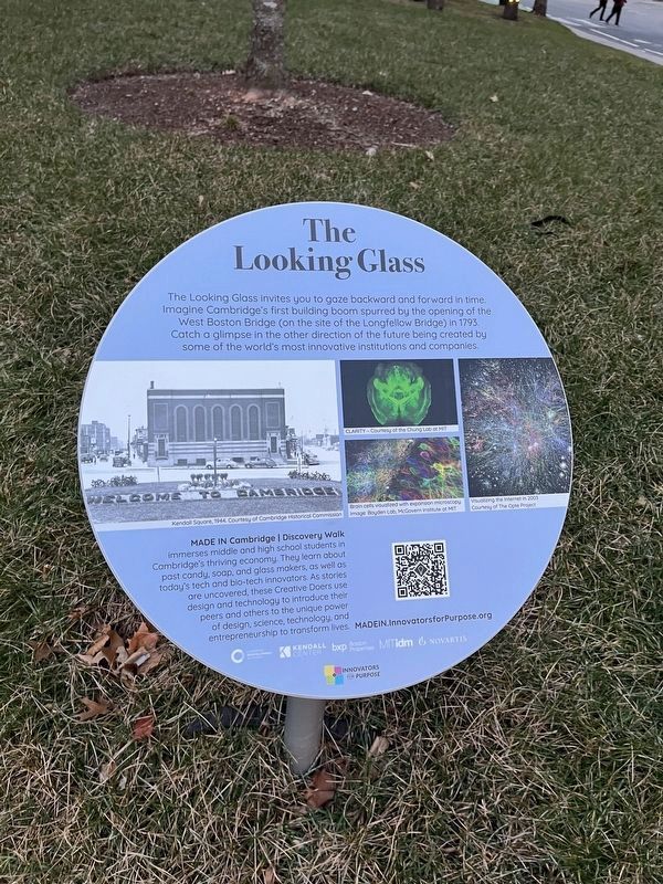
Topics. This historical marker is listed in these topic lists: Bridges & Viaducts • Industry & Commerce. A significant historical year for this entry is 1793.
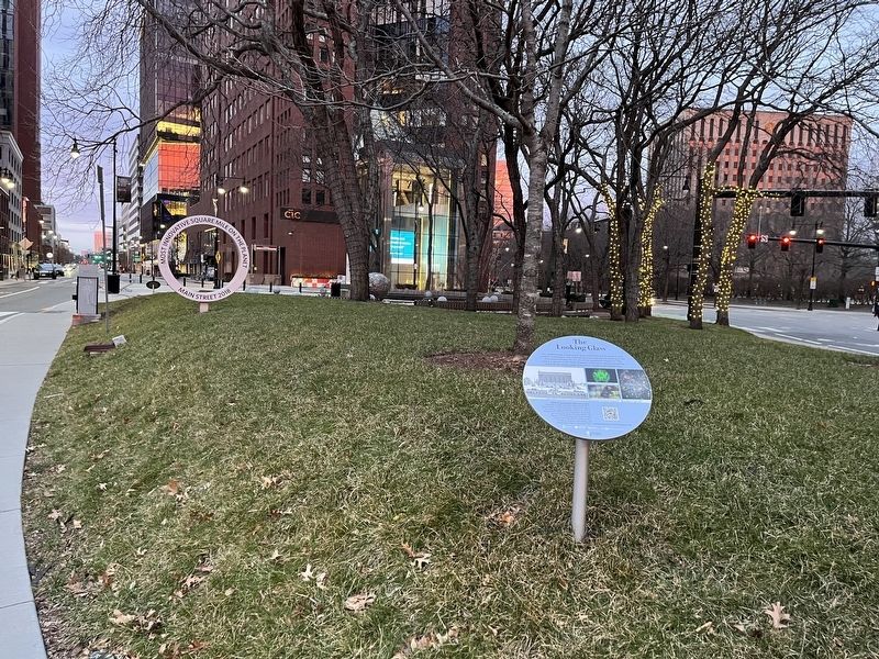
Location. 42° 21.735′ N, 71° 5.049′ W. Marker is in Cambridge, Massachusetts, in Middlesex County. It is in Area 2/MIT. It is at the intersection of Main Street and Wadsworth Street, on the right when traveling west on Main Street. Touch for map. Marker is at or near this postal address: 220238 Main St, Cambridge MA 02142, United States of America. Touch for directions.

Regionally, this marker is in Greater Boston. It is also in the American Northeast, in New England, and on the Eastern Seaboard. Globally, it is in the North Atlantic Region, North America, the Western Hemisphere, the Western World, and the Anglosphere.
this page online
Other nearby markers. At least 8 other markers are within walking distance of this marker: A different marker also named The Looking Glass (a few steps from this marker); Lawrence W. Gorman Memorial (within shouting distance of this marker); "Past, Present, Future" (approx. 0.2 miles away); Danny Lewin (approx. ¼ mile away); 'The Area 4 Story' (approx. half a mile away); William Wells Brown (approx. 0.6 miles away); The Smoot (approx. 0.6 miles away); Davenport Car Manufactory (approx. 0.6 miles away). Touch for a list and map of all markers in Cambridge.
Credits. This page was last revised on January 30, 2023. It was originally submitted on January 30, 2023, by Devry Becker Jones of Washington, District of Columbia. This page has been viewed 264 times since then and 13 times this year. Photos: 1, 2, 3. submitted on January 30, 2023, by Devry Becker Jones of Washington, District of Columbia.
