Kissimmee in Osceola County, Florida — The American South (South Atlantic)
Disston Rice Mill
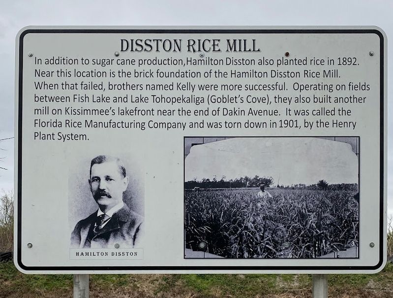
Photographed by Diane Murphy
1. Disston Rice Mill Marker
Topics. This historical marker is listed in these topic lists: Agriculture • Industry & Commerce. A significant historical year for this entry is 1892.
Location. 28° 16.484′ N, 81° 21.512′ W. Marker is in Kissimmee, Florida, in Osceola County. It is on Neptune Road (Scenic Route 525) 2 miles west of Cross Prairie Parkway, on the left when traveling west. The marker is located near the Bertha Partin Memorial Rest Stop along the Florida National Scenic Trail. Touch for map. Marker is at or near this postal address: 2094 Neptune Rd, Kissimmee FL 34744, United States of America. Touch for directions.

Regionally, this marker is in Greater Orlando
this page online
Other nearby markers. At least 8 other markers are within 3 miles of this marker, measured as the crow flies: Sugar Belt Railroad (here, next to this marker); The Siege of Bataan & Corregidor (approx. 2.9 miles away); William Isaac and May Belle Patterson Barber (approx. 3 miles away); Dr. Haynes and Agnes Brinson (approx. 3 miles away); D. L. (Roy) and Bess Autrey (approx. 3 miles away); George C. and Spicey Vianna Bronson (approx. 3 miles away); Irlo and Flora Bass Bronson (approx. 3 miles away); R. Carlyle and Louise Karlet Bronson (approx. 3 miles away). Touch for a list and map of all markers in Kissimmee.
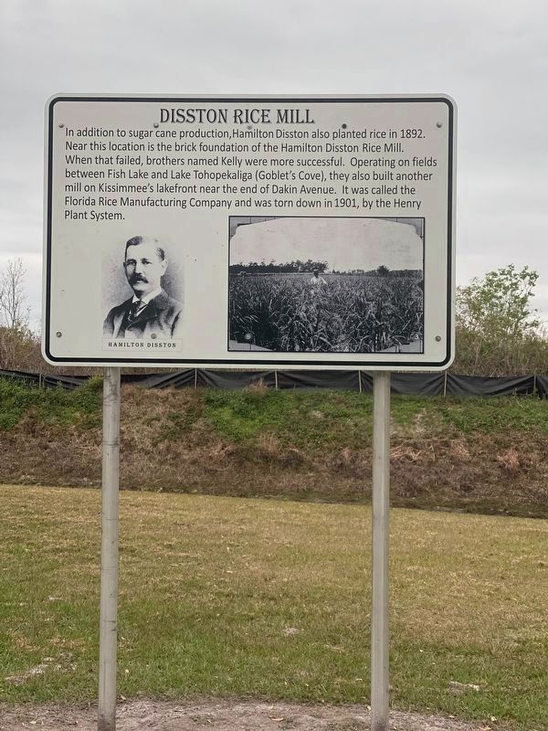
Photographed by Diane Murphy, February 1, 2023
2. Disston Rice Mill Marker
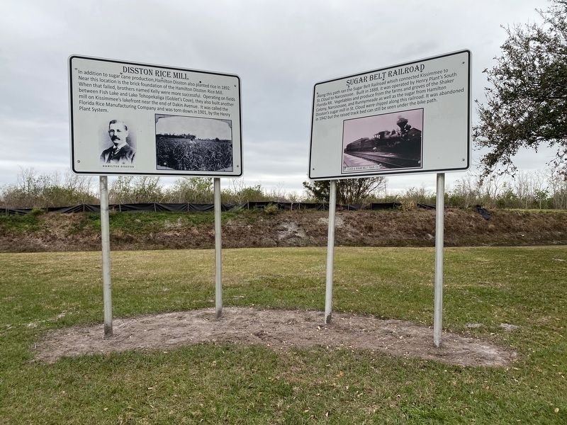
Photographed by Diane Murphy, February 1, 2023
3. Disston Rice Mill Marker
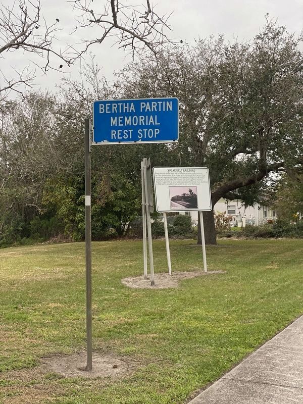
Photographed by Diane Murphy, February 1, 2023
4. Disston Rice Mill Marker
There are two markers at Bertha Partin Memorial Park. There is a small area to park just east of a small walkway bridge.
Credits. This page was last revised on February 12, 2023. It was originally submitted on February 2, 2023, by Diane Murphy of Saint Cloud, Florida. This page has been viewed 356 times since then and 31 times this year. Photos: 1. submitted on February 2, 2023, by Diane Murphy of Saint Cloud, Florida. 2, 3, 4. submitted on February 12, 2023, by Diane Murphy of Saint Cloud, Florida. • Bernard Fisher was the editor who published this page.
