Berlin in Somerset County, Pennsylvania — The American Northeast (Mid-Atlantic)
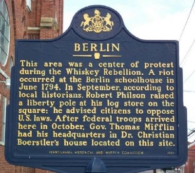
Berlin
Erected 1994 by Pennsylvania Historical and Museum Commission.
Topics and series. This historical marker is listed in these topic lists: Agriculture • Settlements & Settlers. In addition, it is included in the Pennsylvania Historical and Museum Commission, and the Whiskey Rebellion series lists. A significant historical month for this entry is June 1794.
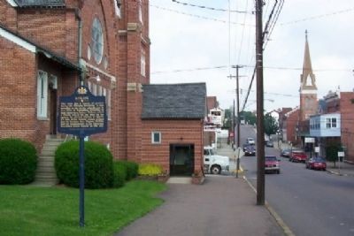
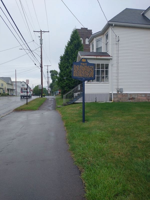
Location. 39° 55.228′ N, 78° 57.398′ W. Marker is in Berlin, Pennsylvania, in Somerset County. Marker is on Main Street, on the right when traveling east. Marker is at Trinity United Church of Christ, on Main Street between Vine Street and 6th Avenue. Touch for map. Marker is at or near this postal address: 600 Main Street, Berlin PA 15530, United States of America. Touch for directions.
Other nearby markers. At least 8 other markers are within 8 miles of this marker, measured as the crow flies. Veterans Memorial (about 500 feet away, measured in a direct line); General Robert Philson (about 600 feet away); a different marker also named Veterans Memorial (approx. 0.4 miles away); a different marker also named Veterans Memorial (approx. 0.4 miles away); Jeremiah S. Black (approx. 3.3 miles away); Deeter's Gap (approx. 4.9 miles away); Flora Black (approx. 7.1 miles away); Rural Electrification (approx. 7.1 miles away). Touch for a list and map of all markers in Berlin.
Also see . . . The Whiskey Rebellion. (Submitted on August 20, 2009, by Bill Pfingsten of Bel Air, Maryland.)
Credits. This page was last revised on August 29, 2022. It was originally submitted on August 11, 2009, by William Fischer, Jr. of Scranton, Pennsylvania. This page has been viewed 1,785 times since then and 75 times this year. Photos: 1, 2. submitted on August 11, 2009, by William Fischer, Jr. of Scranton, Pennsylvania. 3. submitted on August 8, 2022, by Craig Doda of Napoleon, Ohio. • Bill Pfingsten was the editor who published this page.


