Tübingen, Baden-Württemberg, Germany — Central Europe
Ein Schöpfbrunnen aus der Unterstadt / A Well from the Lower Part of Town
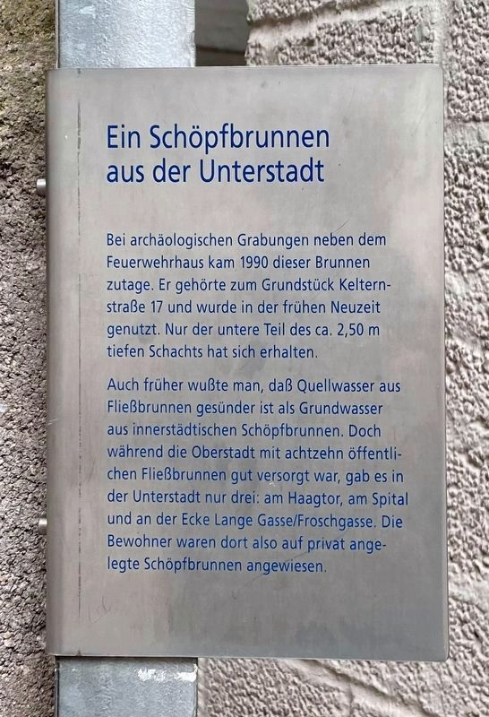
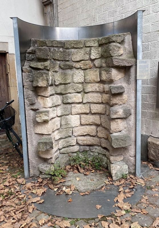
Bei archäologischen Grabungen neben dem Feuerwehrhaus kam 1990 dieser Brunnen zutage. Er gehörte zum Grundstück Kelternstraße 17 und wurde in der frühen Neuzeit genutzt. Nur der untere Teil des ca. 2,50 m tiefen Schachts hat sich erhalten.
Auch früher wußte man, daß Quellwasser aus Fließbrunnen gesünder ist als Grundwasser aus innerstädtischen Schöpfbrunnen. Doch während die Oberstadt mit achtzehn öffentlichen Fließbrunnen gut versorgt war, gab es in der Unterstadt nur drei: am Haagtor, am Spital und an der Ecke Lange Gasse/Froschgasse. Die Bewohner waren dort also auf privat angelegte Schöpfbrunnen angewiesen.
This well came to light in 1990 during archaeological excavations next to the fire station. It was found on the property at Kelternstraße 17 and was used during the early modern period. Only the lower part of the approximately 2.5 meters deep shaft has been preserved.
Even in the past it was known that spring water from flowing wells is healthier than groundwater from inner-city wells. But while the upper town was well supplied with eighteen public water fountains, there were only three in the lower town: at the Haagtor, at the hospital and at the corner of Lange Gasse and Froschgasse. The residents there were therefore dependent on privately constructed water wells.
Topics. This historical marker is listed in these topic lists: Anthropology & Archaeology • Man-Made Features.
Location. 48° 31.277′ N, 9° 3.2′ E. Marker is in Tübingen, Baden-Württemberg. Marker is on Neustadtgasse, on the left when traveling west. Touch for map. Marker is in this post office area: Tübingen BW 72070, Germany. Touch for directions.
Other nearby markers. At least 8 other markers are within walking distance of this marker. Kornhaus (a few steps from this marker); Zerstörung der kommunalen Demokratie / Destroying the Municipal Democracy (about 120 meters away, measured in a direct line); Hermann Kurz (about 120 meters away); Former Dominican Building (about 180 meters away); Regina Burckhardt-Bardili and Andreas Burckhardt (about 180 meters away); Nonnenhaus / Nunnery (about 210 meters away); Alois Alzheimer (about 210 meters away); Hermann Hesse (about 210 meters away). Touch for a list and map of all markers in Tübingen.
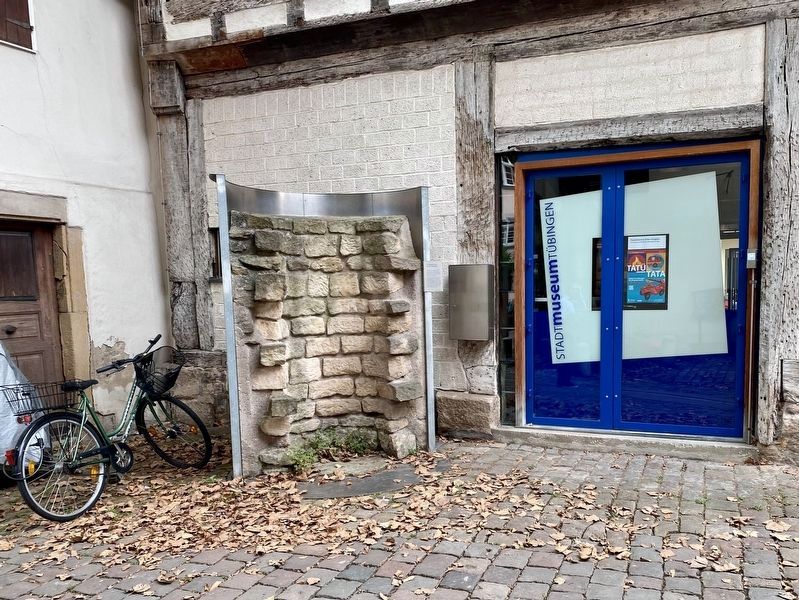
More about this marker. The marker is fastened to the side of the well-casing, and is located on the north side of the city museum.
Credits. This page was last revised on February 4, 2023. It was originally submitted on February 4, 2023, by Andrew Ruppenstein of Lamorinda, California. This page has been viewed 37 times since then and 6 times this year. Photos: 1, 2, 3. submitted on February 4, 2023, by Andrew Ruppenstein of Lamorinda, California.


