Waterfront in Boston in Suffolk County, Massachusetts — The American Northeast (New England)
Lovells Island
Boston Harbor Islands National Park Area
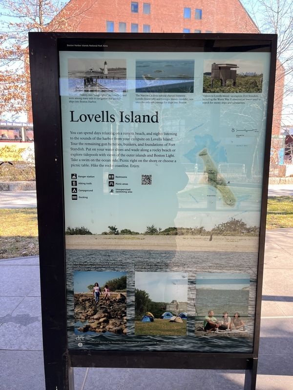
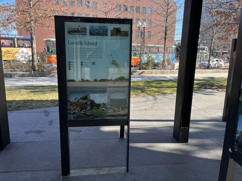
You can spend days relaxing on a remote beach, and nights listening to the sounds of the harbor from your campsite on Lovells Island. Tour the remaining gun batteries, bunkers, and foundations of Fort Standish. Pub on your water shoes and wade along a rocky beach or explore tidepools with views of the outer islands and Boston Light. Take a swim on the ocean side. Picnic right on the shore or choose a picnic table. Hike the rocky coastline. Enjoy.
[Captions:]
Beacons of safety, two "range lights" on Lovells Island were among many aids to navigation that guided ships into Boston Harbor.
The Narrows, a deep natural channel between Lovells (lower left) and Georges Island (middle), was once the only safe passage for ships into Boston.
Visitors to Lovells Island can explore Fort Standish, including the World War II observation tower used to search for enemy ships and submarines.
When the tide goes out twice each day, a hidden world is revealed: tide pools shelter native crabs, sea stars, rock weed, and more.
Campers at a group campsite, nestled within the parade ground of Fort Standish, can swim, hike, and explore the fort.
Bring a picnic lunch. Enjoy cool breezes and spectacular island views.
Erected by National Park Service, U.S. Department of the Interior.
Topics and series. This historical marker is listed in these topic lists: Communications • Forts and Castles • Parks & Recreational Areas • War, World II • Waterways & Vessels. In addition, it is included in the Lighthouses series list.
Location. 42° 21.605′ N, 71° 3.137′ W. Marker is in Boston, Massachusetts, in Suffolk County. It is in Waterfront. Marker is on Atlantic Avenue north of State Street, on the left when traveling north. Touch for map. Marker is at or near this postal address: 191w Atlantic Ave, Boston MA 02110, United States of America. Touch for directions.
Other nearby markers. At least 8 other markers are within walking distance of this marker. Georges Island (here, next to this marker); Little Brewster Island (here, next to this marker); Boston Harbor Islands (here, next to this marker); Peddocks Island (here, next to this marker); Spectacle Island (here, next to this marker); Thompson Island (here, next to this marker); Bumpkin Island (here, next to this marker); Rose Fitzgerald Kennedy Greenway (within shouting distance of this marker). Touch for a list and map of all markers in Boston.
Credits. This page was last revised on February 4, 2023. It was originally submitted on February 4, 2023, by Devry Becker Jones of Washington, District of Columbia. This page has been viewed 52 times since then and 11 times this year. Photos: 1, 2. submitted on February 4, 2023, by Devry Becker Jones of Washington, District of Columbia.

