Johns Creek in Fulton County, Georgia — The American South (South Atlantic)
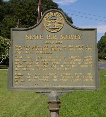
State R.R. Survey
July 4, 1837
Trial lines were run to the Etowah River, 38 mi, N, to determine if a Chattahoochee River crossing here would conform to levels established between Hog Mt. to the South & the Allatoona Range near the Etowah.
Failing to find suitable grades, other trial lines not only fixed the crossing at Bolton, 25 mi. down stream, but placed Atlanta where it is.
Erected 1952 by Georgia Historical Commission. (Marker Number 060-1.)
Topics and series. This historical marker is listed in these topic lists: Railroads & Streetcars • Roads & Vehicles • Settlements & Settlers. In addition, it is included in the Georgia Historical Society series list.
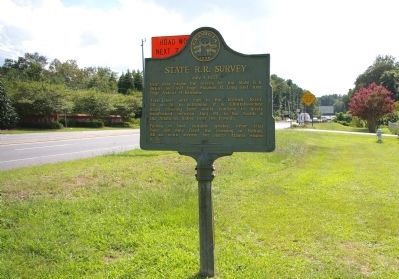
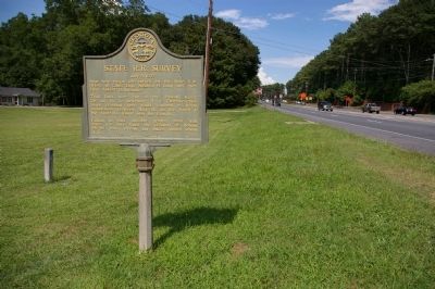
Location. 33° 59.886′ N, 84° 12.072′ W. Marker is in Johns Creek, Georgia, in Fulton County. Marker is at the intersection of Medlock Bridge Road (Georgia Route 141) and Vista Bluff Drive, on the right when traveling south on Medlock Bridge Road. The marker is just north of the north bank of the Chattahoochee River. Touch for map. Marker is in this post office area: Duluth GA 30097, United States of America. Touch for directions.
Other nearby markers. At least 8 other markers are within 4 miles of this marker, measured as the crow flies. Steam Locomotion at High Tide! (approx. 2.7 miles away); Passenger Coach No. 3780 (approx. 2.7 miles away); Spreader #JX635 (approx. 2.7 miles away); The History of the Miniature Train Company (approx. 2.8 miles away); Home of Alice Harrell Strickland - Georgia's First Woman Mayor (approx. 3.6 miles away); "Holy Row" (approx. 3.7 miles away); Peachtree Road (approx. 3.8 miles away); Site of Norcross Public Library (approx. 3.8 miles away).
Credits. This page was last revised on January 26, 2020. It was originally submitted on August 12, 2009, by David Seibert of Sandy Springs, Georgia. This page has been viewed 1,224 times since then and 28 times this year. Photos: 1, 2, 3, 4. submitted on August 12, 2009, by David Seibert of Sandy Springs, Georgia. • Craig Swain was the editor who published this page.


