Red Bank in Hamilton County, Tennessee — The American South (East South Central)
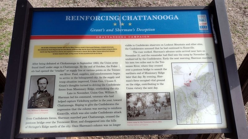
Reinforcing Chattanooga
Grant's and Sherman's Deception
— Chattanooga Campaign —
After being defeated at Chickamauga in September 1863, the Union army found itself under siege in Chattanooga. By the end of October, the Federals had opened the "cracker” or supply line at various points on the Tennessee River. Food, supplies, and reinforcements began to arrive in the beleaguered city. As the supply and troop situation improved, Union Gen. Ulysses S. Grant's thoughts turned to driving the Confederate forces from Missionary Ridge, overlooking the city.
Late in November, Union Gen. William T. Sherman led his command, veterans who had helped capture Vicksburg earlier in the year, toward Chattanooga. Hoping to give the Confederates the impression that the column was moving to reinforce Knoxville, which was also under Confederate attack from Confederate forces, Sherman marched past Chattanooga, crossed the pontoon bridge over the Tennessee River, and disappeared into the hills of Stringer's Ridge north of the city. Once Sherman's column was no longer visible to Confederate observers on Lookout Mountain and other sites, the Confederates assumed that he had continued to Knoxville.
The ruse worked. Sherman's advance units arrived near here on November 21, and the remainder had filed into the camp by November 23, unobserved by the Confederates. Early the next morning, Sherman marched his men two miles east to the Tennessee River, where they crossed over a pontoon bridge to assault the northern end of Missionary Ridge later that day. By evening, Sherman's force occupied vital ground on the ridge, contributing to the Union victory the next day.
Erected by Tennessee Civil War Trails.
Topics. This historical marker is listed in this topic list: War, US Civil. A significant historical month for this entry is November 1863.
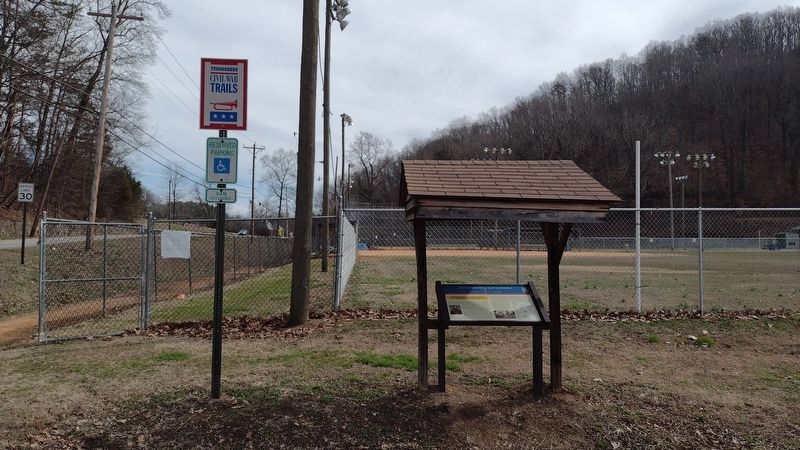
Location. 35° 5.552′ N, 85° 18.236′ W. Marker is in Red Bank, Tennessee, in Hamilton County. Marker is at the intersection of Memorial Drive and James Avenue, on the right when traveling east on Memorial Drive. Marker is beneath a small shelter adjacent to the White Oak community ballfields just east of the White Oak Baptist Church. Touch for map. Marker is at or near this postal address: 2226 James Ave, Chattanooga TN 37415, United States of America. Touch for directions.
Other nearby markers. At least 8 other markers are within 3 miles of this marker, measured as the crow flies. Sherman's Hideout (approx. 0.2 miles away); Chattanooga High School (approx. 0.9 miles away); Union Army Hospital (approx. one mile away); Wilder's Artillery Position (approx. 1.6 miles away); Red Bank Veteran's Memorial (approx. 2 miles away); Chattanooga Golf and Country Club (approx. 2 miles away); Civil War River Crossing (approx. 2.1 miles away); Hill Overlooks & Industrial Past (approx. 2.1 miles away). Touch for a list and map of all markers in Red Bank.
Credits. This page was last revised on February 6, 2023. It was originally submitted on February 5, 2023, by Lee Hattabaugh of Capshaw, Alabama. This page has been viewed 112 times since then and 23 times this year. Photos: 1, 2. submitted on February 5, 2023, by Lee Hattabaugh of Capshaw, Alabama. • Bernard Fisher was the editor who published this page.

