Keyser in Mineral County, West Virginia — The American South (Appalachia)
Oriskany-Helderberg
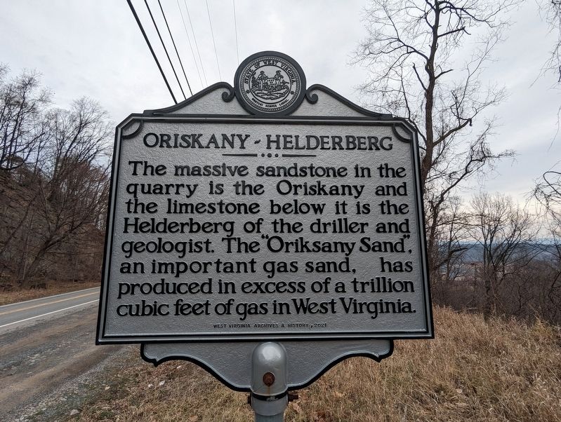
Photographed by Mike Wintermantel, February 7, 2023
1. Oriskany-Helderberg Marker
Erected 2021 by West Virginia Archives & History.
Topics. This historical marker is listed in these topic lists: Environment • Industry & Commerce.
Location. 39° 25.344′ N, 78° 56.53′ W. Marker is in Keyser, West Virginia, in Mineral County. It is on Fort Ashby Road (West Virginia Route 46) 0.3 miles east of Country Mile Road, on the right when traveling east. Touch for map. Marker is in this post office area: Keyser WV 26726, United States of America. Touch for directions.

Regionally, this marker is in the Eastern Panhandle. It is also in the American South, specifically in the Upper South, in Appalachia, and specifically in Northern Appalachia. Globally, it is in North America, the Western Hemisphere, the Western World, and the Anglosphere. Historically, it finds itself in what was once the territory of the
this page online
Other nearby markers. At least 8 other markers are within 2 miles of this marker, measured as the crow flies: Washington’s Host (approx. 1.9 miles away); Jonah E. Kelley Memorial Bridge (approx. 2 miles away); New Creek Station (approx. 2 miles away); Blacksmith Shop (approx. 2 miles away); Courthouse (approx. 2 miles away); Tannery and Shoe Factory (approx. 2.1 miles away); Taylor Home (approx. 2.1 miles away); Lest We Forget (approx. 2.1 miles away). Touch for a list and map of all markers in Keyser.
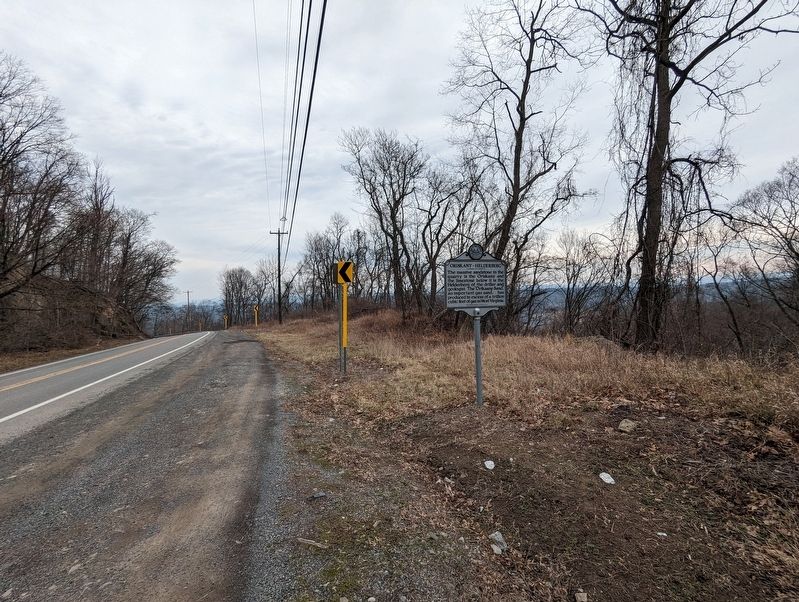
Photographed by Mike Wintermantel, February 7, 2023
2. Oriskany-Helderberg Marker
Credits. This page was last revised on February 8, 2023. It was originally submitted on February 8, 2023, by Mike Wintermantel of Pittsburgh, Pennsylvania. This page has been viewed 201 times since then and 21 times this year. Photos: 1, 2. submitted on February 8, 2023, by Mike Wintermantel of Pittsburgh, Pennsylvania.
