Wiley Ford in Mineral County, West Virginia — The American South (Appalachia)
Wiley Ford Racing
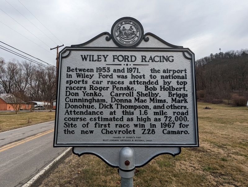
Photographed by Mike Wintermantel, February 7, 2023
1. Wiley Ford Racing Marker
Erected 2021 by Friends of Ashby's Fort; West Virginia Archives & History.
Topics. This historical marker is listed in these topic lists: Roads & Vehicles • Sports. A significant historical year for this entry is 1953.
Location. 39° 37.214′ N, 78° 46.365′ W. Marker is in Wiley Ford, West Virginia, in Mineral County. It is on Airport Road east of Frankfort Highway (West Virginia Route 28), on the right when traveling east. Touch for map. Marker is at or near this postal address: 23 Tin Can Hollow Rd, Wiley Ford WV 26767, United States of America. Touch for directions.

Regionally, this marker is in the Eastern Panhandle. It is also in the American South, specifically in the Upper South, in Appalachia, and specifically in Northern Appalachia.
this page online
Other nearby markers. At least 8 other markers are within 2 miles of this marker, measured as the crow flies: West Virginia (Mineral County) / Maryland (about 500 feet away, measured in a direct line); St. Mary's Centennial Tree (approx. 1½ miles away in Maryland); Combined Veterans Memorial (approx. 1.6 miles away); In Memory (approx. 1.6 miles away); Ridgeley Honor Roll (approx. 1.7 miles away); History of Ridgeley West Virginia (approx. 1.7 miles away); William E. Shuck Jr. Memorial (approx. 1.8 miles away); Picket Post No. 1 (approx. 1.8 miles away in Maryland).
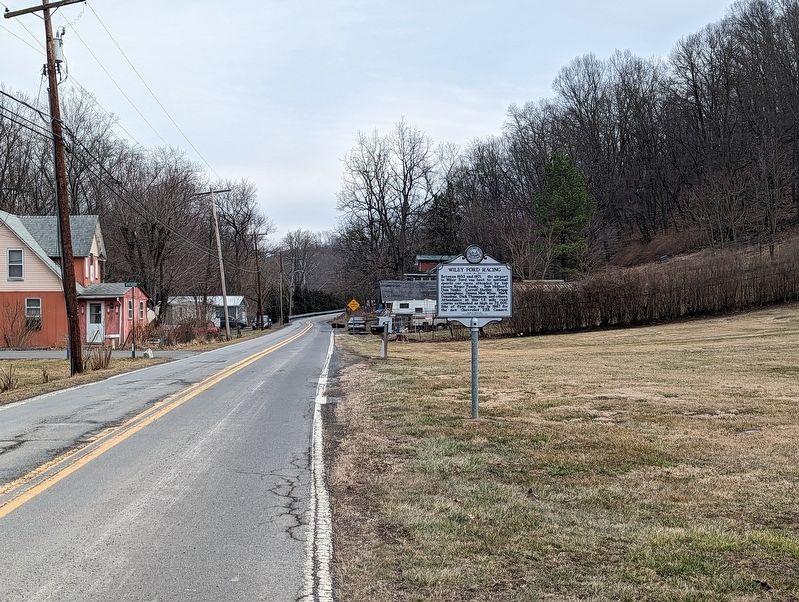
Photographed by Mike Wintermantel, February 7, 2023
2. Wiley Ford Racing Marker
Credits. This page was last revised on January 7, 2026. It was originally submitted on February 8, 2023, by Mike Wintermantel of Pittsburgh, Pennsylvania. This page has been viewed 520 times since then and 44 times this year. Photos: 1, 2. submitted on February 8, 2023, by Mike Wintermantel of Pittsburgh, Pennsylvania.
