Pie Del Cerro in Cartagena de Indias in Municipio de Cartagena, Bolívar, Colombia — Northwestern South America
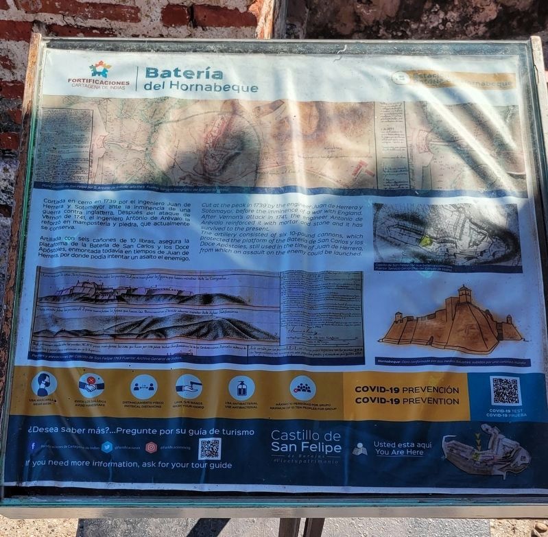
Hornabeque Battery
Castillo de San Felipe
Photographed by James Hulse, February 4, 2023
1. Hornabeque Battery Marker

Artillada con sels cañones de 10 libras, asegura la plataforma de la Batería de San Carlos y los Doce Apóstoles, enmontada todavía en tiempos de Juan de Herrera, por donde podía intentar un asalto el enemigo.
Subtítulos
1. Plano Castillo de San Felipe por D. Antonio de Arevalo año 1763. Fuente: Servicio Geográfico del Ejército de Madrid.
2. Perfiles y elevaciones del Castillo de San Felipe 1763 Fuente: Archivo General de Indias.
3. Castillo de San Felipe con sus baterias colaterales. Fuente: Servicio Geográfico del Ejército de Madrid.
4. Hornabeque: Obra conformada por dos medios Baluartes, subidos por una cortinaio murallo.
English:
this page online
The artillery consisted of six 10-pound cannons, which protected the platform of the Bateria de San Carlos y los Doce Apóstoles, still used in the time of Juan de Herrera, from which an assault on the enemy could be launched.
Captions
1. San Felipe Castle plan by D. Antonio de Arevalo in 1763. Source: Geographical Service of the Army of Madrid.
2. Profiles and elevations of the Castillo de San Felipe 1763 Source: General Archive of the Indies.
3. Castillo de San Felipe with its collateral batteries. Source: Madrid Army Geographic Service.
4. Hornabeque: Work made up of two bastions, raised by a curtain wall.
Erected by Cartagena de Indias Fortifications.
Topics. This historical marker is listed in these topic lists: Colonial Era • Forts and Castles. A significant historical year for this entry is 1739.
Location. 10° 25.37′ N, 75° 32.354′ W. Marker is in Cartagena de Indias, Bolívar, in Municipio de Cartagena. It is in Pie Del Cerro. It can be reached from the intersection of Carrera 17 and Avenida Antonio de Arévalo. The marker is located along
Photographed by James Hulse, February 4, 2023
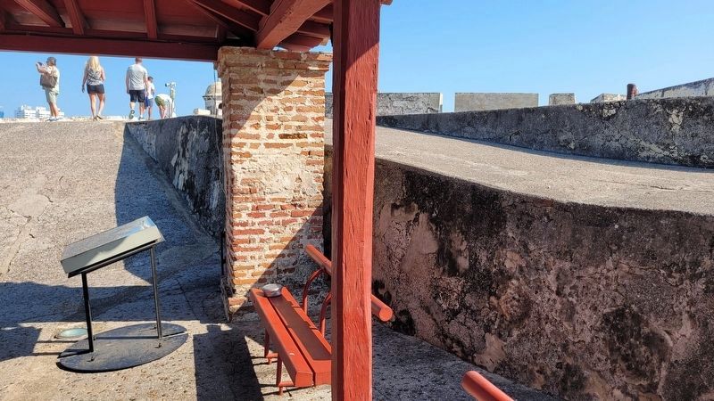
2. The view of the Hornabeque Battery Marker

Regionally, it is on the Caribbean Sea, in South America, in a Andean South America country, on the Pacific Rim, and in the Western Hemisphere. Historically, it finds itself in what was once a Spanish colony.
Other nearby markers. At least 8 other markers are within walking distance of this marker: Powder Kegs Warehouses for Artillery (within shouting distance of this marker); Redemption Battery (within shouting distance of this marker); Don Blas de Lezo (about 150 meters away, measured in a direct line); Vaults Barracks (approx. 1.1 kilometers away); San Juan Bosco (approx. 1.1 kilometers away); Aduana Square (approx. 1.2 kilometers away); Proclamation Square (approx. 1.2 kilometers away); San Pedro Claver Square (approx. 1.2 kilometers away). Touch for a list and map of all markers in Cartagena de Indias.
Photographed by James Hulse, February 4, 2023
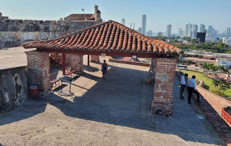
3. The view of Hornabeque Battery Marker (on left) from the top
Photographed by James Hulse, February 4, 2023
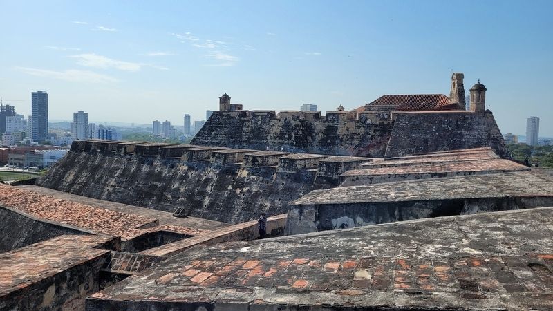
4. The top of the Castillo de San Felipe
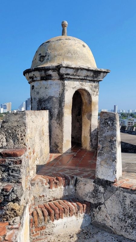
Photographed by James Hulse, February 4, 2023
5. Guard House at the top of Castillo de San Felipe
Credits. This page was last revised on February 11, 2023. It was originally submitted on February 8, 2023, by James Hulse of Medina, Texas. This page has been viewed 269 times since then and 33 times this year. Photos: 1, 2, 3, 4, 5. submitted on February 8, 2023, by James Hulse of Medina, Texas.
