Pie Del Cerro in Cartagena de Indias in Municipio de Cartagena, Bolívar, Colombia — Northwestern South America
Redemption Battery
Castillo de San Felipe

Photographed by James Hulse, February 4, 2023
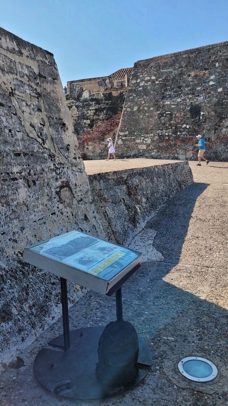
1. Redemption Battery Marker

Subtítulos
1. Panorámica de la Bateria y del primitivo castillo o Bonete. Foto: ETCAR.
2. Aspilleras: Abertura larga y estrecha en un muro, a través de la cual se dispara.
3. Batería: Conjunto de cañones instalados en uno parte especifica y que apunton hacio un area particular.
English:
Captions
1. Panoramic of the Battery and the primitive castle or Bonete. Photo: ETCAR.
2. Loopholes: Long, narrow opening in a wall, through which a shot is fired.
3. Battery: Set of cannons installed in a specific part and pointing towards a particular area.
Erected by Cartagena de Indias Fortifications.
Topics. This historical marker
this page online
Location. 10° 25.346′ N, 75° 32.345′ W. Marker is in Cartagena de Indias, Bolívar, in Municipio de Cartagena. It is in Pie Del Cerro. It can be reached from the intersection of Carrera 17 and Avenida Antonio de Arévalo. The marker is located along the main pathway into the fort near the top of the fort. Touch for map. Marker is at or near this postal address: Carrera 17. Cl 32 #17-85, Cartagena de Indias, Bolívar 130001, Colombia. Touch for directions.

Regionally, it is on the Caribbean Sea, in South America, in a Andean South America country, on the Pacific Rim, and in the Western Hemisphere. Historically, it finds itself in what was once a Spanish colony.
Other nearby markers. At least 8 other markers are within walking distance of this marker: Powder Kegs Warehouses for Artillery (within shouting distance of this marker); Hornabeque Battery (within shouting distance of this marker); Don Blas de Lezo (about 120 meters away, measured in a direct line); Vaults Barracks (approx. 1.2 kilometers away); San Juan Bosco
Photographed by James Hulse, February 4, 2023
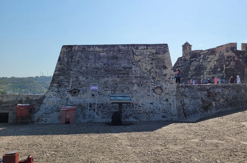
2. Redemption Battery Marker
Photographed by James Hulse, February 4, 2023
3. The view of the Marker at the fort
Photographed by James Hulse, February 4, 2023
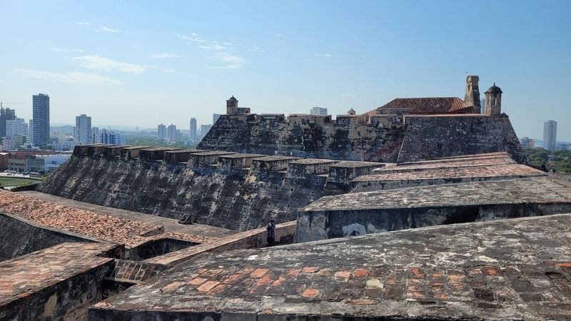
4. View of the top of the castle
Photographed by James Hulse, February 4, 2023
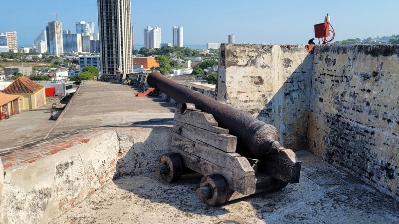
5. One of the cannons at the top of the castle
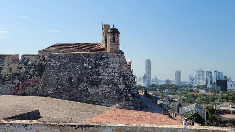
Photographed by James Hulse, February 4, 2023
6. Another view of the top of the castle
Credits. This page was last revised on February 11, 2023. It was originally submitted on February 9, 2023, by James Hulse of Medina, Texas. This page has been viewed 125 times since then and 18 times this year. Photos: 1, 2, 3, 4, 5, 6. submitted on February 10, 2023, by James Hulse of Medina, Texas.
