Bluemont in Arlington in Arlington County, Virginia — The American South (Mid-Atlantic)
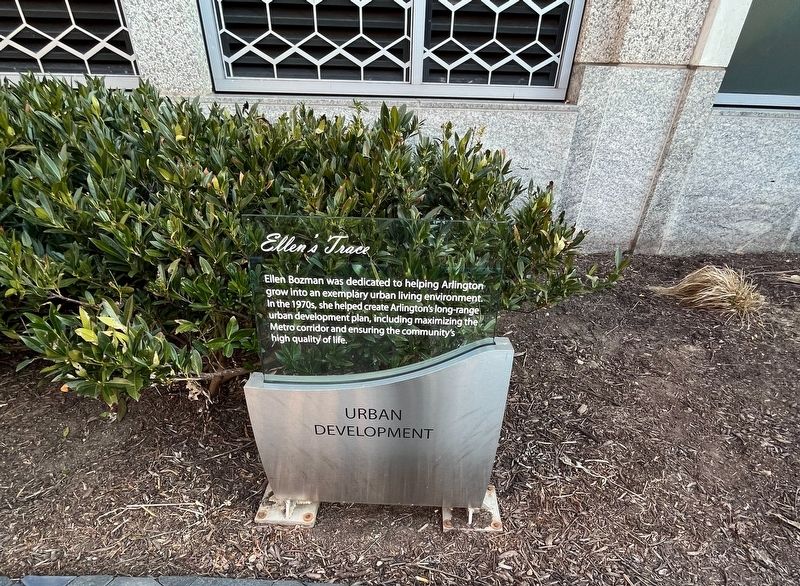
Urban Development
Ellen's Trace
Topics. This historical marker is listed in these topic lists: Charity & Public Work • Railroads & Streetcars • Women.
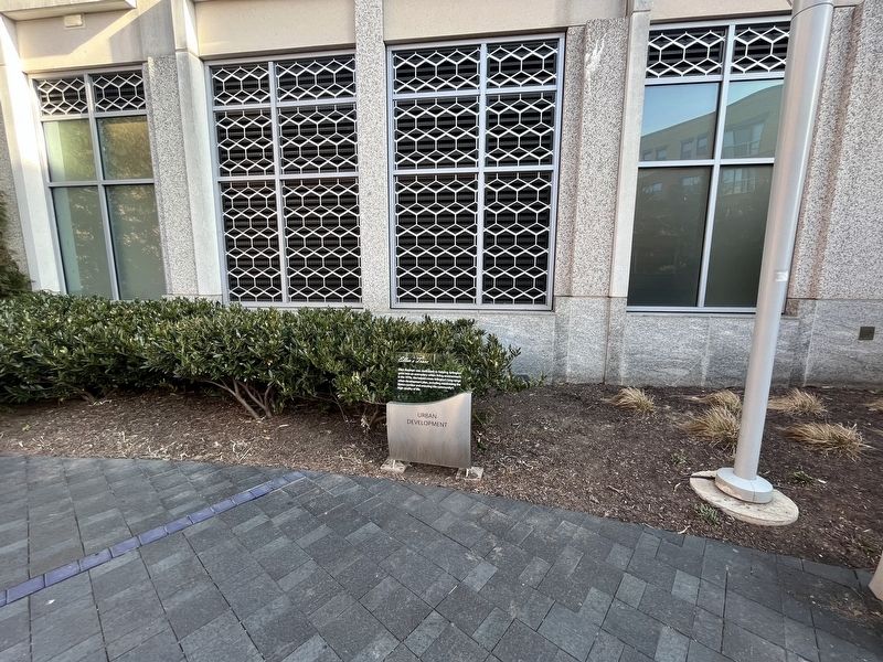
Location. 38° 52.812′ N, 77° 6.931′ W. Marker is in Arlington, Virginia, in Arlington County. It is in Bluemont. It can be reached from Wilson Boulevard west of North Vermont Street, on the right when traveling west. Touch for map. Marker is in this post office area: Arlington VA 22203, United States of America. Touch for directions.

Regionally, this marker is in the Washington Metropolitan Area and in Northern Virginia. It is also in the American South, specifically in the Upper South, in the Mid-Atlantic, and on the Eastern Seaboard. Globally, it is in the North Atlantic Region, North America, the Western Hemisphere, the Western World, and the Anglosphere. Historically,
this page online
Other nearby markers. At least 8 other markers are within walking distance of this marker: Health & Welfare (a few steps from this marker); Peck Chevrolet (within shouting distance of this marker); Human Rights (within shouting distance of this marker); Ellen Bozman (within shouting distance of this marker); Ball's Crossroads (about 700 feet away, measured in a direct line); Lacey Car Barn (about 800 feet away); The Blue Goose (about 800 feet away); Glebe Road & Ballston / Marymount University (approx. 0.2 miles away). Touch for a list and map of all markers in Arlington.
Credits. This page was last revised on March 18, 2023. It was originally submitted on February 12, 2023, by Devry Becker Jones of Washington, District of Columbia. This page has been viewed 549 times since then and 14 times this year. Photos: 1, 2. submitted on February 12, 2023, by Devry Becker Jones of Washington, District of Columbia.
