Near Empire in Walker County, Alabama — The American South (East South Central)
Black Warrior Town
⎯⎯⎯
The Escape
Photographed by Duane and Tracy Marsteller, February 11, 2023
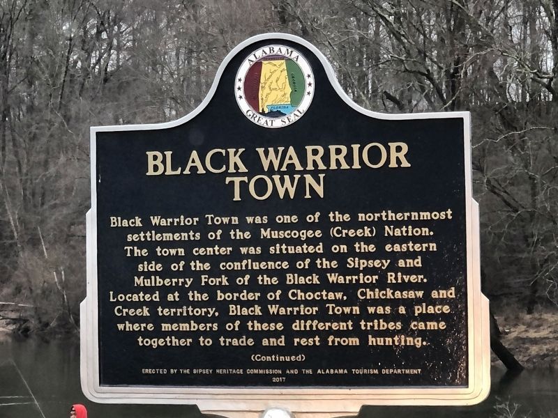
1. Black Warrior Town / The Escape side of marker
Black Warrior Town Black Warrior Town was one of the northernmost settlements of the Muscogee (Creek) Nation. The town center was situated on the eastern side of the confluence of the Sipsey and Mulberry Fork of the Black Warrior River. Located at the border of Choctaw, Chickasaw and Creek territory, Black Warrior Town was a place where members of these different tribes came together to trade and rest from hunting.
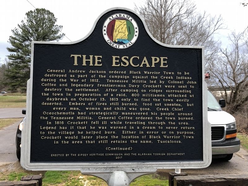
The Escape General Andrew Jackson ordered Black Warrior Town to be destroyed as part of the campaign against the Creek Indians during the War of 1812. Tennessee Militia led by Colonel John Coffee and legendary frontiersman Davy Crockett were sent to destroy the settlement. After camping on ridges surrounding the town in preparation of a raid, 800 militiamen attacked at daybreak on October 13, 1813 only to find the town eerily deserted. Embers of fires still burned, food sat uneaten, but every man, woman and child was gone. Creek Chief Oceochemotla had strategically maneuvered his people around the Tennessee Militia. General Coffee ordered the town burned. In 1816 Crockett fell ill while traveling through
this page online
Erected 2017 by Sipsey Heritage Commission • Alabama Tourism Department.
Topics and series. This historical marker is listed in these topic lists: Indigenous Peoples and Communities • War of 1812. In addition, it is included in the Alabama Tourism Department series list. A significant historical date for this entry is October 13, 1813.
Location. 33° 48.966′ N, 87° 3.45′ W. Marker is near Empire, Alabama, in Walker County. It can be reached from the intersection of Sipsey Road (County Road 22) and Old Town Road, on the right when traveling east. Marker is in the Mulberry Fork Fishing Area. Touch for map. Marker is at or near this postal address: 5840 Sipsey Rd, Empire AL 35063, United States of America. Touch for directions.

Regionally, this marker is in the Birmingham Metropolitan Area. It is also in the American South and specifically in the Deep South. Globally, it is in North America,
Photographed by Duane and Tracy Marsteller, February 11, 2023
2. The Escape side of marker
Other nearby markers. At least 8 other markers are within 14 miles of this marker, measured as the crow flies: Town of Sipsey (approx. 1.9 miles away); Union Chapel Cemetery (approx. 7.1 miles away); Union Chapel Methodist Episcopal Church Cemetery (approx. 7.1 miles away); City Of Cordova (approx. 8.2 miles away); West Jefferson High School (approx. 11.6 miles away); Daily Mountain Eagle (approx. 11.8 miles away); Graham Cemetery (approx. 13.4 miles away); Town of Cardiff (approx. 13.7 miles away).
Also see . . .
1. History. Additional information has since surfaced about how the Creeks outmaneuvered the militia. (Sipsey Heritage Commission) (Submitted on February 12, 2023, by Duane and Tracy Marsteller of Murfreesboro, Tennessee.)
2. Black Warrior Town. According to a letter by Andrew Jackson, the Creeks at Black Warrior Town were refugees from a Chickamauga
Photographed by Duane and Tracy Marsteller, February 11, 2023
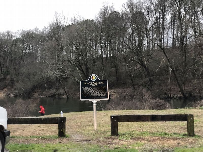
3. Black Warrior Town / The Escape Marker
Photographed by Jimmy Emerson, June 14, 2026
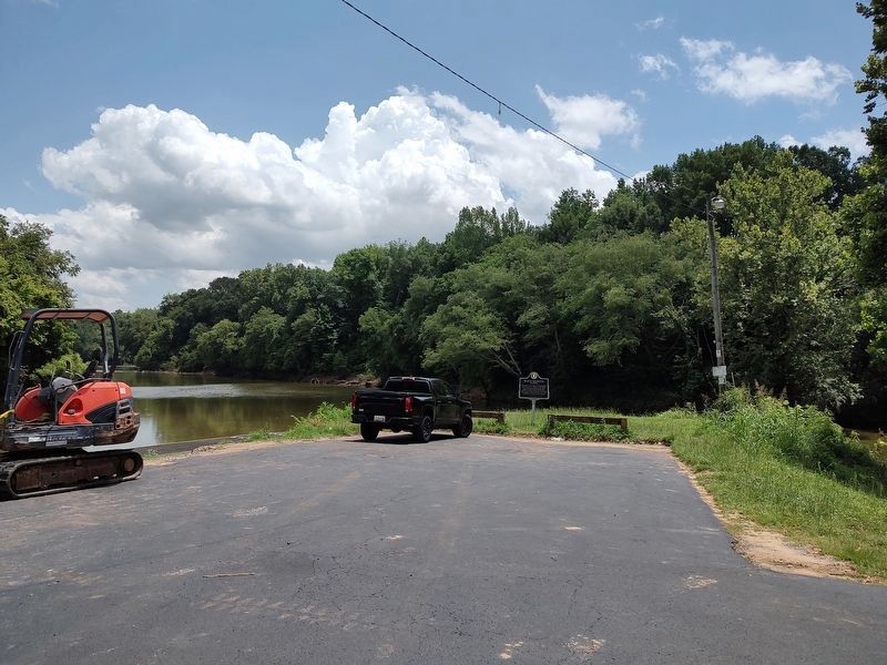
4. Black Warrior Town / The Escape Marker
It's located at the boat ramp into the Sipsey River.
Credits. This page was last revised on June 17, 2026. It was originally submitted on February 12, 2023, by Duane and Tracy Marsteller of Murfreesboro, Tennessee. This page has been viewed 2,575 times since then and 310 times this year. Photos: 1, 2, 3. submitted on February 12, 2023, by Duane and Tracy Marsteller of Murfreesboro, Tennessee. 4. submitted on June 14, 2026, by Jimmy Emerson of Dalton, Georgia.
