High Point in Guilford County, North Carolina — The American South (South Atlantic)
Springfield Friends Meeting
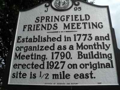
Photographed by Bill Coughlin, August 10, 2012
1. Springfield Friends Meeting Marker
Erected 1991 by Division of Archives and History. (Marker Number J-95.)
Topics and series. This historical marker is listed in these topic lists: Colonial Era • Religion & Religious Structures. In addition, it is included in the North Carolina Division of Archives and History, and the Quakerism series lists. A significant historical year for this entry is 1773.
Location. 35° 55.456′ N, 79° 58.915′ W. Marker is in High Point, North Carolina, in Guilford County. It is at the intersection of South Main Street (North Carolina Route 1993) and East Fairfield Road ( Route 610), on the right when traveling north on South Main Street. Touch for map. Marker is at or near this postal address: 2805 S Main St, High Point NC 27263, United States of America. Touch for directions.

Regionally, this marker is in the Piedmont and specifically in Piedmont Triad. It is also in the American South and specifically in the Upper South. Globally, it is in North America, the Western Hemisphere, the Western World,
this page online
Other nearby markers. At least 8 other markers are within 3 miles of this marker, measured as the crow flies: Model Farm (approx. 0.8 miles away); Mustering out of Confederate Army (approx. 0.9 miles away); Golfers Protest (approx. 1.2 miles away); Trinity Cemetery (approx. 1½ miles away); Highland Cotton Mills Village (approx. 1.6 miles away); Trinity College (approx. 2.1 miles away); The Trinity College Memorial Gazebo / The History of Trinity College — Duke University (approx. 2.1 miles away); a different marker also named Trinity College (approx. 2.1 miles away). Touch for a list and map of all markers in High Point.
Another marker is no longer nearby. Trinity College (was approx. 2.1 miles away but has been replaced with another marker now near it).
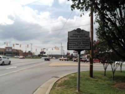
Photographed by Bill Coughlin, August 10, 2012
2. Springfield Friends Meeting Marker
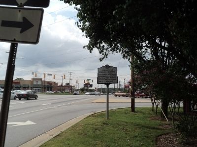
Photographed by Bill Coughlin, August 10, 2012
3. Springfield Friends Meeting Marker
Credits. This page was last revised on February 13, 2023. It was originally submitted on August 10, 2012, by Bill Coughlin of Woodland Park, New Jersey. This page has been viewed 737 times since then and 33 times this year. Last updated on February 13, 2023, by Michael Buckner of Durham, North Carolina. Photos: 1, 2, 3. submitted on August 10, 2012, by Bill Coughlin of Woodland Park, New Jersey. • Bernard Fisher was the editor who published this page.
