Clawson in Oakland County, Michigan — The American Midwest (Great Lakes)
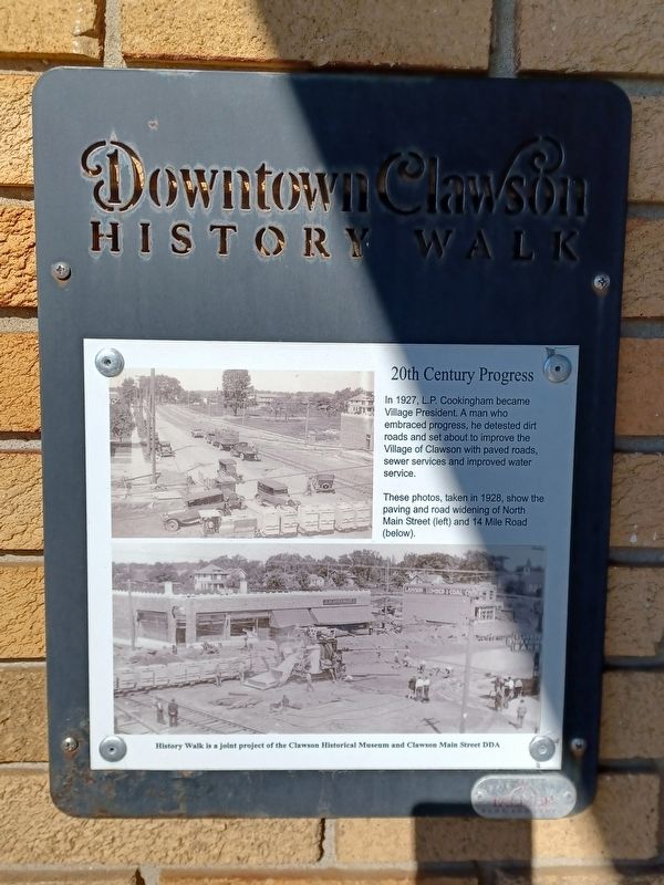
20th Century Progress
Downtown Clawson History Walk
In 1927, L.P. Cookingham became Village President. A man who embraced progress, he detested dirt roads and set about to improve the Village of Clawson with paved roads, sewer services and improved water service.
These photos, taken in 1928, show the paving and road widening of North Main Street (left) and 14 Mile Road (below).
History Walk is a joint project of the Clawson Historical Museum and Clawson Main Street DDA
Erected by Clawson Historical Museum and Clawson Main Street DDA.
Topics. This historical marker is listed in this topic list: Roads & Vehicles. A significant historical year for this entry is 1927.
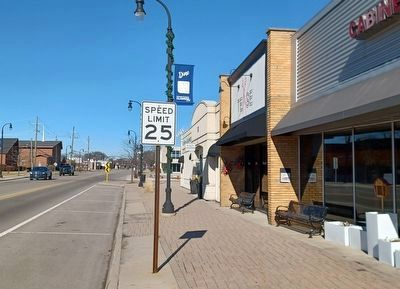
Location. 42° 32.037′ N, 83° 8.769′ W. Marker is in Clawson, Michigan, in Oakland County. Marker is on North Main Street north of 14 Mile Road, on the right when traveling north. Touch for map. Marker is at or near this postal address: 38 North Main Street, Clawson MI 48017, United States of America. Touch for directions.
Other nearby markers. At least 8 other markers are within walking distance of this marker. Interurban Railroads in Michigan 1899-1931 (within shouting distance of this marker); 1 East 14 Mile (within shouting distance of this marker); The Interurban 1899-1931 (within shouting distance of this marker); The Evolution of a Corner, 1860-1940 (within shouting distance of this marker); Bower's Mill 1919 (within shouting distance of this marker); Clawson State Savings Bank (within shouting distance of this marker); Evolution of a Corner, 1900-1940 (within shouting distance of this marker); Clawson's Oldest Commercial Building (about 300 feet away, measured in a direct line). Touch for a list and map of all markers in Clawson.
Credits. This page was last revised on February 14, 2023. It was originally submitted on February 14, 2023, by Joel Seewald of Madison Heights, Michigan. This page has been viewed 70 times since then and 14 times this year. Photos: 1, 2. submitted on February 14, 2023, by Joel Seewald of Madison Heights, Michigan.

