Watson Township near Jersey Shore in Lycoming County, Pennsylvania — The American Northeast (Mid-Atlantic)
Pine Creek's Path Through History
— Pine Creek Rail Trail —
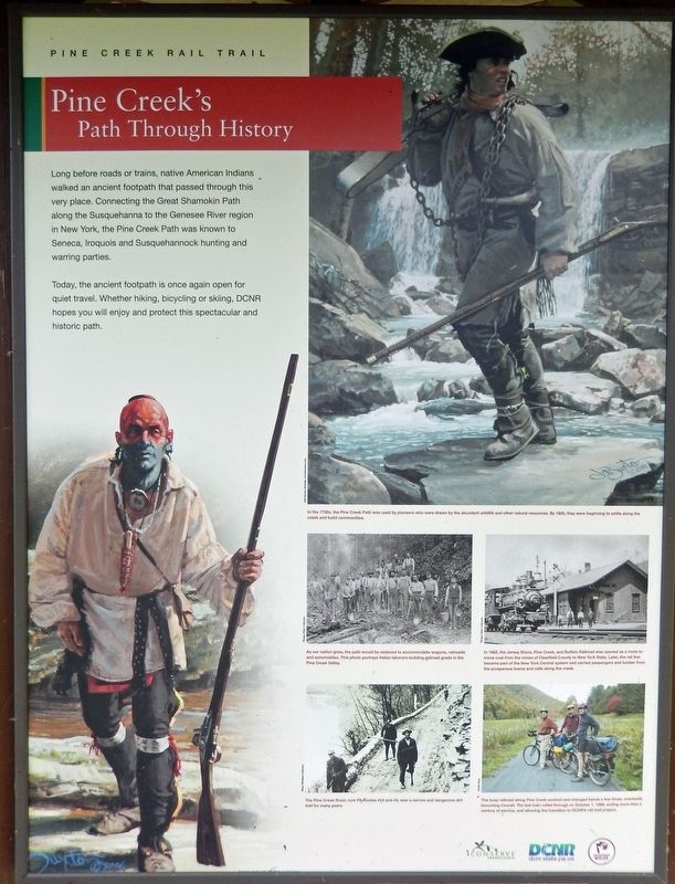
Long before roads or trains, native American Indians walked an ancient footpath that passed through this very place. Connecting the Great Shamokin Path along the Susquehanna to the Genesee River region in New York, the Pine Creek Path was known to Seneca, Iroquois and Susquehannock hunting and warring parties.
Today, the ancient footpath is once again open for quiet travel. Whether hiking, bicycling or skiing, DCNR hopes you will enjoy and protect this spectacular and historic path.
Erected by Pennsylvania Department of Conservation and Natural Resources.
Topics. This historical marker is listed in these topic lists: Native Americans • Parks & Recreational Areas • Railroads & Streetcars • Settlements & Settlers.
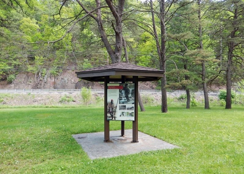
Location. 41° 13.268′ N, 77° 19.167′ W. Marker is near Jersey Shore, Pennsylvania, in Lycoming County. It is in Watson Township. Marker can be reached from Pennsylvania Route 44, 0.1 miles north of Furnace Run Road, on the left when traveling north. Marker is mounted on an interpretive kiosk on the southeast side of the Pine Creek Rail Trail Whitetail Trailhead parking lot. Touch for map. Marker is in this post office area: Jersey Shore PA 17740, United States of America. Touch for directions.
Other nearby markers. At least 8 other markers are within 4 miles of this marker , measured as the crow flies. Glacier to Gorge (here, next to this marker); Tiadaghton Elm (approx. 2.1 miles away); Pine Creek Presbyterian Church (approx. 3 miles away); Jersey Shore Cemetery War Memorial (approx. 3.1 miles away); a different marker also named Pine Creek Presbyterian Church (approx. 3˝ miles away); a different marker also named Tiadaghton Elm (approx. 3.6 miles away); War Memorial (approx. 3.6 miles away); Spanish-American War Memorial (approx. 3.6 miles away). Touch for a list and map of all markers in Jersey Shore.
Also see . . .
1. Pine Creek Path.
The path was used by Iroquois warriors on their war raids to points south. Some isolated bands of Native Americans remained in the Pine Creek Gorge until the War of 1812. When lumbering become a major industry along Pine Creek in the 19th century, the path was used by lumbermen. They would take rafts of lumber in the spring down Pine Creek from Ansonia to Jersey Shore, and then walk back north along the path. Attempts to convert the path into a wagon road early in the same century were unsuccessful – when John Peet tried it he said it took 18 days, crossed Pine Creek "eighty times going to and eighty times coming from", lost a wheel, broke two axles, and upset the wagon twice.(Submitted on February 16, 2023, by Cosmos Mariner of Cape Canaveral, Florida.)
2. Pine Creek Rail Trail.
The Pine Creek Trail in Pine Creek Gorge offers travelers a spectacular, 62-mile journey through the area commonly referred to as the Grand Canyon of Pennsylvania. Relatively flat, the trail runs from Ansonia south to Jersey Shore, Pa., traversing Tioga and Tiadaghton State Forest lands. For 55 of its 62 miles, it hugs Pine Creek, providing great views of dramatic rock outcrops and numerous waterfalls.(Submitted on February 16, 2023, by Cosmos Mariner of Cape Canaveral, Florida.)
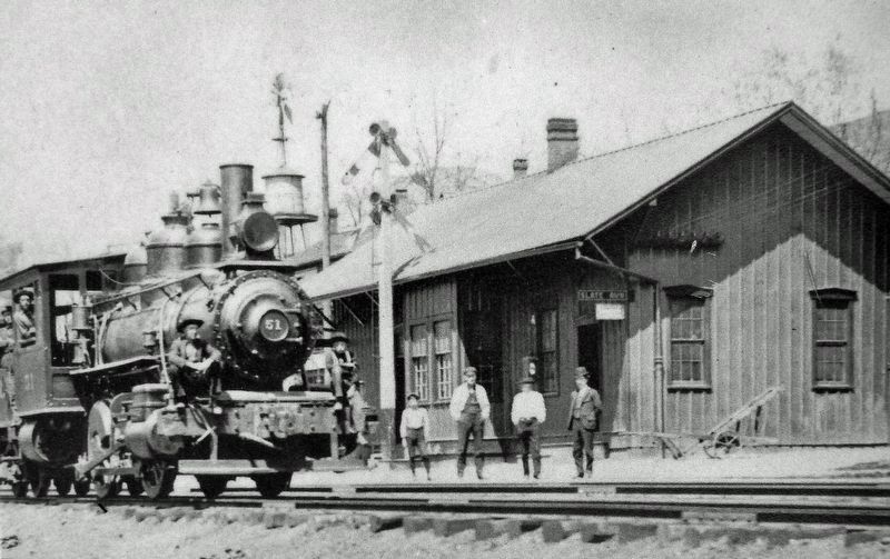
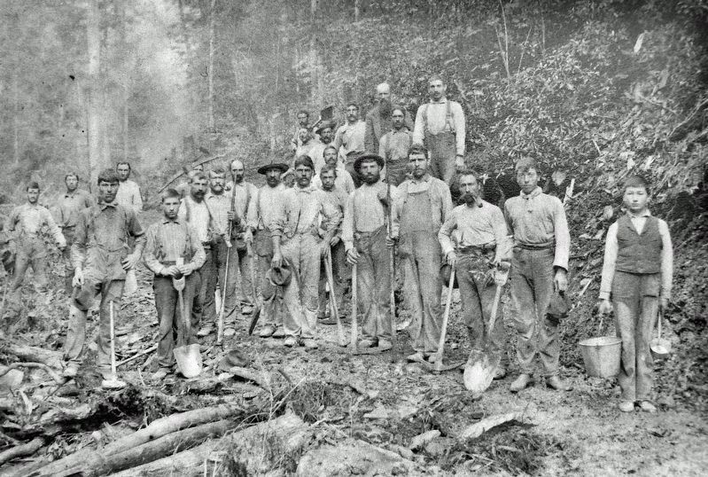
Thomas Taber Collection
4. Marker detail: Slate Run Railroad Station
In 1883, the Jersey Shore, Pine Creek, and Buffalo Railroad was opened as a route to move coal from the mines of Clearfield County to New York State. Later, the rail line became part of the New York Central system and carried passengers and lumber from the prosperous towns and mills along the creek.

Courtesy DCNR
6. Marker detail: Pine Creek Rail Trail
The busy railroad along Pine Creek evolved and changed hands a few times, eventually becoming Conrail. The last train rolled through on October 7, 1988, ending more than a century of service, and allowing the transition to DCNR's rail trail project.
Credits. This page was last revised on February 16, 2023. It was originally submitted on February 15, 2023, by Cosmos Mariner of Cape Canaveral, Florida. This page has been viewed 380 times since then and 104 times this year. Photos: 1. submitted on February 15, 2023, by Cosmos Mariner of Cape Canaveral, Florida. 2, 3, 4, 5, 6, 7. submitted on February 16, 2023, by Cosmos Mariner of Cape Canaveral, Florida.
