Southeast Tampa in Hillsborough County, Florida — The American South (South Atlantic)
Charles Lafayette Knight
"Charley"
| — | May 31, 1928 - March 25, 1996 | — |

Photographed by Tim Fillmon, May 20, 2026
1. Charles Lafayette Knight Marker
After restoration and in new location
In later years Charley Knight always felt the potential use of the island was far better than just the storage yard and railroad distribution center than it had become. Often referred to as the founding father of Harbour Island, Charley Knight envisioned an upscale commercial and residential development creating Tampa's new urban community; a vision that became reality when Beneficial Corporation acquired the island in 1979. "Knight's Point" is a tribute to his perseverance and dreams for the future of Tampa and this island.
in cooperation with Harbour Island Inc.
Erected 1998
this page online
Topics. This historical marker is listed in these topic lists: Anthropology & Archaeology • Indigenous Peoples and Communities • Industry & Commerce • Railroads & Streetcars. A significant historical date for this entry is January 23, 1836.
Location. 27° 56.311′ N, 82° 27.008′ W. Marker is in Tampa, Florida, in Hillsborough County. It is in Southeast Tampa. It is on South Beneficial Drive just north of Knights Run Avenue, on the right when traveling south. Marker was moved from previous position in Knight's Point onto the ROW a few blocks east. It has been restored. Touch for map. Marker is in this post office area: Tampa FL 33602, United States of America. Touch for directions.

Regionally, this marker is on Tampa Bay. It is also in the American South and on the Gulf Coast. Globally, it is in the North Atlantic Region, North America, a Gulf of Mexico state, the Western Hemisphere, the Western World, and the Anglosphere. Historically, it finds itself in what was once New Spain, the territory of the Mississippian Culture, one of the Confederate States

Photographed by Tim Fillmon, May 20, 2026
2. Charles Lafayette Knight Marker
After restoration and at new location in the ROW.
Other nearby markers. At least 8 other markers are within walking distance of this marker: Royal Yacht Britannia (approx. 0.3 miles away); Site of Fort Brooke (approx. 0.4 miles away); Gordon Keller (approx. half a mile away); Site of Mirabella Fish Company (approx. half a mile away); Dixie Lily Milling Company & Florida Central & Peninsular Railroad (approx. 0.6 miles away); The Bayshore Boulevard (approx. 0.6 miles away); Jose Gasparilla (approx. 0.6 miles away); World's First Scheduled Commercial Airline (approx. 0.6 miles away). Touch for a list and map of all markers in Tampa.
Other markers no longer nearby. Timuquan Indian Mound (was approx. half a mile away but has been permanently removed); Captain Joseph Fry (was approx. half a mile away but has been confirmed missing); Fort Brooke-Confederate Battery (was approx. 0.6 miles away but has been permanently removed).
More about this marker. It is capped with the crest of the Tampa Historical Society.
Regarding Charles Lafayette Knight. Knight's Point is a commercial, retail, and professional office complex which includes
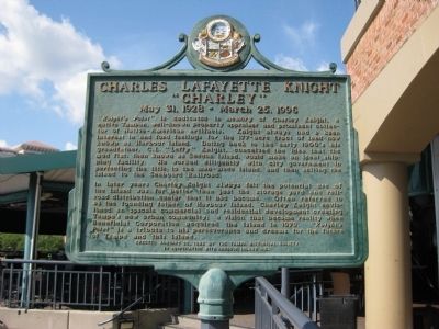
Photographed by AGS Media, July 31, 2010
3. Charles Lafayette Knight Marker
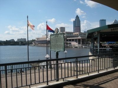
Photographed by AGS Media, July 31, 2010
4. Charles Lafayette Knight Marker
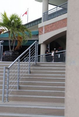
Photographed by Dave W, February 11, 2023
5. Charles Lafayette Knight Marker (missing)
You can see the pole where the marker used to be at the top of the stairs.
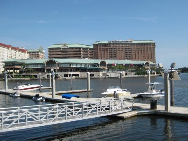
Photographed by AGS Media, July 31, 2010
6. Knight's Point on Harbour Island
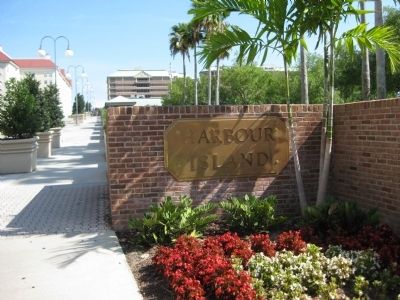
Photographed by AGS Media, July 31, 2010
7. Harbour Island Sign
Credits. This page was last revised on May 25, 2026. It was originally submitted on September 24, 2010, by Glenn Sheffield of Tampa, Florida. This page has been viewed 1,668 times since then and 91 times this year. Last updated on February 17, 2023, by Dave W of Co, Colorado. Photos: 1, 2. submitted on May 25, 2026, by Tim Fillmon of Webster, Florida. 3, 4. submitted on September 24, 2010, by Glenn Sheffield of Tampa, Florida. 5. submitted on February 17, 2023, by Dave W of Co, Colorado. 6. submitted on September 27, 2010, by Glenn Sheffield of Tampa, Florida. 7. submitted on September 24, 2010, by Glenn Sheffield of Tampa, Florida. • Bill Pfingsten was the editor who published this page.
