Shockoe Slip in Richmond, Virginia — The American South (Mid-Atlantic)
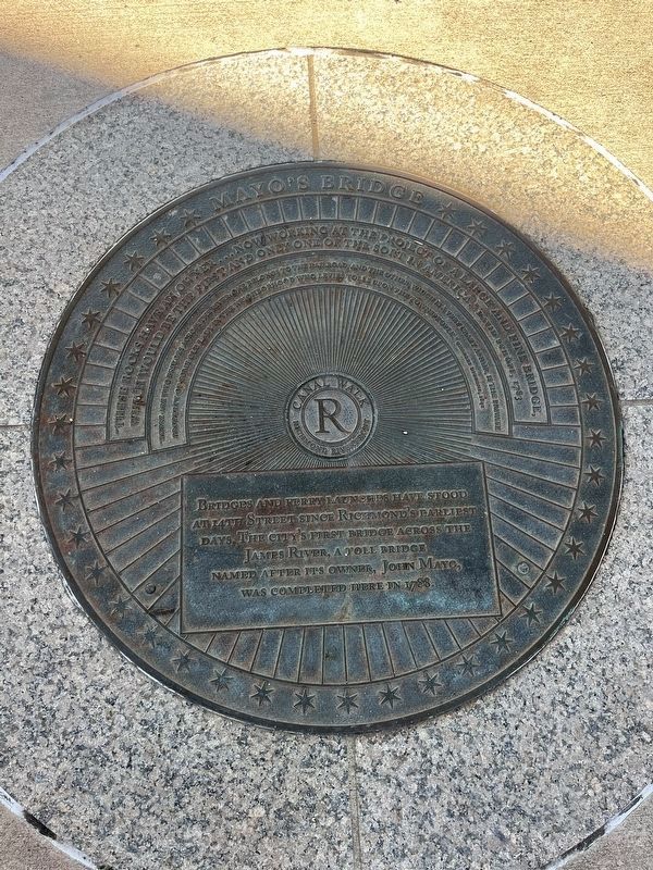
Mayo's Bridge
Canal Walk
— Richmond Riverfront —
Bridges and ferry launches have stood at 14th Street since Richmond's earliest days. The city's first bridge across the James River, a toll bridge named after its owner, John Mayo, was completed here in 1788.
"These rocks have an owner…now working at the project of a large and fine bridge, which would be the first and only one of the sort in America." David Schöpf, 1783
"There are two bridges across the river: one belongs to the railroad, and the other, which is a very crazy affair, is the private property of some old lady in the neighborhood who levies tolls upon the townspeople." Charles Dickens, 1842
Erected by Canal Walk, Richmond Riverfront.
Topics. This historical marker is listed in these topic lists: Bridges & Viaducts • Industry & Commerce • Waterways & Vessels. A significant historical year for this entry is 1788.
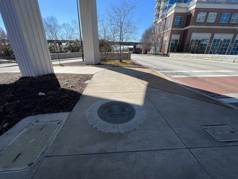
Location. 37° 31.988′ N, 77° 25.958′ W. Marker is in Richmond, Virginia. It is in Shockoe Slip. Marker is at the intersection of Canal Walk and South 14th Street (U.S. 360), on the right when traveling west on Canal Walk. Touch for map. Marker is at or near this postal address: 1512 Canal Walk, Richmond VA 23219, United States of America. Touch for directions.
Other nearby markers. At least 8 other markers are within walking distance of this marker . Burnt District (within shouting distance of this marker); Shockoe Slip (within shouting distance of this marker); Early Shockoe (within shouting distance of this marker); Use of Arms (within shouting distance of this marker); George Washington’s Vision (within shouting distance of this marker); Atlantic Sturgeon (within shouting distance of this marker); New Turning Basin (within shouting distance of this marker); James River & Kanawha Canal (within shouting distance of this marker). Touch for a list and map of all markers in Richmond.
Credits. This page was last revised on February 19, 2023. It was originally submitted on February 19, 2023, by Devry Becker Jones of Washington, District of Columbia. This page has been viewed 114 times since then and 24 times this year. Photos: 1, 2. submitted on February 19, 2023, by Devry Becker Jones of Washington, District of Columbia.

