Berwyn Heights in Prince George's County, Maryland — The American Northeast (Mid-Atlantic)
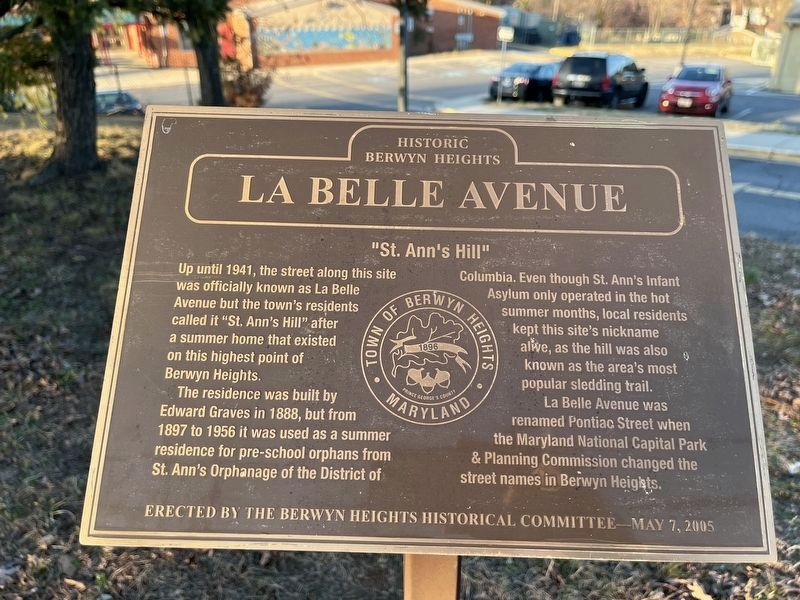
La Belle Avenue
Historic Berwyn Heights
"St. Ann's Hill"
Up until 1941, the street along this site was officially known as La Belle Avenue but the town's residents called it "St. Ann's Hill" after a summer home that existed on this highest point of Berwyn Heights.
The residence was built by Edward Graves in 1888, but from 1897 to 1956, it was used as a summer residence for pre-school orphans from St. Ann's Orphanage of the District Columbia. Even though St. Ann's Infant Asylum only operated in the hot summer months, local residents kept this site's nickname alive as the hill was also known as the area's most popular sledding trail.
La Belle Avenue was renamed Pontiac Street when the Maryland National Capital Park & Planning Commission changed the street names in Berwyn Heights.
Erected 2005 by The Berwyn Heights Historical Committee.
Topics. This historical marker is listed in these topic lists: Charity & Public Work • Natural Features • Notable Places • Roads & Vehicles. A significant historical year for this entry is 1941.
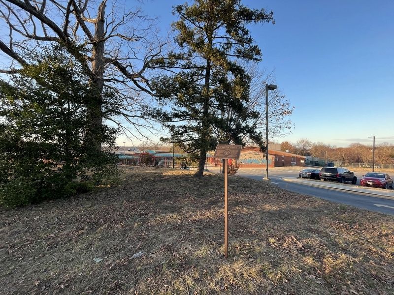
Location. 38° 59.486′ N, 76° 54.545′ W. Marker is in Berwyn Heights, Maryland, in Prince George's County. Marker is on Pontiac Street west of 63rd Avenue, on the right when traveling west. Touch for map. Marker is at or near this postal address: 6201 Pontiac St, College Park MD 20740, United States of America. Touch for directions.
Other nearby markers. At least 8 other markers are within walking distance of this marker. Schools of Berwyn Heights (within shouting distance of this marker); Town of Berwyn Heights (approx. 0.2 miles away); Carrington Avenue (approx. 0.2 miles away); Edmonston Road (approx. 0.2 miles away); Charlton Avenue (approx. 0.3 miles away); Berwyn Heights Association (approx. 0.3 miles away); Duncanson Avenue (approx. 0.3 miles away); Washington Spa Spring & Gretta Railroad (approx. 0.4 miles away). Touch for a list and map of all markers in Berwyn Heights.
Credits. This page was last revised on February 20, 2023. It was originally submitted on February 20, 2023, by Devry Becker Jones of Washington, District of Columbia. This page has been viewed 48 times since then and 7 times this year. Photos: 1, 2. submitted on February 20, 2023, by Devry Becker Jones of Washington, District of Columbia.

