Pikeville in Van Buren County, Tennessee — The American South (East South Central)
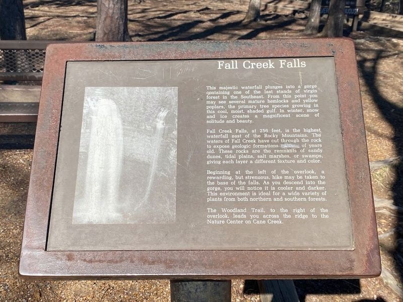
Fall Creek Falls
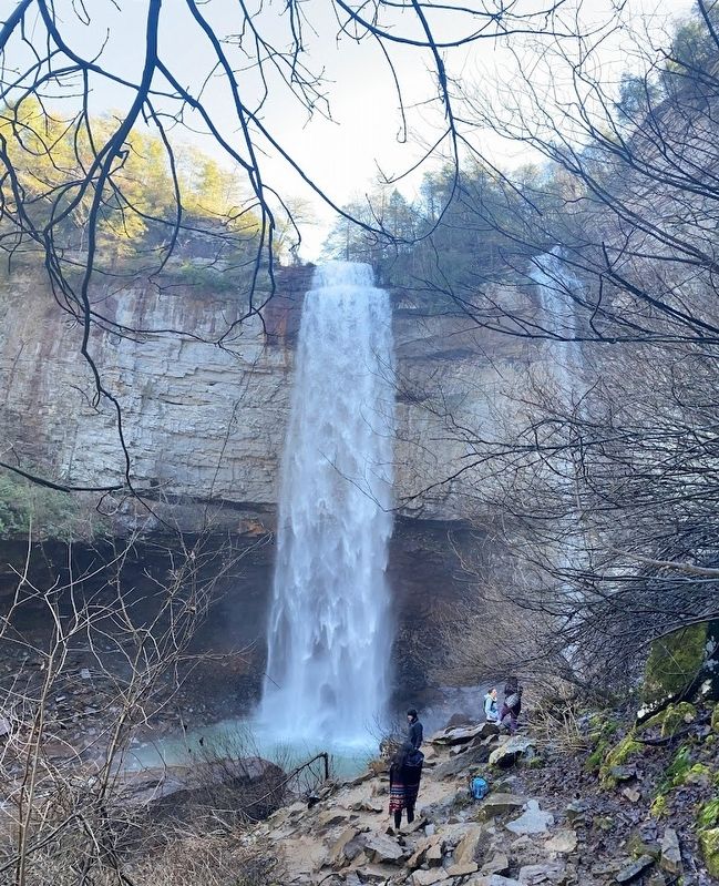
This majestic waterfall plunges into a gorge containing one of the last stands of virgin forest in the Southeast. From this point you may see several mature hemlocks and yellow poplars, the primary tree species growing in this cool, moist, shaded gulf. In winter, snow and ice creates a magnificent scene: of solitude and beauty.
Fall Creek Falls, at 256 feet. is the highest waterfall east of the Rocky Mountains. The waters of Fall Creek have cut through the rock to expose geologic formations of years old. These rocks are the remnants of sandy dunes, tidal plains, salt marshes, or swamps, giving each layer a different texture and color.
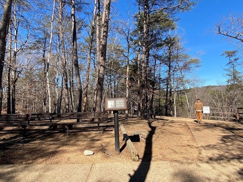
Beginning at the left of the overlook, a rewarding, but strenuous, hike may be taken to the base of the falls. As you descend into the gorge, you will notice it is cooler and darker. This environment is ideal for a wide variety of plants from both northern and southern forests.
The Woodland Trail, to the right of the overlook, leads you across the ridge to the Nature Center on Cane Creek.
Topics. This historical marker is listed in this topic list: Natural Features.
Location. 35° 40.025′ N, 85° 21.379′ W. Marker is in Pikeville, Tennessee, in Van Buren County. Marker can be reached from Scenic Loop Road. Touch for map. Marker is in this post office area: Spencer TN 38585, United States of America. Touch for directions.
Other nearby markers. At least 8 other markers are within 9 miles of this marker, measured as the crow flies. Gilbert Gaul, Civil War Painter (approx. 1.3 miles away); War on the Plateau (approx. 8.1 miles away); Burritt College (approx. 8.1 miles away); Van Buren County Civil War Monument (approx. 8.3 miles away); Van Buren County Veterans Memorial (approx. 8.4 miles away); Van Buren County Veterans Monument (approx. 8.4 miles away); Trail of Tears (approx. 8˝ miles away); Camp Forrest (approx. 8˝ miles away).
Credits. This page was last revised on February 23, 2023. It was originally submitted on February 20, 2023, by Darren Jefferson Clay of Duluth, Georgia. This page has been viewed 78 times since then and 12 times this year. Photos: 1, 2, 3. submitted on February 20, 2023, by Darren Jefferson Clay of Duluth, Georgia. • Bill Pfingsten was the editor who published this page.


