East Donegal Township in Maytown in Lancaster County, Pennsylvania — The American Northeast (Mid-Atlantic)
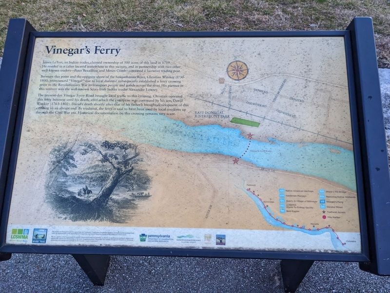
Vinegar's Ferry
Between this point and the opposite shore of the Susquehanna River, Christian Winiker (1730-1800: pronounced "Vinegar” due to local dialects) subsequently established a ferry crossing prior to the Revolutionary War to transport people and goods across the river. His partner in this venture was the well-known Scots-Irish Indian trader Alexander Lowrey.
The present-day Vinegar Ferry Road brought local traffic to this crossing. Christian operated this ferry business until his death, after which the enterprise was continued by his son, David Winiker (1763-1802). David's death shortly after that of his father's brought development of this crossing to an abrupt end. By tradition, the ferry is said to have been used by local residents up through the Civil War era. Historical documentation on this crossing remains very scant.
Topics. This historical marker is listed in these topic lists: Colonial Era • Industry & Commerce • Settlements & Settlers • Waterways & Vessels. A significant historical year for this entry is 1719.
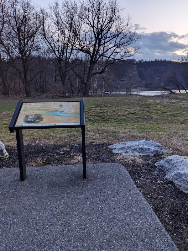
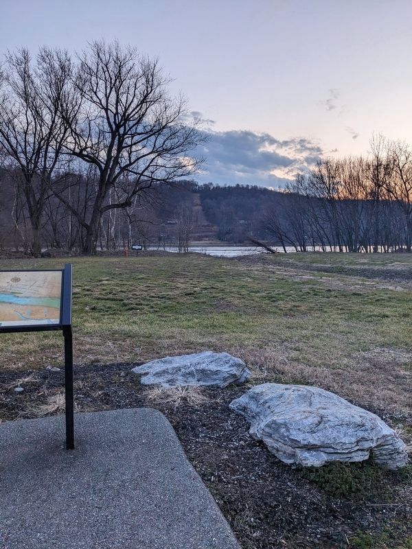
Location. 40° 3.503′ N, 76° 36.378′ W. Marker is in Maytown, Pennsylvania, in Lancaster County. It is in East Donegal Township. Marker is on Vinegar Ferry Road, 0.2 miles west of Old River Road, on the right when traveling west. Marker is at the end of Vinegar Ferry Road at the exit of the parking lot for Riverfront Park. Touch for map. Marker is at or near this postal address: 551 Vinegar Ferry Road, Marietta PA 17547, United States of America. Touch for directions.
Other nearby markers. At least 8 other markers are within 3 miles of this marker, measured as the crow flies. Hunting on the Atlantic Flyway (approx. ¼ mile away); Simon Cameron (approx. 1.7 miles away); In honor of those who served in the World War (approx. 1.7 miles away); Maytown (approx. 1.7 miles away); In honor of those who served our country in Korea & Vietnam (approx. 1.7 miles away); Honor Roll (approx. 1.7 miles away); Decatur Street (approx. 2 miles away); Codorus Furnace (approx. 2.6 miles away). Touch for a list and map of all markers in Maytown.
Credits. This page was last revised on February 22, 2023. It was originally submitted on February 20, 2023, by William Pope of Marietta, Pennsylvania. This page has been viewed 235 times since then and 70 times this year. Photos: 1, 2, 3. submitted on February 20, 2023, by William Pope of Marietta, Pennsylvania. • Bill Pfingsten was the editor who published this page.


