Near Spanish Lake in St. Louis County, Missouri — The American Midwest (Upper Plains)
Columbia Bottom Conservation Area
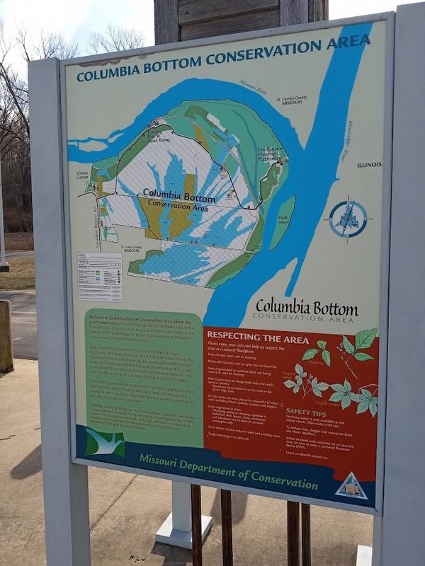
In the bottomland you'll find 6.5 miles of river frontage, croplands, 800 acres of forests and a 110-acre island. Wetlands, hardwood forests and prairie are designed as blended habitats to attract migrating waterfowl as well as wetland wildlife. Learn more about the area's habitats at the Exploration Stations (see map) and by picking up a Passport Book at the Visitor Center.
Surrounding most of the bottomlands is a flood protection levee. Even with the levee, flooding will occur here and may restrict access to some locations. During migration seasons, portions of the area may have limited access.
Erected by Missouri Department of Conservation.
Topics. This historical marker is listed in these topic lists: Horticulture & Forestry • Parks & Recreational Areas. A significant historical year for this entry is 1997.
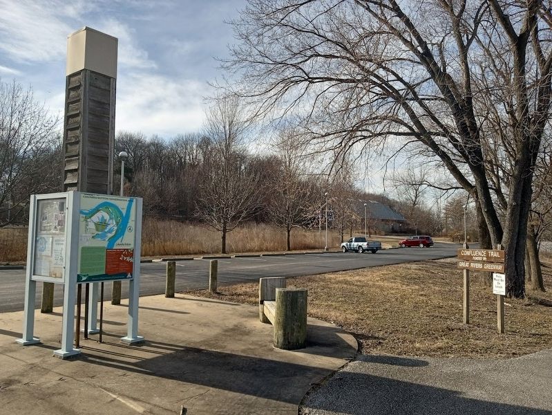
Location. 38° 48.61′ N, 90° 10.98′ W. Marker is near Spanish Lake, Missouri, in St. Louis County. Marker can be reached from the intersection of Strodtman Road and Madison Ferry Road. Marker is located on the grounds of Columbia Bottom Conservation Area, near the Visitors Center at the end of the River's Edge Trail. Touch for map. Marker is at or near this postal address: 801 Strodtman Rd, Saint Louis MO 63138, United States of America. Touch for directions.
Other nearby markers. At least 8 other markers are within 3 miles of this marker, measured as the crow flies. Spanish Lake (approx. 1˝ miles away); Fort Belle Fontaine (approx. 2 miles away); a different marker also named Fort Belle Fontaine (approx. 2.1 miles away); The Lewis and Clark Expedition (approx. 2.1 miles away); Welcome to Fort Belle Fontaine (approx. 2.1 miles away); Belle Fontaine - Beautiful Fountain (approx. 2.2 miles away); a different marker also named Fort Belle Fontaine (approx. 2.4 miles away); The Twillman House (approx. 2˝ miles away). Touch for a list and map of all markers in Spanish Lake.
Also see . . .
1. Columbia Bottom Conservation Area (MO Department of Conservation). Contains maps and general information of the park. As of early 2023, however, some parts of the area have limited access due to past flood damage. (Submitted on February 21, 2023, by Jason Voigt of Glen Carbon, Illinois.)
2. Columbia Bottom Conservation Area on Wikipedia. (Submitted on February 21, 2023, by Jason Voigt of Glen Carbon, Illinois.)
Credits. This page was last revised on February 21, 2023. It was originally submitted on February 21, 2023, by Jason Voigt of Glen Carbon, Illinois. This page has been viewed 94 times since then and 21 times this year. Photos: 1, 2. submitted on February 21, 2023, by Jason Voigt of Glen Carbon, Illinois.

