Lafayette in Contra Costa County, California — The American West (Pacific Coastal)
Nathaniel Jones
Dedicated to the Memory of
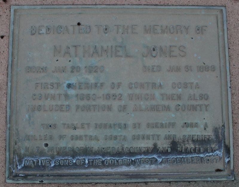
Photographed by Joseph Alvarado
1. Nathaniel Jones Marker
This tablet donated by Sheriff John A Miller of Contra Costa County and Sheriff M.B. Driver of Alameda County and placed by Native Sons of the Golden West. December 1937
Erected 1937 by Native Sons of the Golden West.
Topics and series. This historical marker is listed in this topic list: Law Enforcement. In addition, it is included in the Native Sons/Daughters of the Golden West series list. A significant historical year for this entry is 1850.
Location. 37° 53.784′ N, 122° 6.026′ W. Marker is in Lafayette, California, in Contra Costa County. It can be reached from Mount Diablo Boulevard west of Mt Diablo Court when traveling south. The plaque is mounted to a concrete foundation in the Lafayette Cemetery, block 16, lot 32W. Touch for map. Marker is at or near this postal address: 3285 Mount Diablo Boulevard, Lafayette CA 94549, United States of America. Touch for directions.

Regionally, this marker is in California’s San Francisco Bay Area and on the Coast Ranges. It is also on the American Pacific Coast. Globally,
this page online
Other nearby markers. At least 8 other markers are within one mile of this marker, measured as the crow flies: Rolling Ridge Ranch (approx. 0.7 miles away); Way Side Inn (approx. one mile away); Geils Building (approx. one mile away); Pioneer Store (approx. one mile away); Dedicated to the Pony Express (approx. one mile away); Lafayette House (approx. 1.1 miles away); Deodar Cedars (approx. 1.1 miles away); Lafayette Grammar School (approx. 1.1 miles away). Touch for a list and map of all markers in Lafayette.
Also see . . .
1. Past Sheriffs of Contra Costa.
"Jones belonged to one of the first two families to establish roots in Contra Costa County."(Submitted on February 21, 2023, by Joseph Alvarado of Livermore, California.)
2. Sheriff Jones on Find A Grave. (Submitted on February 21, 2023, by Joseph Alvarado of Livermore, California.)
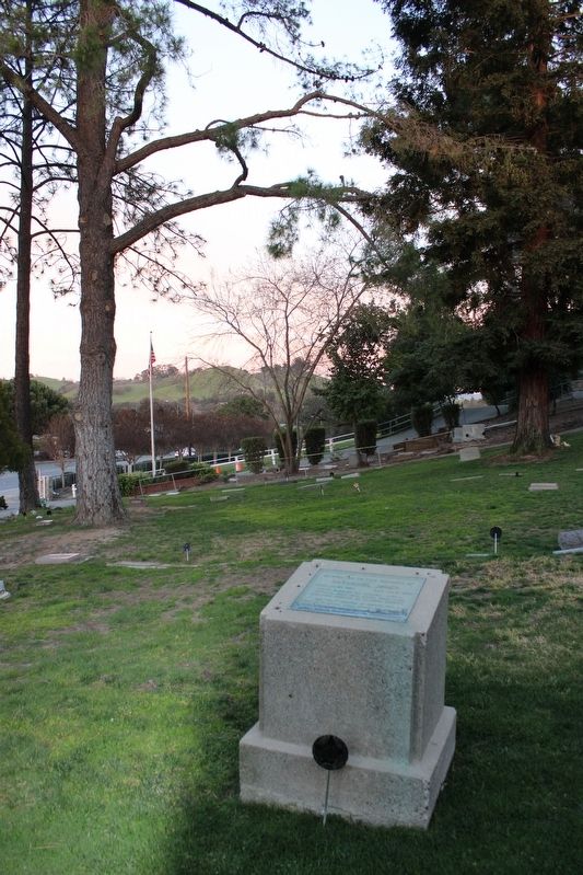
Photographed by Joseph Alvarado, February 20, 2023
2. Nathaniel Jones Marker

Contra Costa Sheriff Website
3. Sheriff Nathaniel Jones
Credits. This page was last revised on February 21, 2023. It was originally submitted on February 21, 2023, by Joseph Alvarado of Livermore, California. This page has been viewed 316 times since then and 20 times this year. Photos: 1, 2, 3. submitted on February 21, 2023, by Joseph Alvarado of Livermore, California.
